Current Launch Hazards: Space Operations Launch and Recovery (SOLAR) Chart
 |
NowCOAST provides situational awareness on present and future environmental conditions for coastal and marine users by integrating data and information from across NOAA, other federal agencies and regional ocean and weather observing systems. Users can assess present conditions by creating maps of the latest in-situ weather/marine weather observations for the last few hours. |
 |
 |
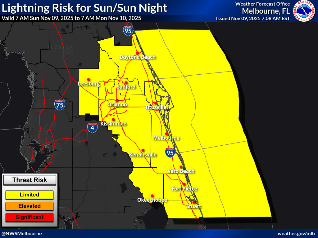 |
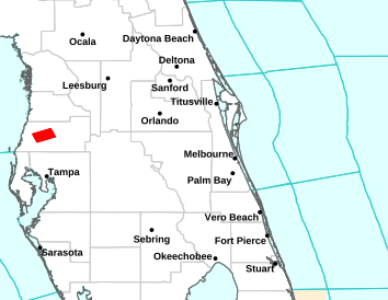
Marine Forecasts, Statements, Warnings, and Hazards |
||||
| Coastal Waters Forecast | Surf Zone Forecast | Special Marine Warnings | Marine Weather Statements | Marine Weather Messages |
 |
 |
 |
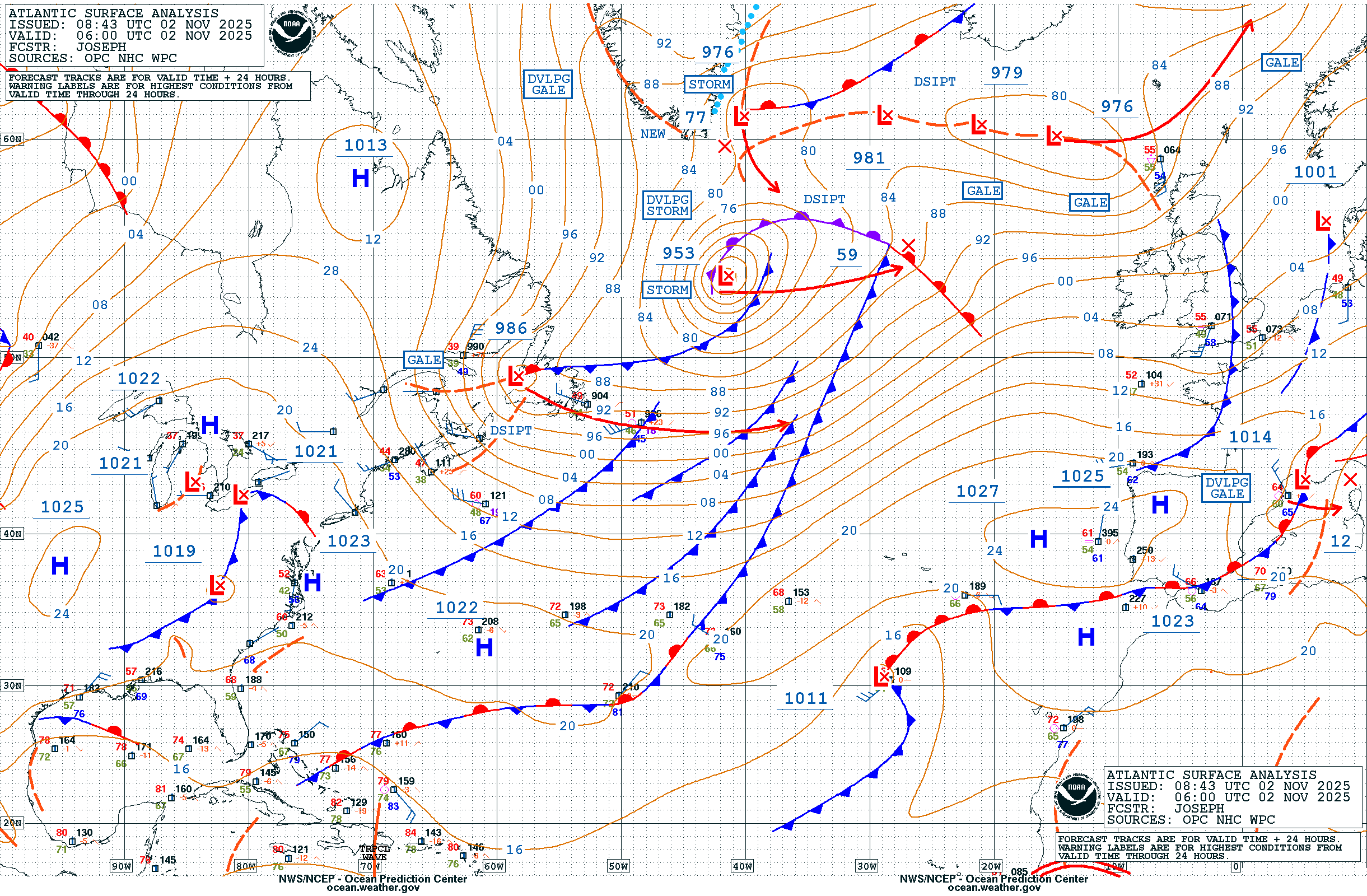
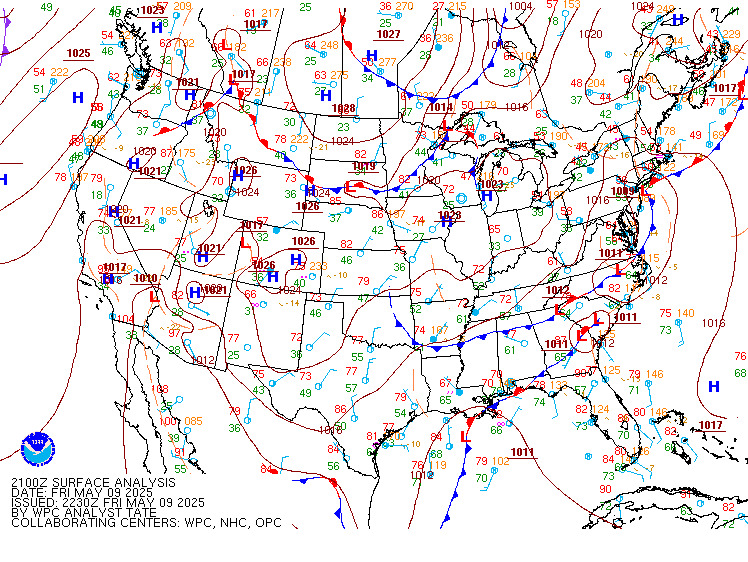
| Atlantic Surface Analysis | CONUS Surface Analysis | Tropical Weather Outlook |
 |
 |
Nearshore Wave Prediction System Viewer
  |
Ponce Inlet | Port Canaveral | Sebastian Inlet | Fort Pierce Inlet | St. Lucie Inlet |
High Astronomical Tides (King Tides)
Higher than normal astronomical tides can increase the risk for coastal flooding, and other impacts at the beaches and Intracoastal Waterways. Additional information is available on our East Central Florida High Astronomical Tides page.
| Ponce Inlet (41069) | Ponce Inlet Wave (41070) | ||
| Buoys | Port Canaveral (41113) | Port Canaveral 20 NM (41009) | Port Canaveral 120 NM (41010) |
| Fort Pierce (41068) | Fort Pierce Wave (41114) |
National Data Buoy Center | MLB Legacy Buoy Page
Courtesy USSF Space Launch Delta 45
| Wind Tower Mesonet | 915 mHz Wind Profilers: (1) (2) (3) (4) (5) |
| MLB Safe Boating Page | MLB Rip Currents | NWS Rip Current Safety | Marine Observation Program |
| MLB Nearshore Buoys | Old MLB Marine Page | Voluntary Ship Observation Program |
| Tropical Analysis & Forecast Branch (TAFB) | Ocean Prediction Center | Model Analysis |
| Atlantic Offshore Marine Forecast | GFS-WAVE Viewer | |
| Gulf Offshore Marine Forecast | GFS-WAVE Tabular Data (Text) |
| Note to Users of Wave Forecasts | Explanation of Dominant Wave Period |
| Coastal Waters Forecast Wave Detail | Using Aviation Forecasts for Mariners |
| Old MLB Marine Page | |



 Follow us on X
 Follow us on Facebook
 MLB RSS Feed