Jacksonville, FL
Weather Forecast Office
|
Marine Page for Southeast Georgia and Northeast Florida |
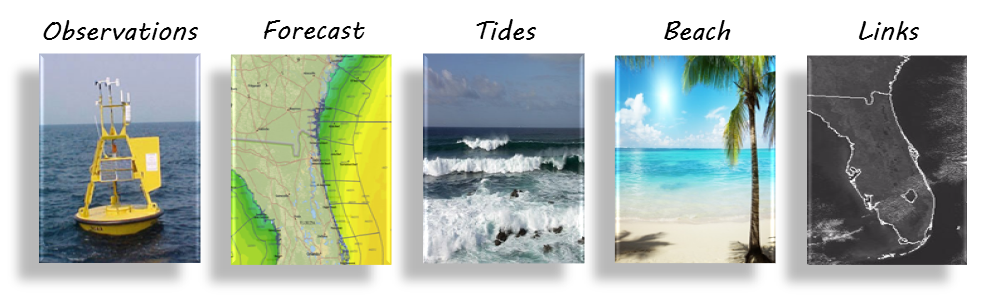
| To view marine forecast, click on a zone below: | ||
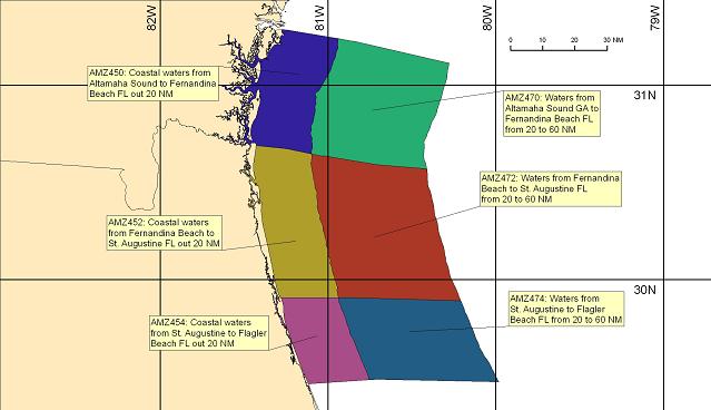
Coastal Waters Forecasts are subdivided by zone, each identified by text description and a Universal Generic Code (UGC). The different colors used in the map above have no meaning and are only intended to assist in differentiating the zones. Check out the new Marine Portal Weather Ready Nation (WRN) Marine Ambassador Program FAQs: What is meant by the term "Seas" in the Coastal Marine Forecast? Click Here For Answer. What is the "Dominant Wave Period" in the Coastal Marine Forecast? Click Here For Answer. The Offshore and Coastal Waters forecasts are also available via e-mail
|
||
US Dept of Commerce
National Oceanic and Atmospheric Administration
National Weather Service
Jacksonville, FL
13701 Fang Dr.
Jacksonville, FL 32218
(904) 741-4370
Comments? Questions? Please Contact Us.

