National Weather Service United States Department of Commerce

Flood Watch Continues for Portions of Northeast FL

Waves of showers expected today along much of the I-95 and U.S. Highway 17 corridors in northeast and north central FL. The threat for flooding will be exacerbated around times of high tide at coastal locations. Turn Around, Don't Drown! Read More >


NWS Jacksonville Decision Support Services


Immediate Support

NWS Jacksonville Operations
904-741-4370 extension 1

NWS Jacksonville Briefing  


NWSChat2.0 by Slack 
Channel: #wfo-jacksonville-fl
About NWSChat 
Registration Job Sheet


      NWS Jacksonville 

  @NWSJacksonville


Forecast Options (Choose Location)

Products & Services

EM Lunch & Learns

   
Severe Weather
     
Day 1
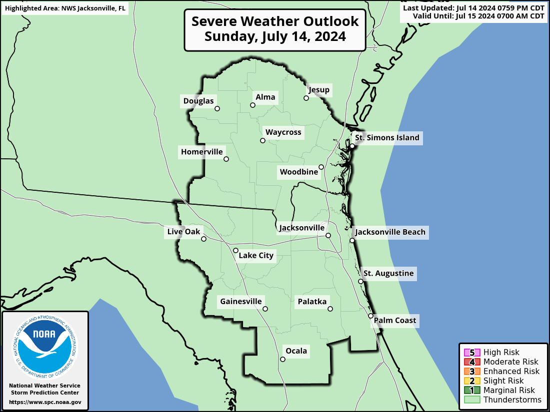
Day 1 outlook
Day 2
Day 1 outlook
Day 3
Day 1 outlook
     
Mesoscale Discussion
Meso discussion
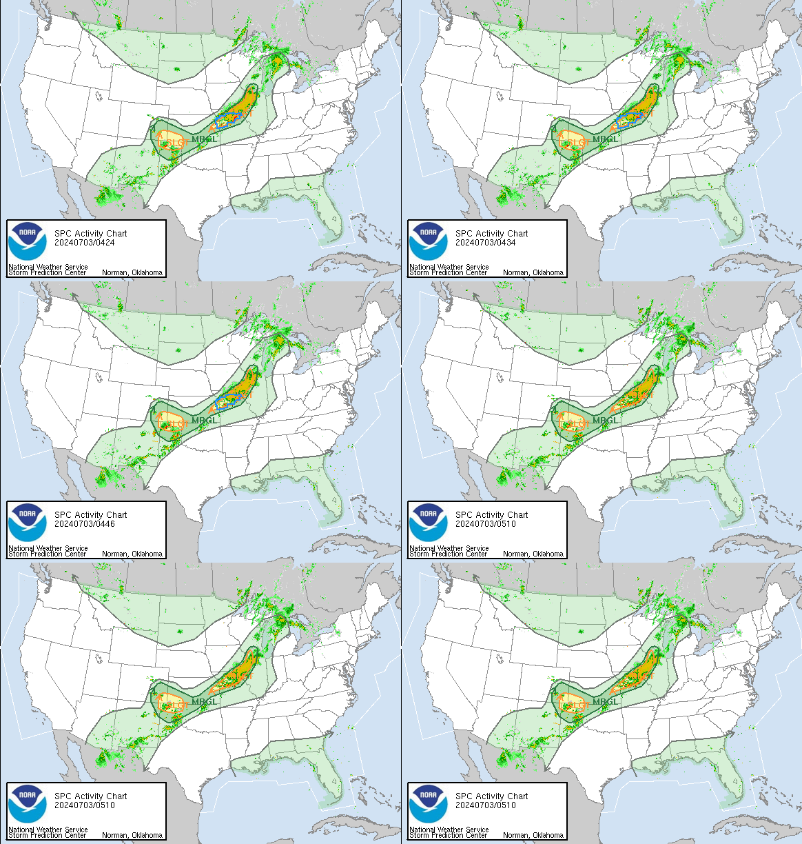
SPC Activity Chart

1-hour radar loop, Day 1 Convective Outlook & all active watches.
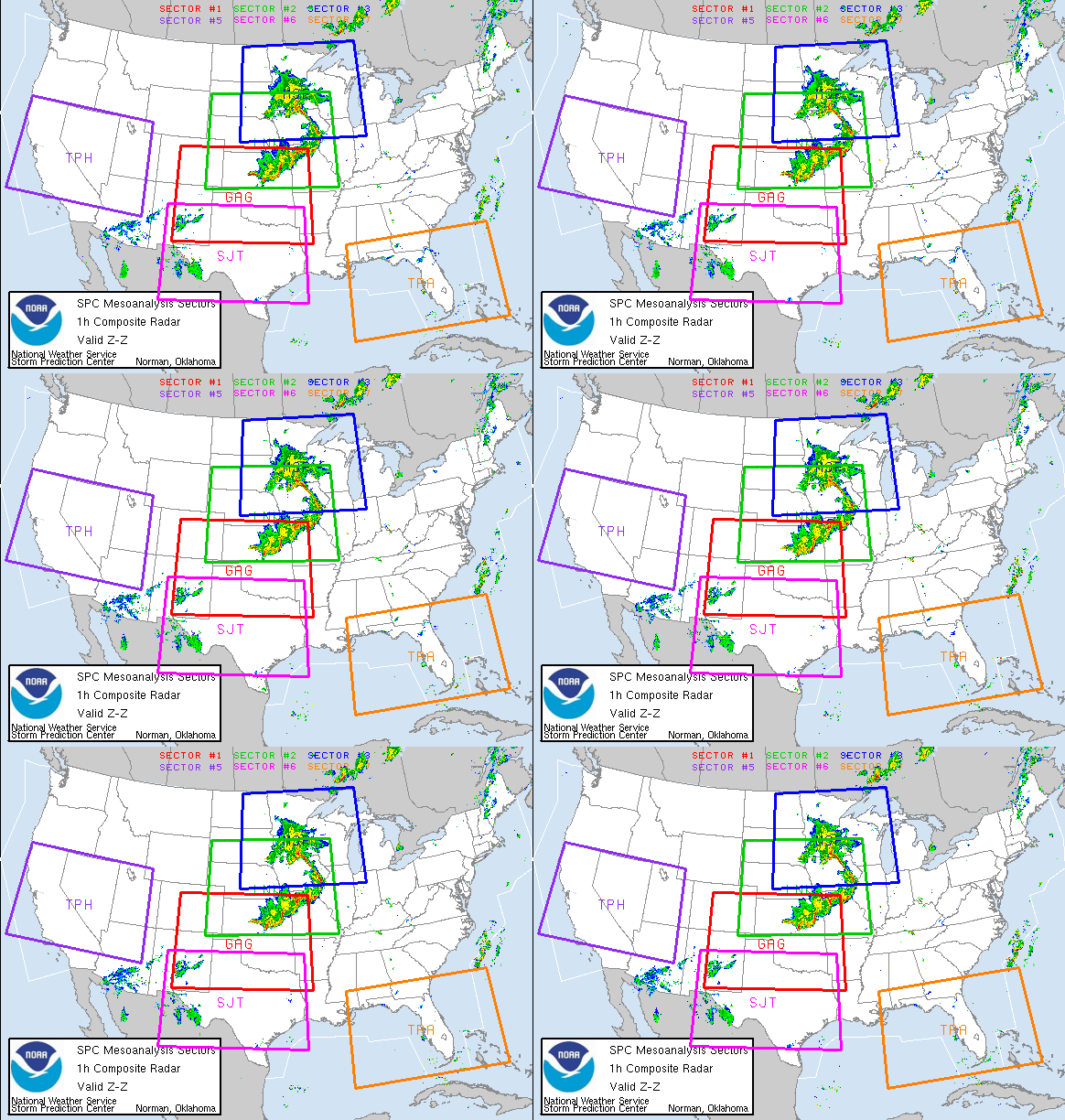
SPC Mesoanalysis Chart

Click on image for detailed severe weather parameters sectors across the county.


Rainfall Outlooks
     
Excessive Rain Day 1
Day 1 outlook
Excessive Rain Day 2
Day 2 outlook
Excessive Rain Day 3
Day 3 outlook
     
Day 1-7 Forecast Rainfall
Rainfall Day Forecast 1-7
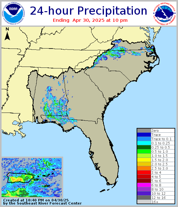
Last 24-hr Rainfall
Last 24-hr Rainfall
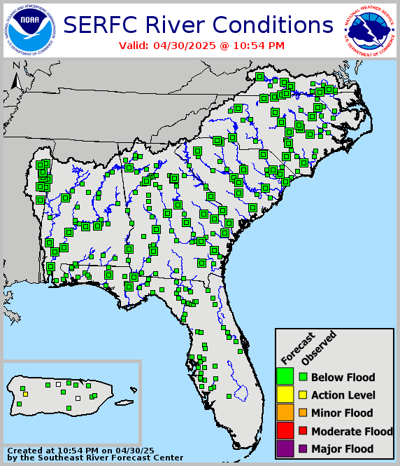
Regional River Status
     
Tropical
     
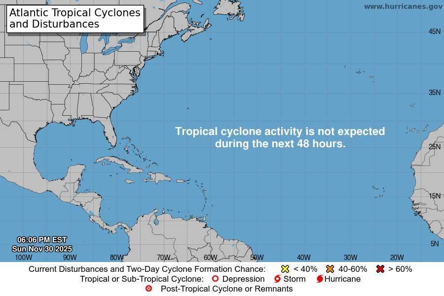
Current Storms
Active Storms
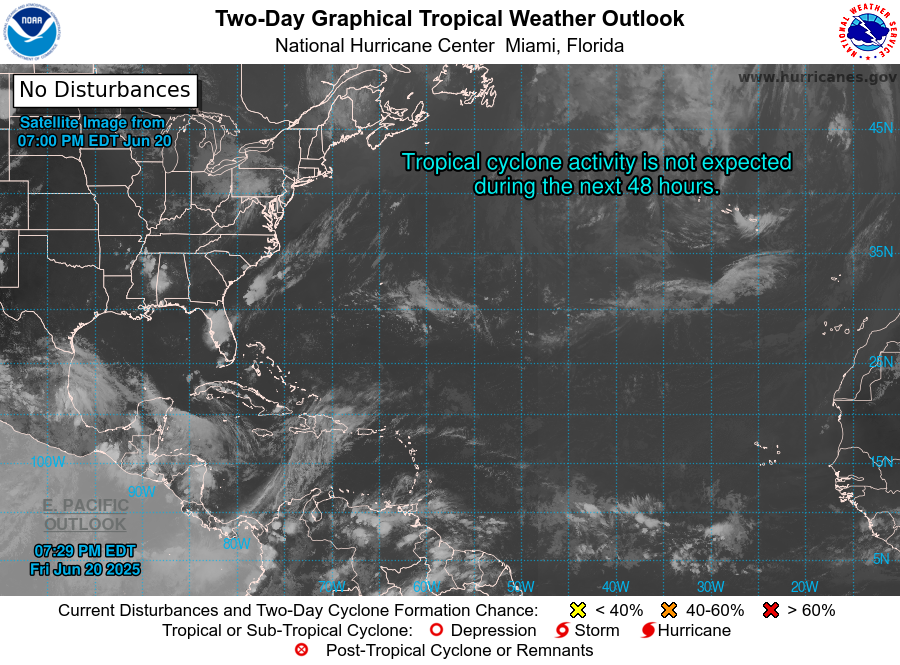
Two Day Tropical Outlook
2 Day Tropical Outlook outlook
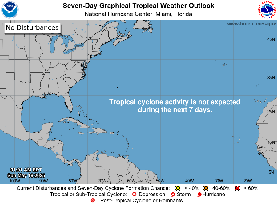
7 Day Tropical Outlook
5 Day Tropical Outlook outlook  
     
Fire Weather Outlooks
     
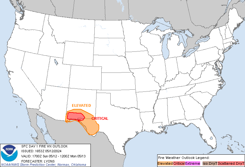
SPC Day 1 Fire Outlook
 Fire Weather Outlook Day 1
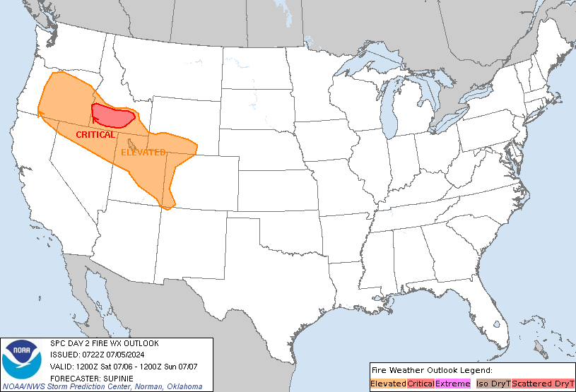
SPC Day 2 Fire Outlook
 Fire Weather Outlook Day 2
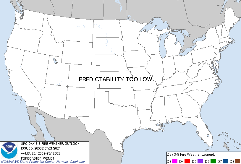
SPC Fire Outlook Days 3-8
     
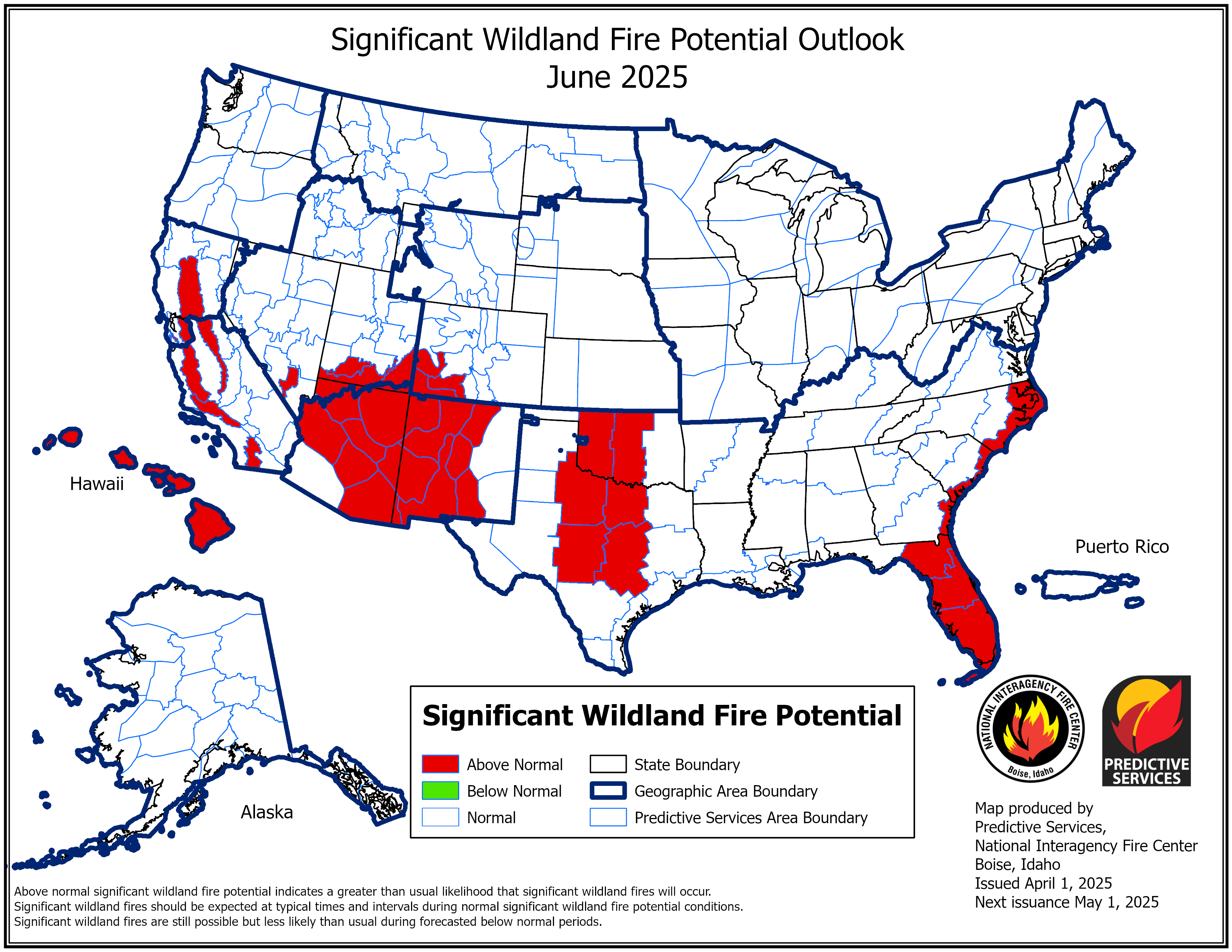
Month 1 Wildfire Outlook
Month 1 Wildland Fire Outlook
Month 2 Wildfire Outlook
 Month 2 Wildland Fire Outlook
Month 3 Wildfire Outlook