
Tropical moisture and a stalling cold front will fuel waves of downpours during the next several days. Several inches of rain are expected to fall along the I-95 corridor, increasing the risk for flooding, especially for urban and normally flood prone locations. Nor'easter conditions will bring gusty winds, dangerous surf and rip currents, and the potential for moderate tidal flooding. Read More >
This page provides links to observational data from our local area for tropical cyclone events since 2016.
NOTE: Point-based observations are unlikely to sample the most extreme conditions.
Hurricane Milton
|
Picture: Drone footage of flooding in Sportsman Harbor near Welaka from Action News JAX. |
Hurricane Helene
|
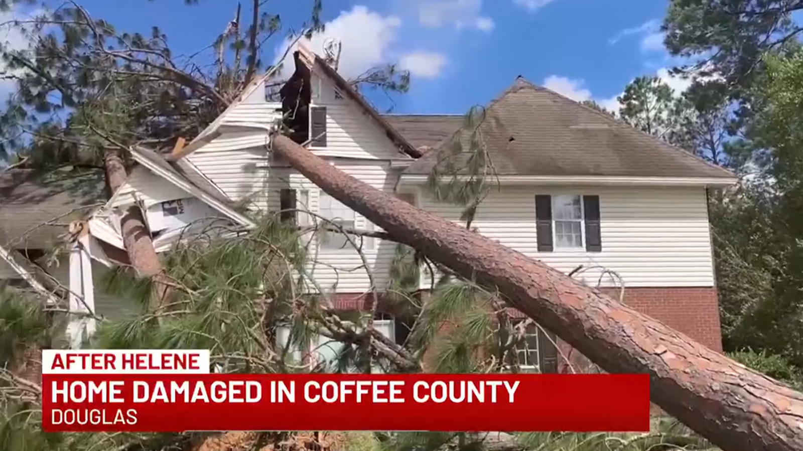
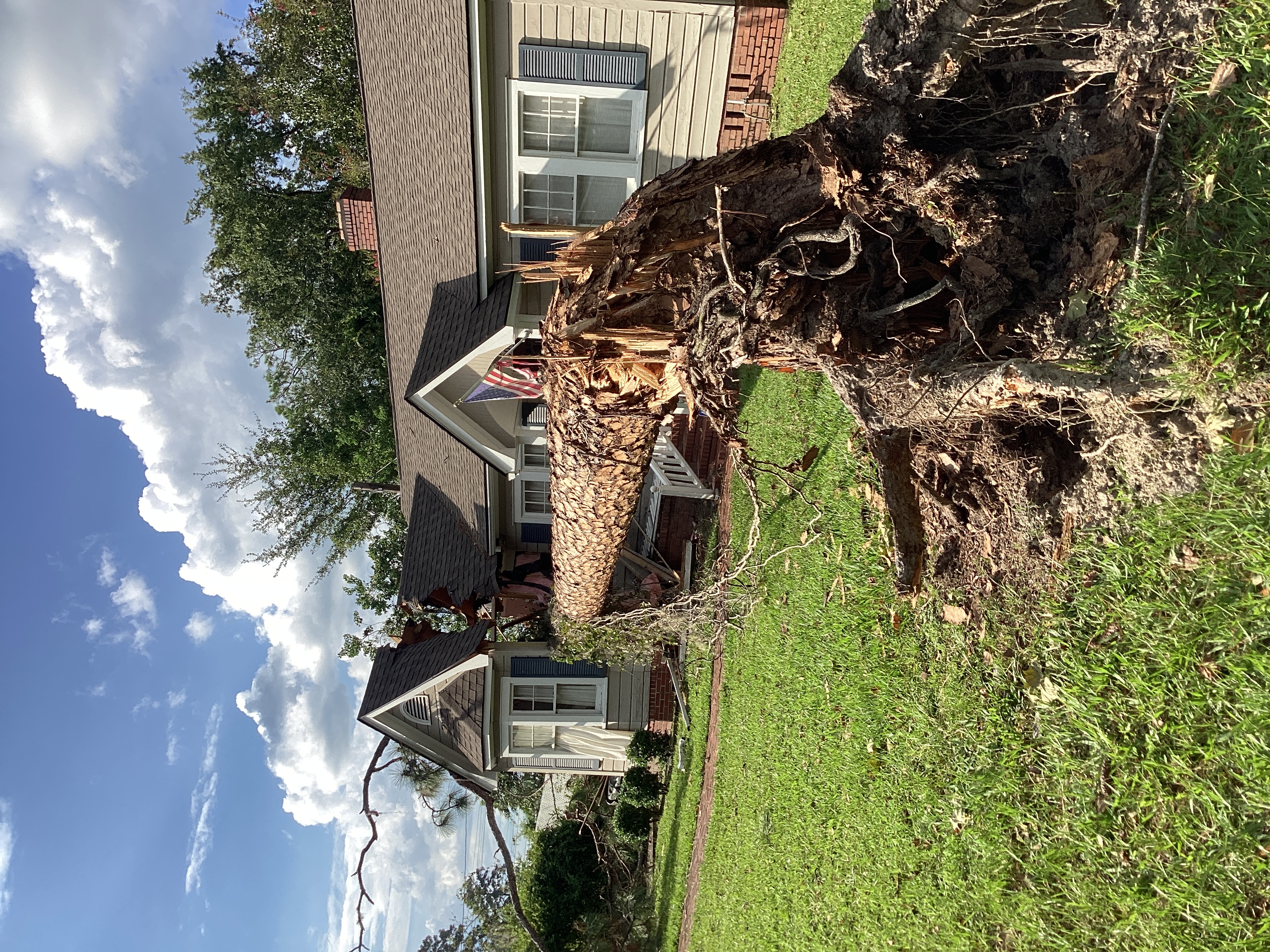
Picture: Trees fell on and damaged a home in Douglas, GA taken by WALB. |
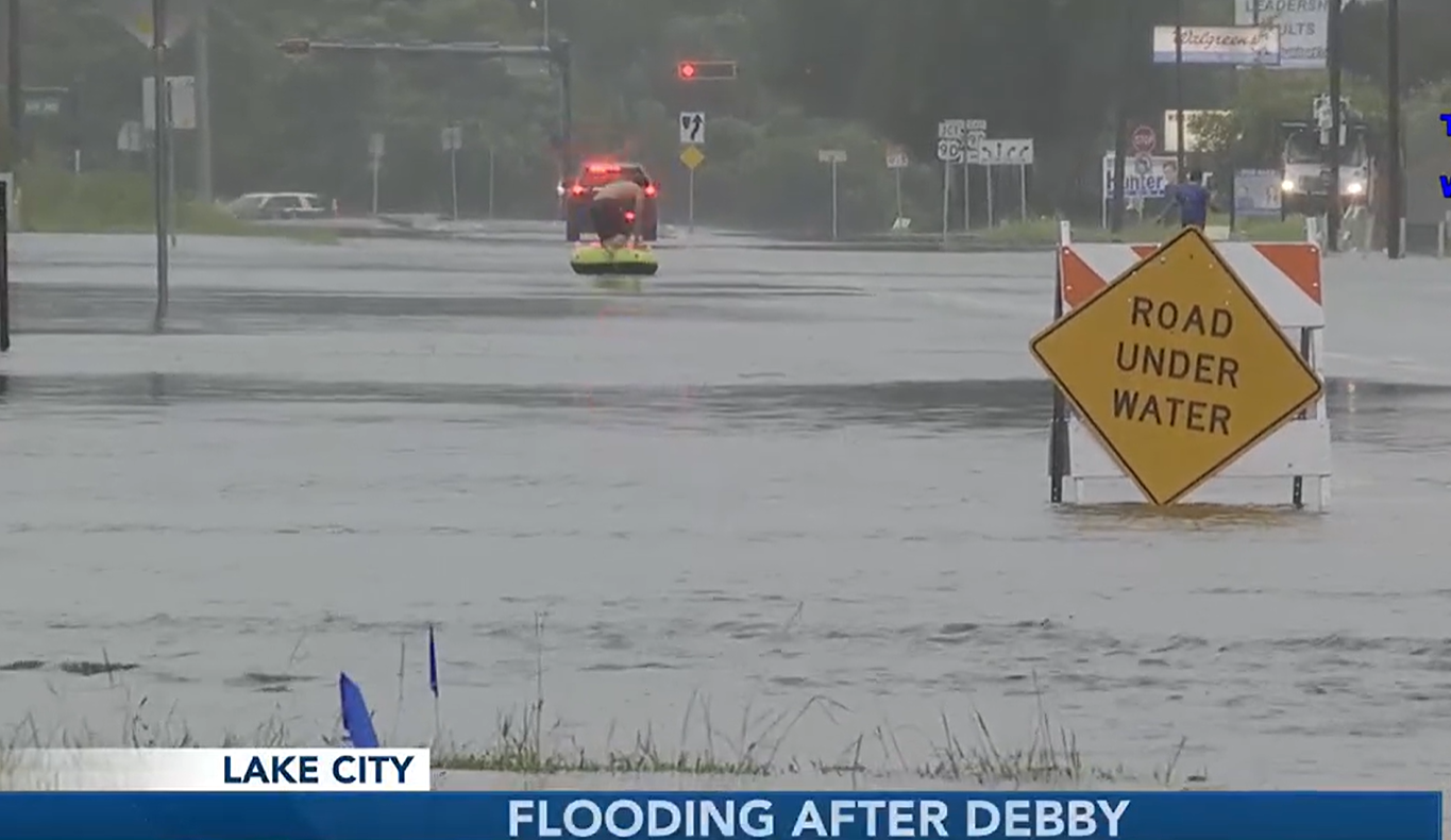
Hurricane Debby
|
|
Hurricane Idalia
|
|
Hurricane Nicole
|
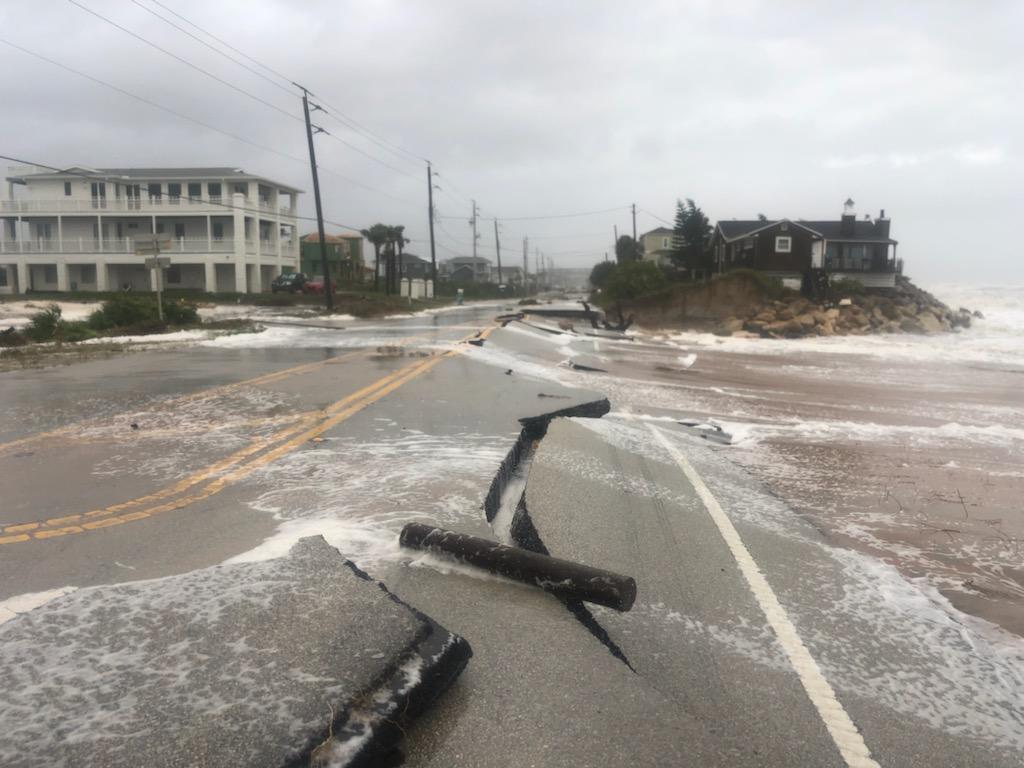
Picture: A1A road collapse near Vilano Beach taken by St Johns County Emergency Manager |
Hurricane Ian
|
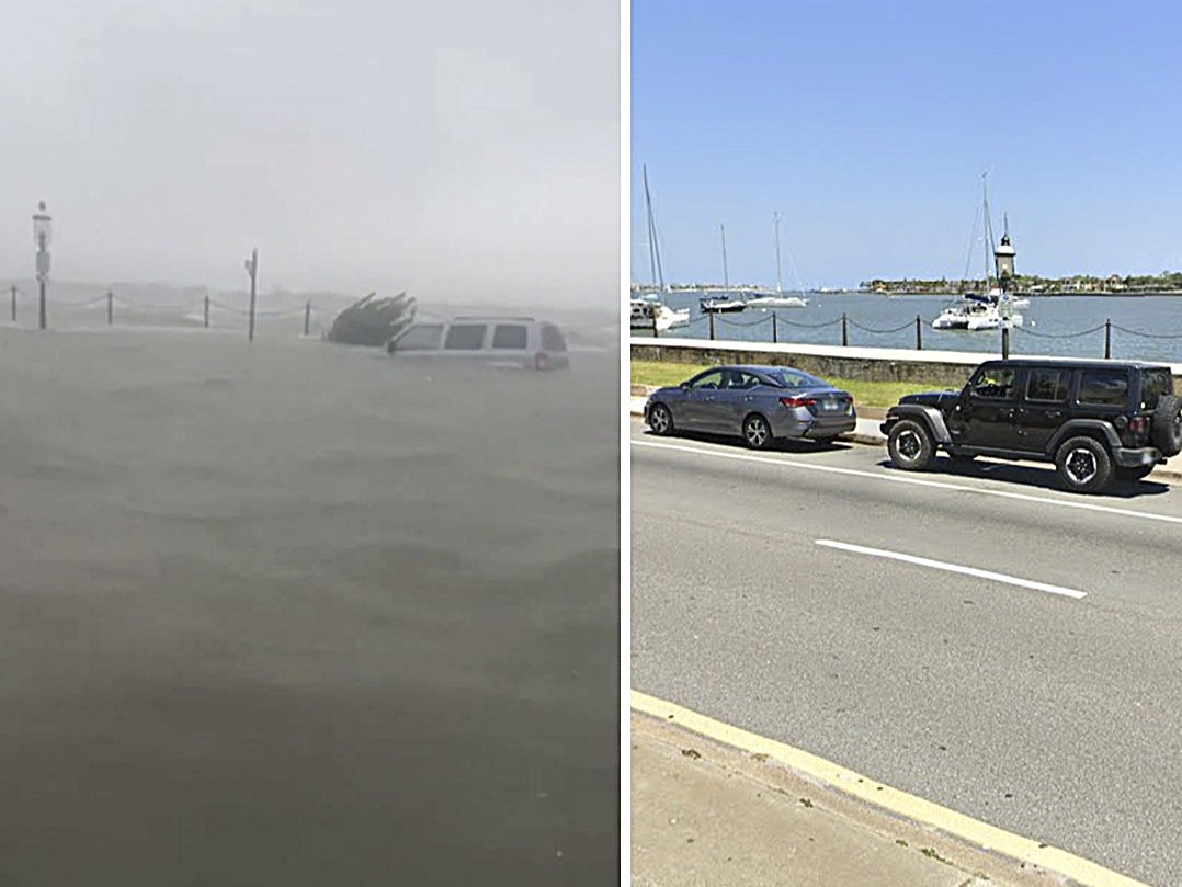
Picture: Surge flooding comparison on A1A near Treasury St during Ian. Pictures are from Riley and 904NOW cams. |
Hurricane Elsa
|
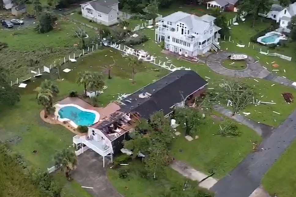
Picture: Tornado damage in St. Marys taken from drone footage. |
Hurricane Irma
|
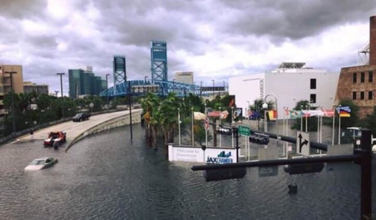
Picture: Downtown Jacksonville flooding taken by Jacksonville Sheriffs Office |
Hurricane Matthew
|
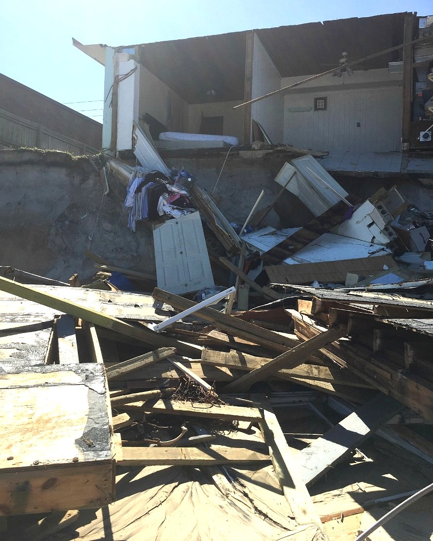
Picture: House collapsed due to surge in Vilano Beach, FL. Taken on a NWS Storm Survey |




 Follow us on X
 Follow us on Facebook
 Follow us on YouTube
 JAX RSS Feed