There is a Marginal Risk (level 1 of 5) for severe thunderstorms across much of East Central Florida again today, Saturday, May 10, 2025. This activity is expected between 3 PM and 10 PM. Hazards are wind gusts of 45-55 mph with a 5% chance for locally damaging gusts to 60 mph, coin-sized hail with a 5% chance for hail up to 1 inch, locally heavy rainfall, and deadly lightning.
There is a Marginal (level 1 of 4) risk for excessive rainfall across portions of East Central Florida again today, Saturday, May 10, 2025. Locally heavy rainfall, especially locations that get repeated rounds, could lead to ponding of water on roads, and minor flooding of low-lying and poor drainage areas.
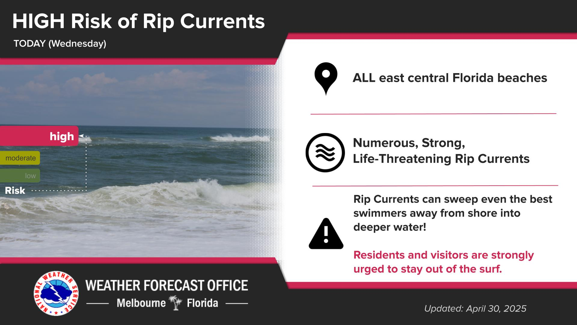
A Moderate Risk for dangerous rip currents continues at the central Florida Atlantic beaches. Remember to always swim near a lifeguard and never enter the water alone.


 Interactive Radar
 Regional Satellite
 Severe Weather