There are no watches, warnings, or advisories at this time.
Today's Outlook
Excessive Rainfall Risk
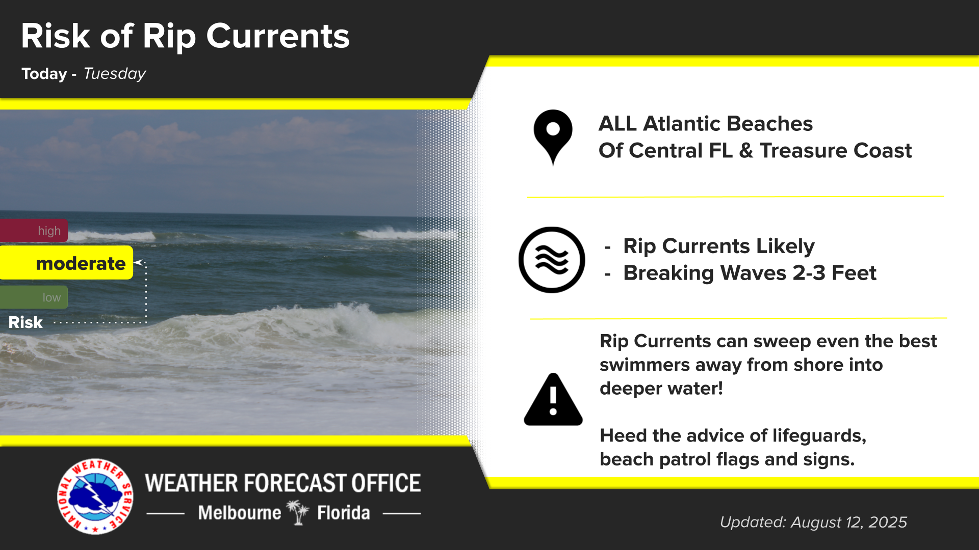
Rip Current Risk
Looking Ahead
Forecast
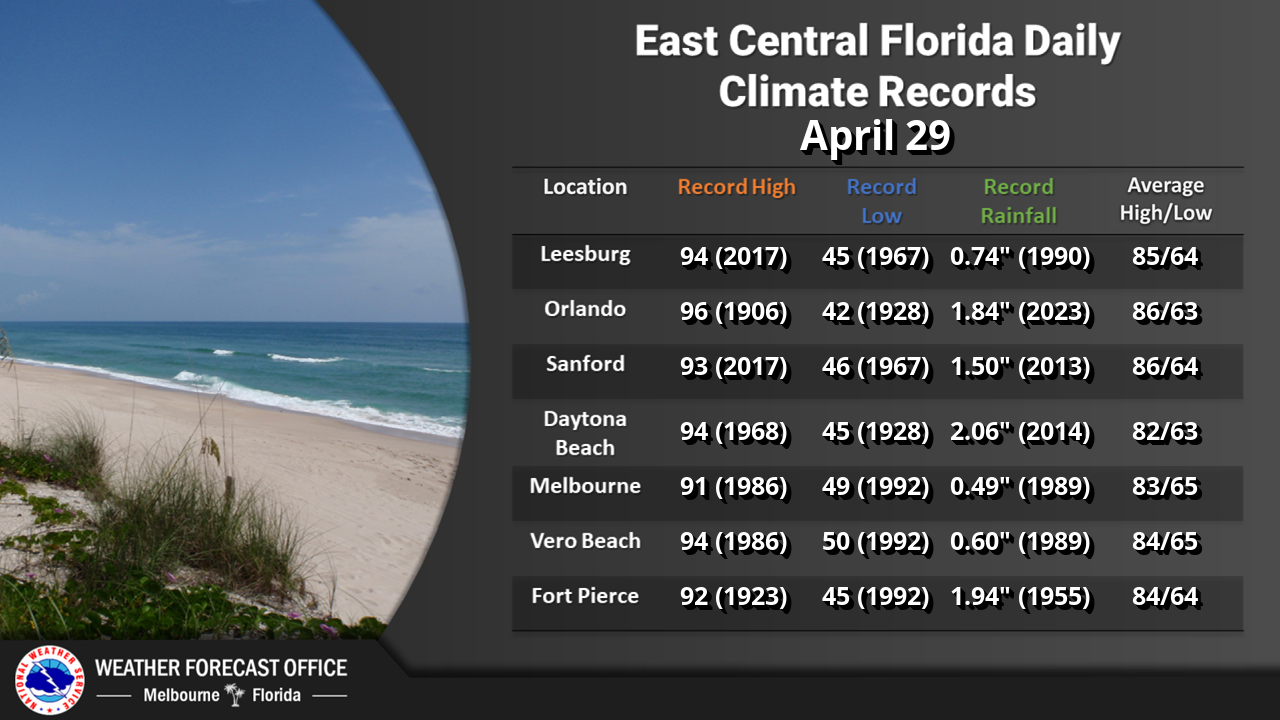
Climate
Click/tap image to enlarge | Scattered to numerous showers and storms are forecast today, highest across the interior west of I-95. Flooding is the primary concern, with lightning and wind gusts also anticipated with storm activity.
Click/tap image to enlarge | A Marginal Risk (1/4) of excessive rainfall is forecast today across east central Florida. Rainfall accumulations of 2-4" will be possible and there is a 5% chance of totals reaching 5" and greater in some spots.
Click/tap image to enlarge | There is a moderate risk of rip currents at all east central Florida beaches today. Always swim near a lifeguard and never enter the surf alone!


















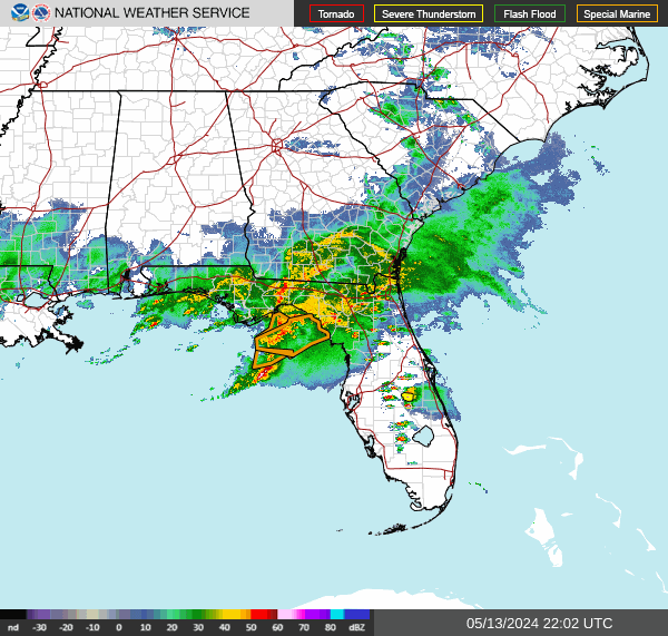 Interactive Radar
 Regional Satellite
 Tropical Weather
 Follow us on X
 Follow us on Facebook
 MLB RSS Feed