There are no watches, warnings, or advisories at this time.
Today's Outlook
Rip Currents
Looking Ahead
Maximum Heat Index Forecast
Forecast
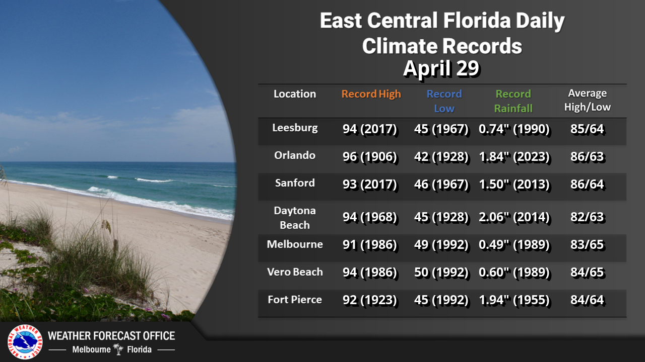
Climate
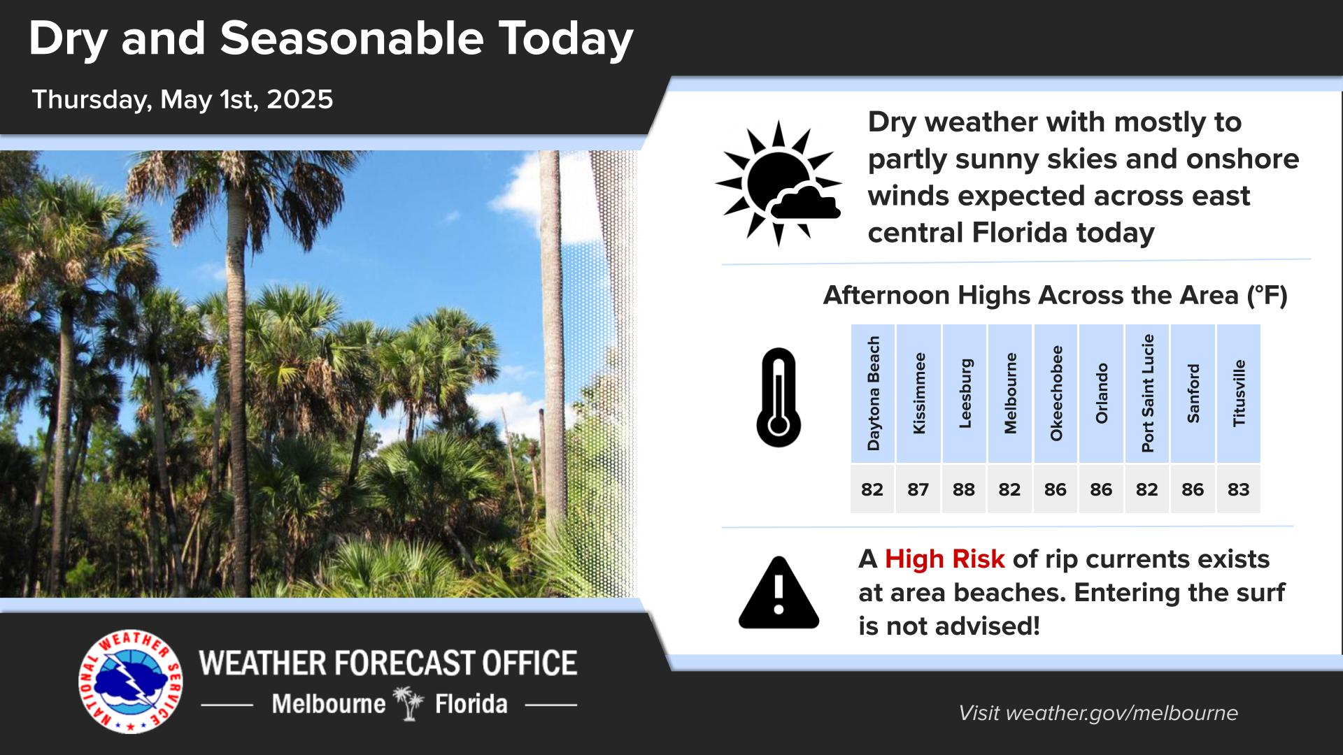
Click/tap image to enlarge | Scattered to numerous showers and lightning storms are forecast this afternoon and evening before rain chances diminish around 9PM. The primary storm hazards with isolated storms are occasional to frequent lightning, wind gusts up to 40-50mph, and heavy rainfall (up to 1-3" in 60mins). There is a Marginal Risk for excessive rainfall (level 1 of 5) with the potential for flooding of roadways and low-lying areas. Seasonable hot and humid conditions are expected with highs in the upper 80s to mid 90s and heat index values up 102°F to 107°F. Additionally, there is a Moderate Risk for rip currents at the east central Florida beaches. Always swim near a lifeguard and never enter the water alone!
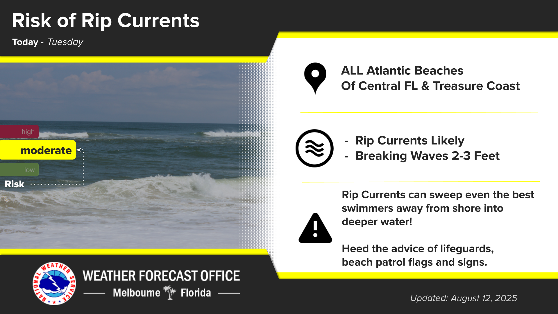
Click/tap image to enlarge | A Moderate risk of rip currents exists at all east central Florida beaches today. Always swim near a lifeguard, and never swim alone.
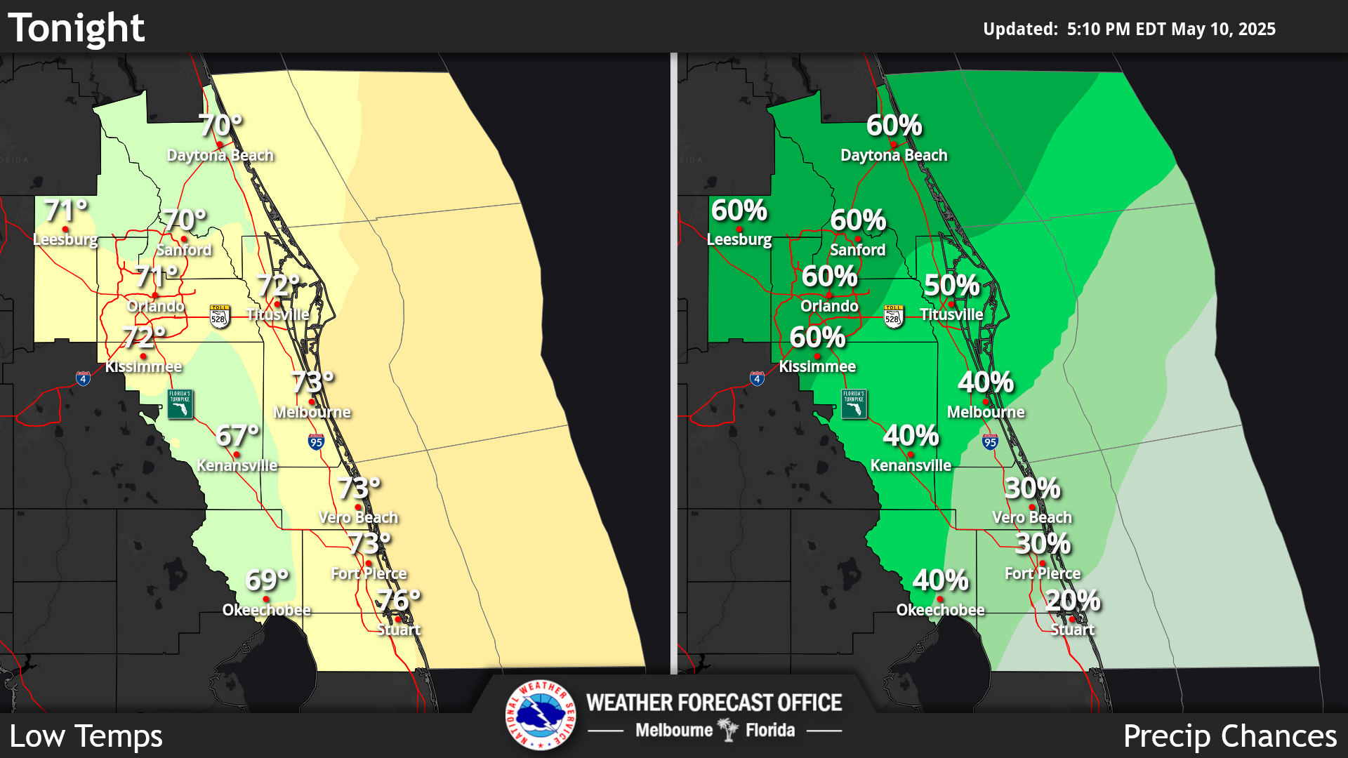
Click/tap image to enlarge | Scattered to numerous showers and lightning storms are forecast this afternoon/evening. Numerous to widespread showers and lightning storms are forecast each day mid week and into the weekend. The potential exists for a couple to a few strong storms each day. Temperatures will remain seasonably hot in the in the upper 80s to low 90s through Saturday.
Click/tap image to enlarge | A Moderate HeatRisk is expected this week. Seasonably hot high temperatures in the upper 80s to low 90s are forecast through the period, which when combined with humidity, will result in widespread peak afternoon heat index values of 102°F-107°F. Remember to practice heat safety if spending considerable time outdoors, especially during peak daytime heating.


















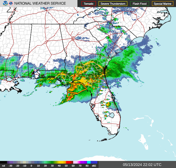 Interactive Radar
 Regional Satellite
 Tropical Weather
 Follow us on X
 Follow us on Facebook
 MLB RSS Feed