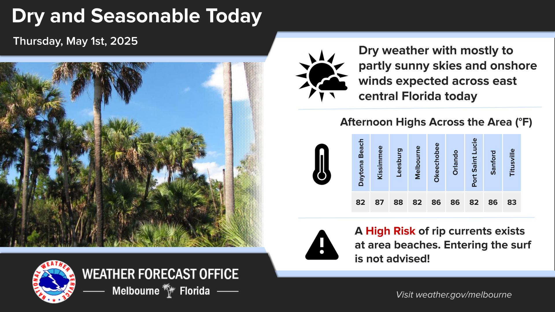
Click/tap image to enlarge | Noticeably drier and less humid today behind a cool front. Temperatures will be seasonably warm reaching the mid 80s with a north breeze of 10 to 15 mph. The only hazard is a moderate risk of rip currents at the beaches. Always swim within sight of a lifeguard.
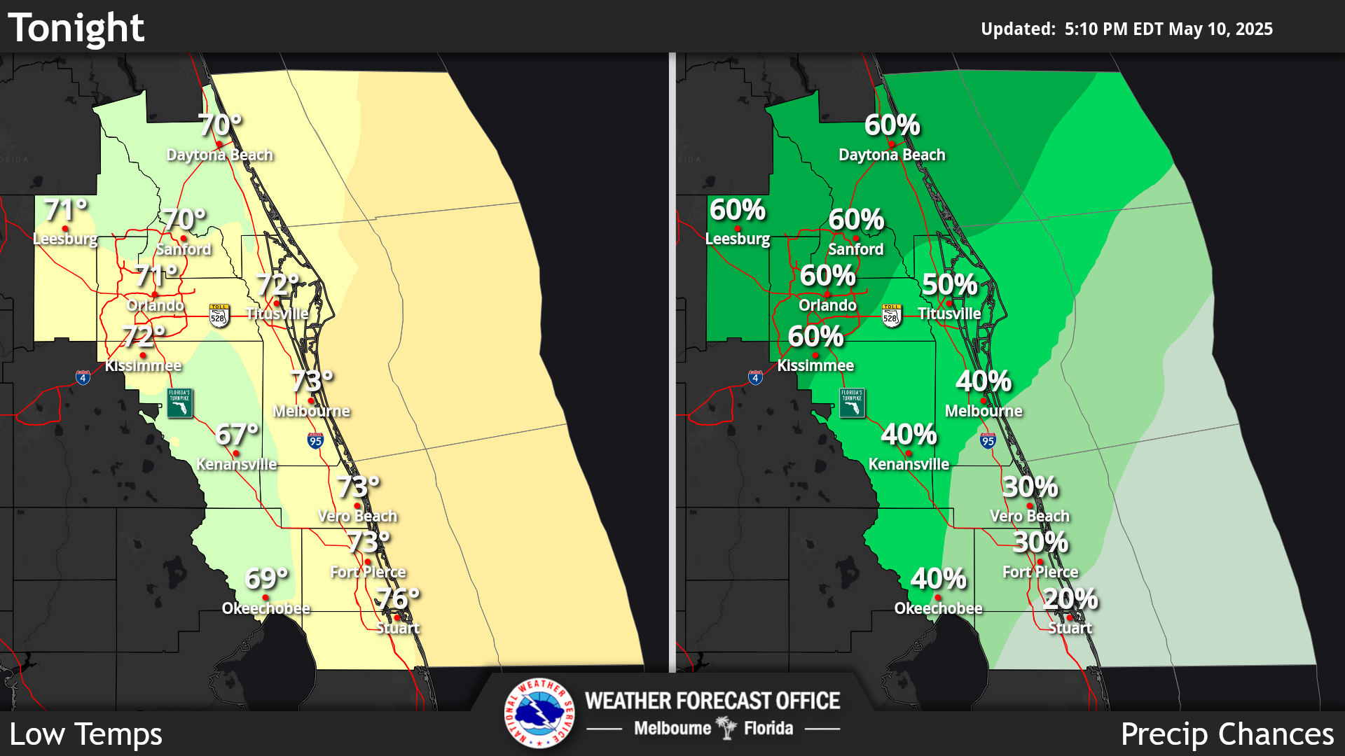
Click/tap image to enlarge | Cooler temperatures with noticeably lower humidity is expected through much of this week. Expect mostly dry weather before onshore flow develops and moisture increases mid to late week. Another cold front is expected Friday into Saturday.
Click/tap image to enlarge | There is a moderate risk of rip currents at the beaches of east central Florida today. Heed the advice of lifeguards, beach patrol flags and signs.


















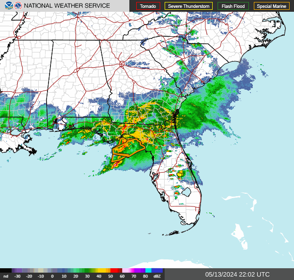 Interactive Radar
 Regional Satellite
 Tropical Weather
 Follow us on X
 Follow us on Facebook
 MLB RSS Feed