There are no watches, warnings, or advisories at this time.
Rip Currents
Maximum Heat Index Forecast
Looking Ahead
Tropical Weather Outlook
Forecast
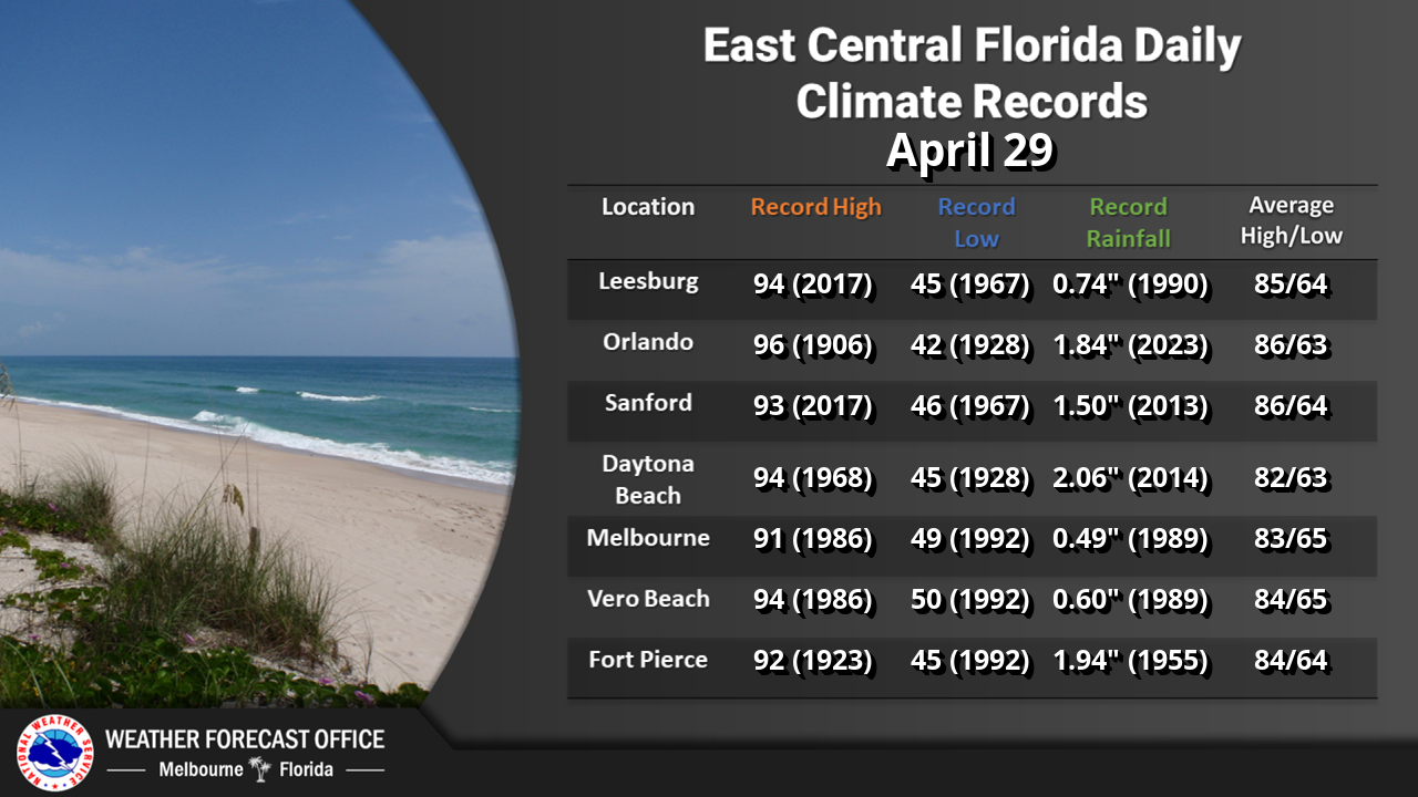
Climate
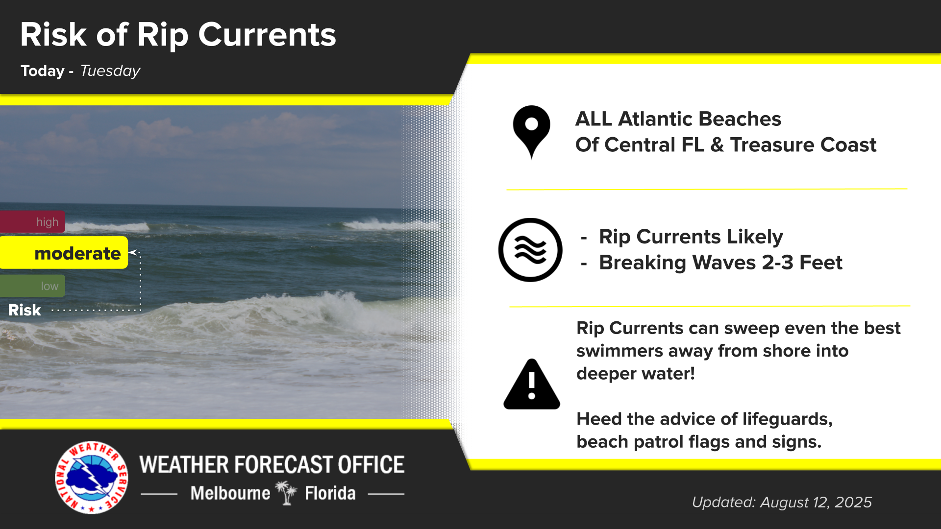
Click/tap image to enlarge | A Moderate risk of rip currents exists at all east central Florida beaches today. Always swim near a lifeguard, and never swim alone.
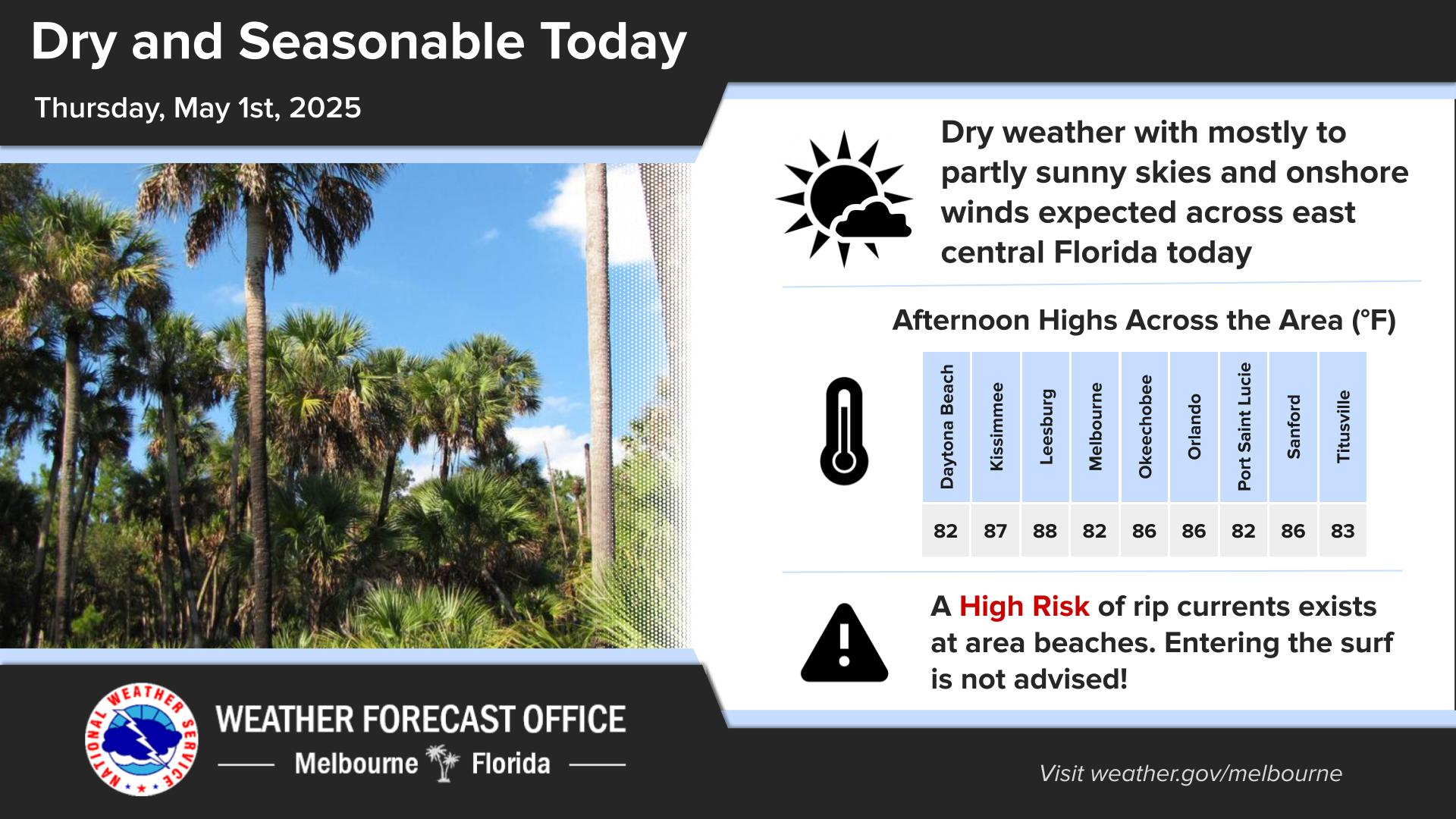
Click/tap image to enlarge | A Minor to Moderate HeatRisk is expected through Tuesday with pockets of Major HeatRisk. High temperatures in the low to mid 90s are forecast. Widespread maximum heat index values of 100°F to 105°F are forecast with the potential for up to 107°F. Remember to practice heat safety if spending considerable time outdoors.
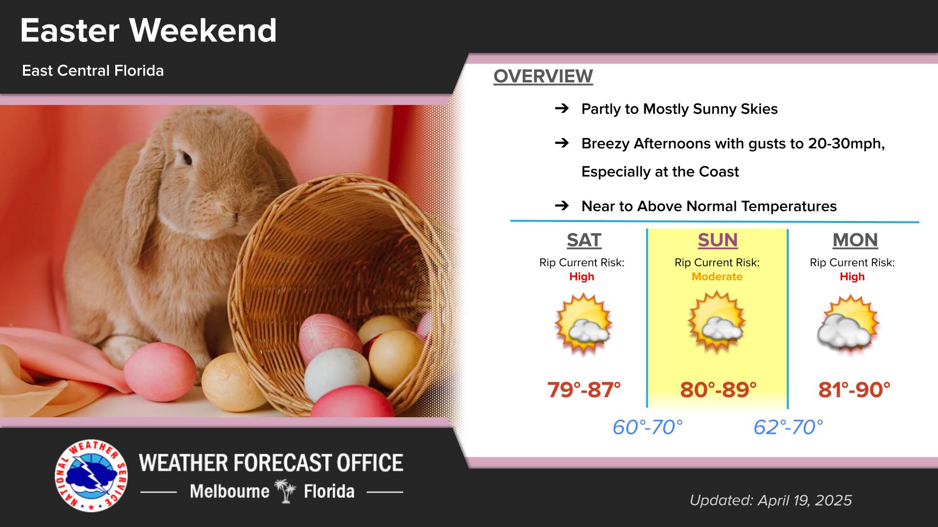
Click/tap image to enlarge | An active week is expected across east central Florida with at least scattered to numerous showers/lightning storms forecast each afternoon and evening. The potential exists for a few strong storms each day. Seasonable temperatures are forecast with a Minor to Moderate HeatRisk, as well as pockets of Major HeatRisk on most days. There is a Moderate Risk for rip currents. Remember to always swim near a lifeguard!
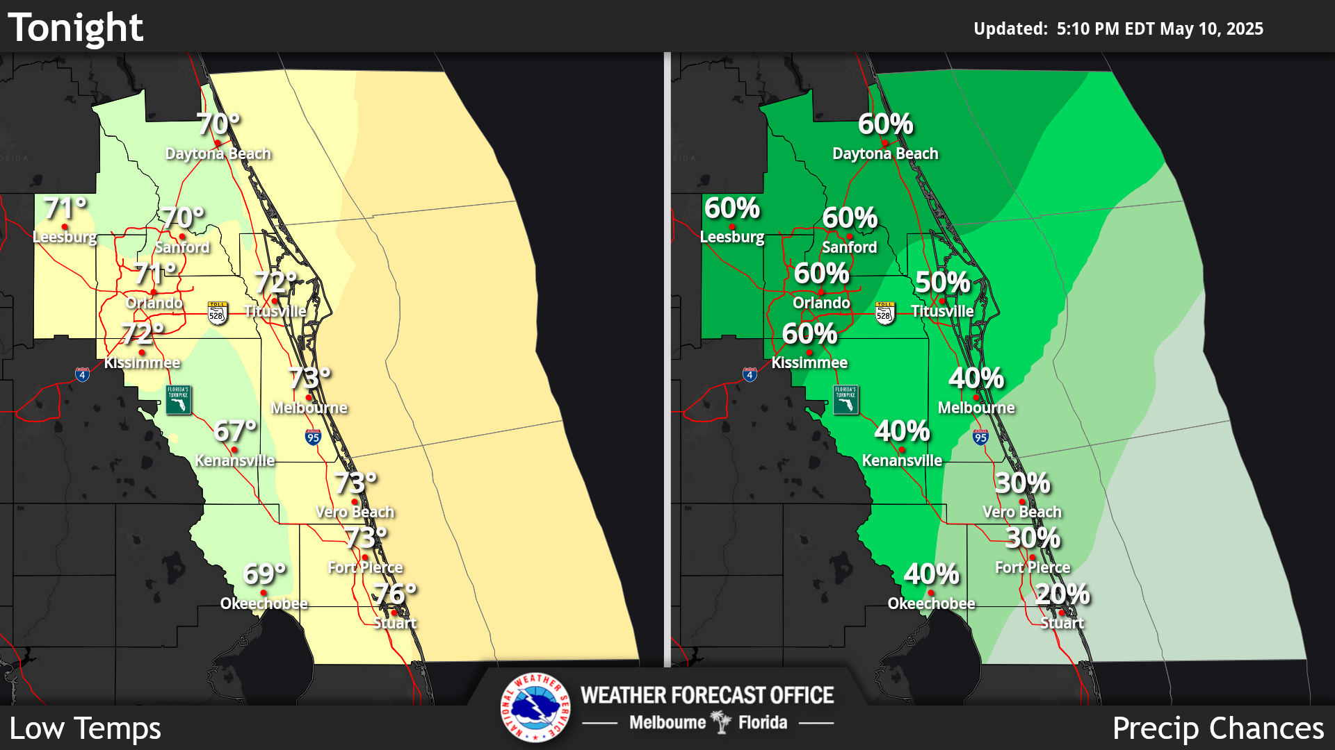
Click/tap image to enlarge | Two disturbances in the Atlantic and Gulf have low (10%) chances of develop over the next 7 days. The remnants of Tropical Storm Dolly, now a wave east of the Leeward Islands, is unlikely to redevelop while moving west-northwestward at 25 mph. In the Gulf, development, if any, of an area of weak low pressure will be slow over the next several days as the feature remains nearly stationary.


















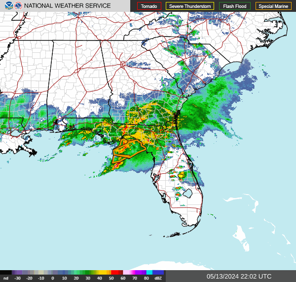 Interactive Radar
 Regional Satellite
 Tropical Weather
 Follow us on X
 Follow us on Facebook
 MLB RSS Feed