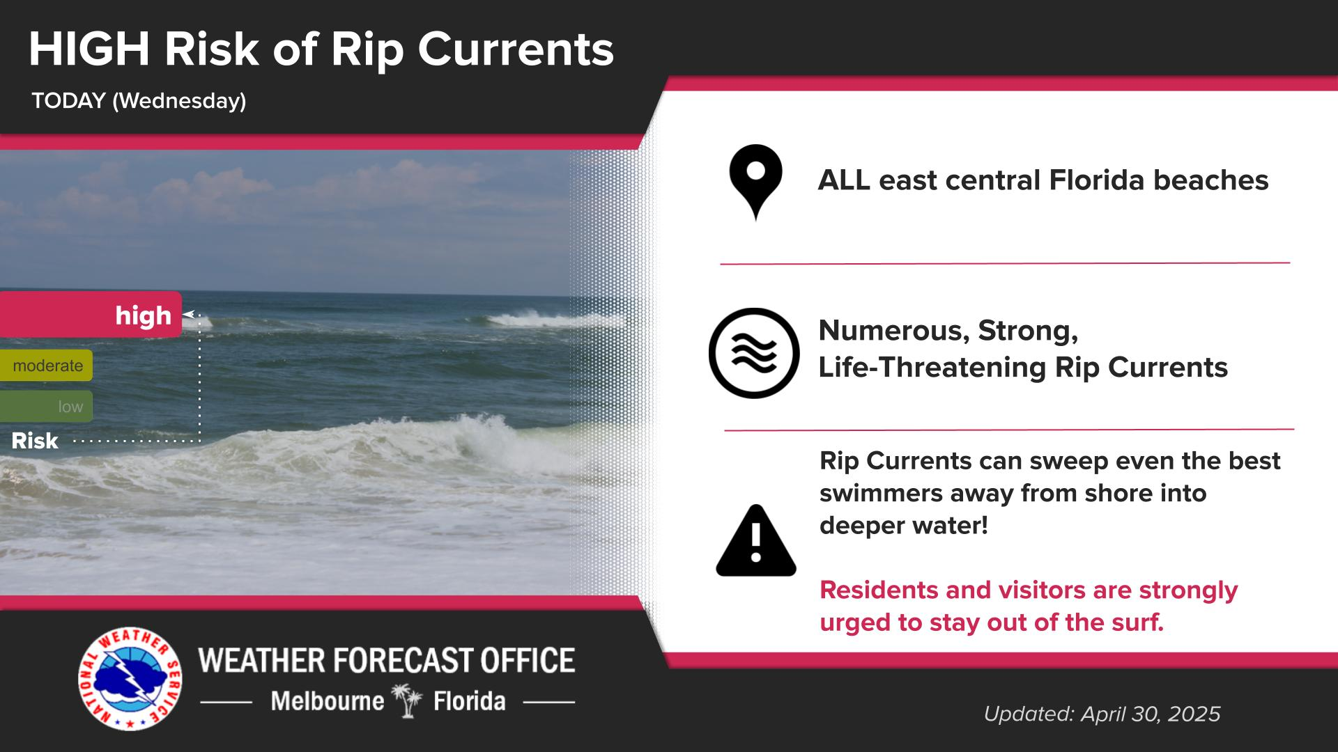
Dry weather is expected today with partly to mostly sunny skies. Winds are expected to increase into the afternoon from the east-southeast at around 10-15mph with gusts up to 20-25mph (especially near the coast) with the east coast sea breeze. Generally, seasonable temperatures are expected with afternoon highs in the upper 70s to low 80s near the coast and the low to upper 80s over the interior west of I-95. There is a High Risk of rip currents at the east central Florida beaches. Entering the surf is not advised.
Learn about severe weather, storm structure, and how to report important information to the National Weather Service! We're hosting SKYWARN Spotter Training classes in Volusia and Brevard counties next week. Sign up at https://www.weather.gov/mlb/skywarn.
Mostly dry weather is forecast through Friday before rain shower and lightning storm chances increase this weekend over east central Florida. There are currently abnormally dry to extreme drought conditions for areas of east central Florida. Drought conditions are expected to continue over east central Florida this week, however there is the potential for at least small improvements in drought conditions over east central Florida with rain chances this weekend into next week.
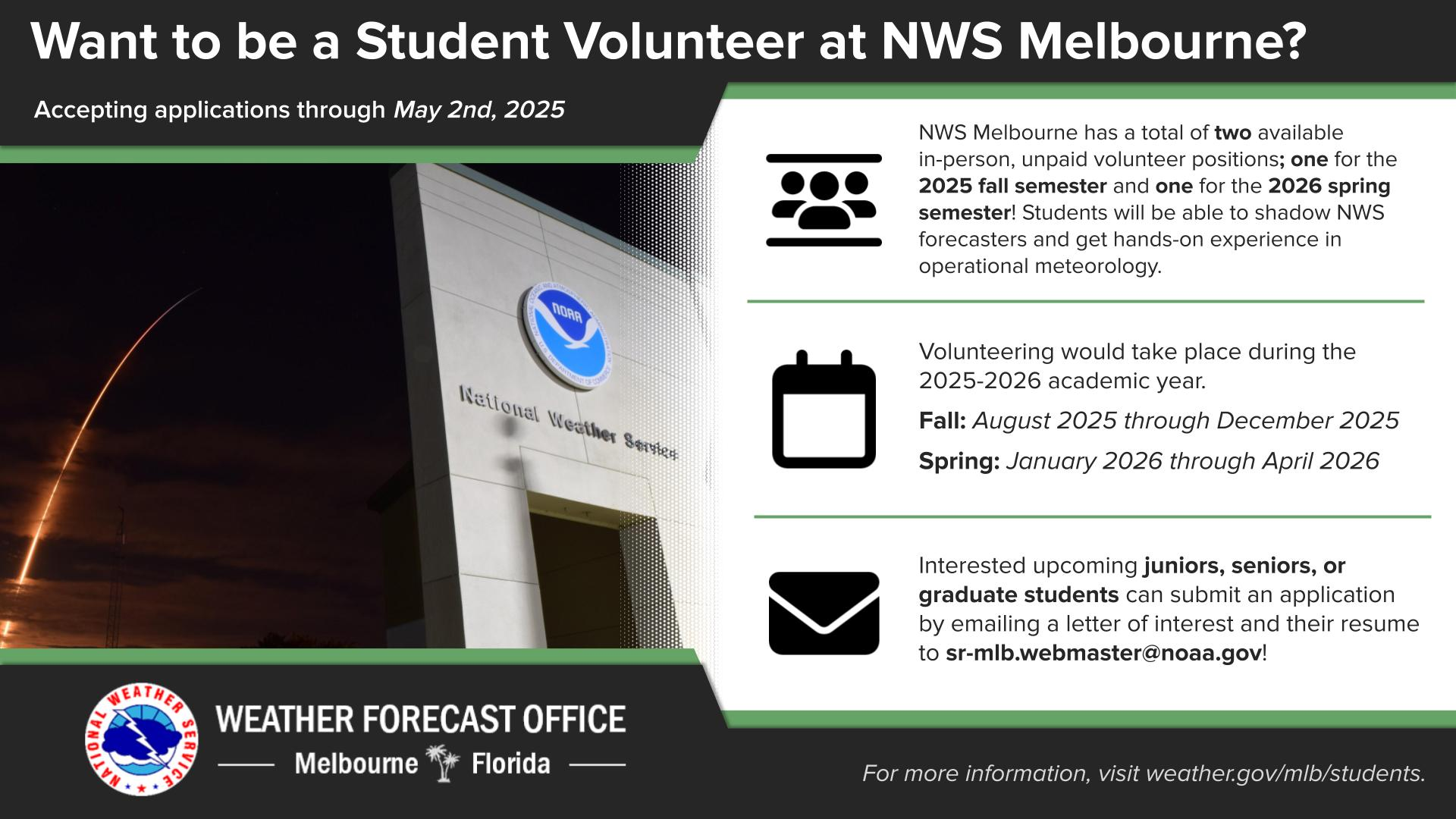
Are you a junior, senior, or graduate student with an interest in operational meteorology? NWS Melbourne has two volunteer positions available for the 2025-2026 academic year, one during the fall semester and one during the spring semester. Additional details are available at weather.gov/mlb/students.


 Interactive Radar
 Regional Satellite
 Severe Weather