National Weather Service United States Department of Commerce
Click a location below for detailed forecast.

Last Map Update: Wed, Jul 22, 2026 at 11:18:42 am EDT

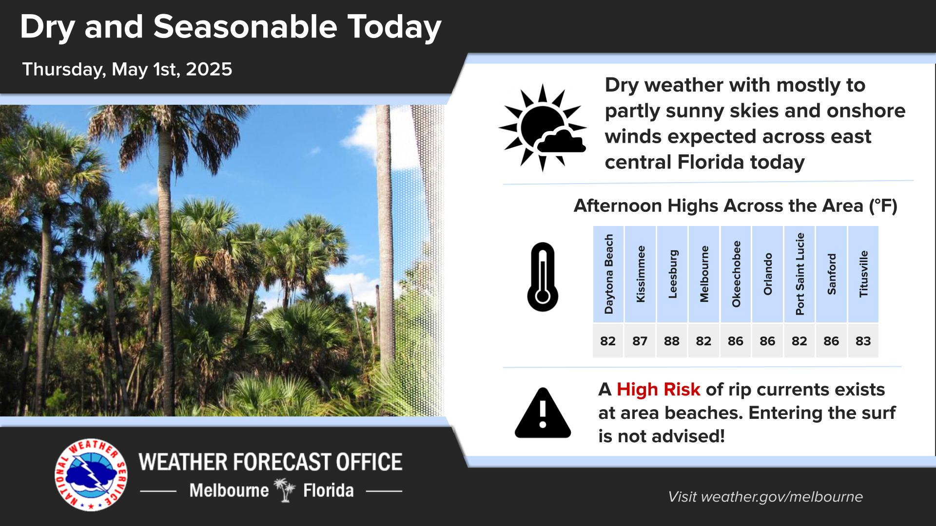
Click/tap image to enlarge | Warm & humid conditions with highs in the low to mid 90s, possible upper 90s north of I-4. Peak heat indices 100-107F. Lower than normal rain chances 20-40% - highest interior south of Orlando.
Click/tap image to enlarge | A Moderate Risk for strong rip currents exists at ALL central FL Atlc beaches today. Always swim near a life-guarded beach and never enter the surf alone.
Click/tap image to enlarge | Temperatures will trend hotter through this week and highs climb into the mid 90s, with increasing coverage of Moderate to Major HeatRisk anticipated areawide. Some spots of Extreme HeatRisk cannot be ruled out.
Click/tap image to enlarge | Tropical Storm Bertha is forecast to move westward over the northern Gulf coast this week. There are no impacts expected across east central Florida.
Click/tap image to enlarge | Florida Tropical Training Week! Register at https://www.weather.gov/jax/fttw2026
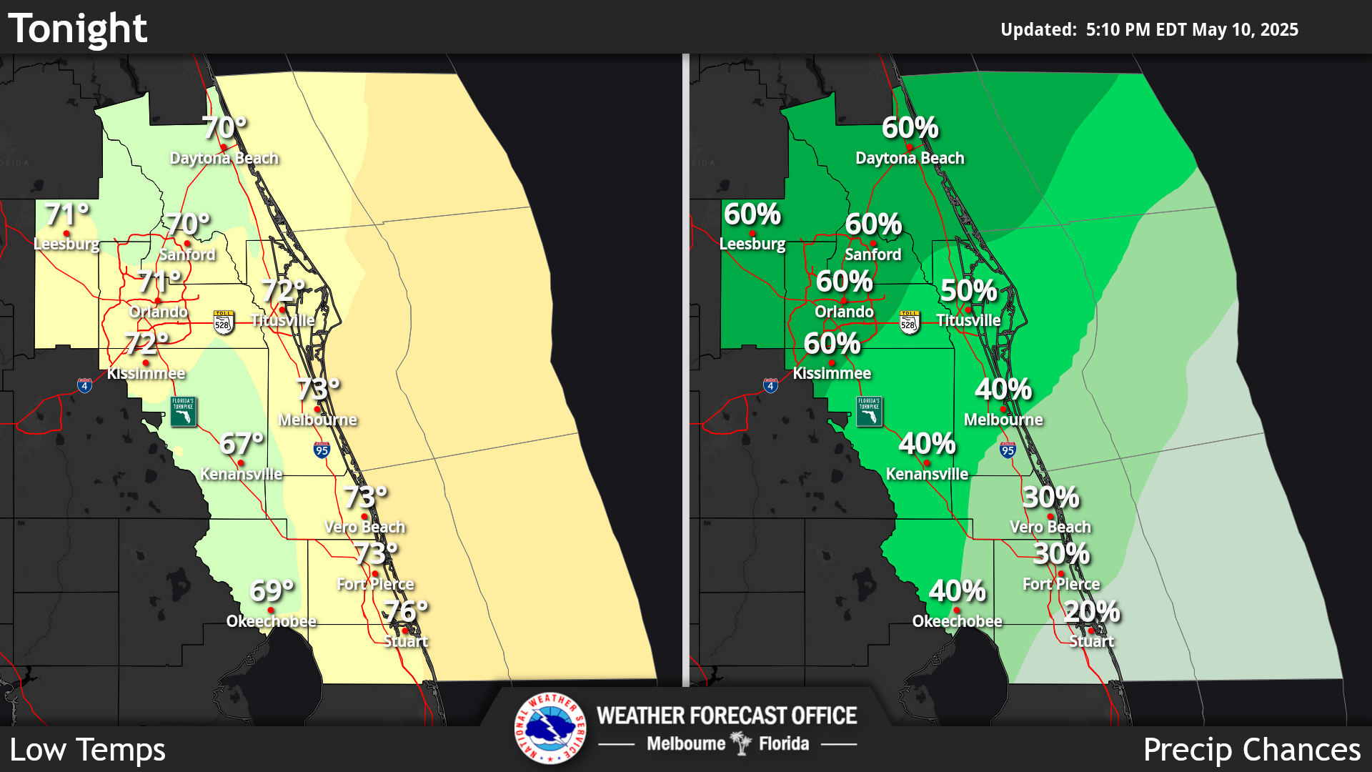
Click/tap image to enlarge | The latest forecast for East Central Florida.
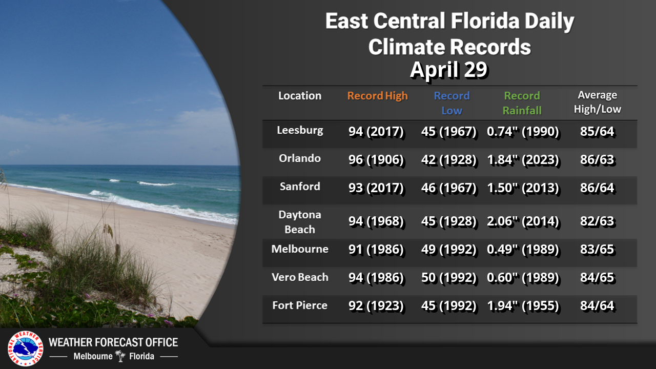
Climate information for today.

 
radar icon obs icon analysis icon hazards icon graphics icon text icon
Local Radar Observations Local Analysis Graphical Hazards Graphical Forecast Text Products
tropical icon beach icon climate icon report icon report icon
Storm Report


                                                                    Text Product Selector