Click/tap image to enlarge | Another round of showers and storms will push east across central Florida today, starting with morning showers developing into lightning storms this afternoon. Gusty winds up to 55 mph, frequent lightning and heavy rain will be the primary threats.
Click/tap image to enlarge | A Marginal risk of excessive rainfall exists today across all of east central Florida. While most areas will see rainfall amounts less than 1 inch, localized areas could see 2 to 4 inches where heavy rain persists. This will cause temporary flooding, especially in urbanized and low lying areas. Do not drive through flooded roadways.
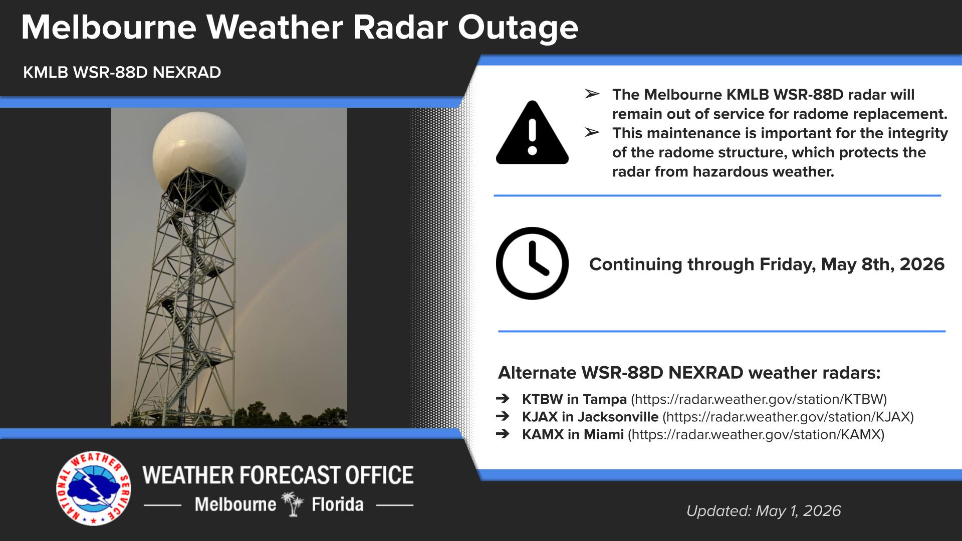


 Interactive Radar
 Regional Satellite
 Tropical Weather