There are no watches, warnings, or advisories at this time.
Today
5 Day Forecast
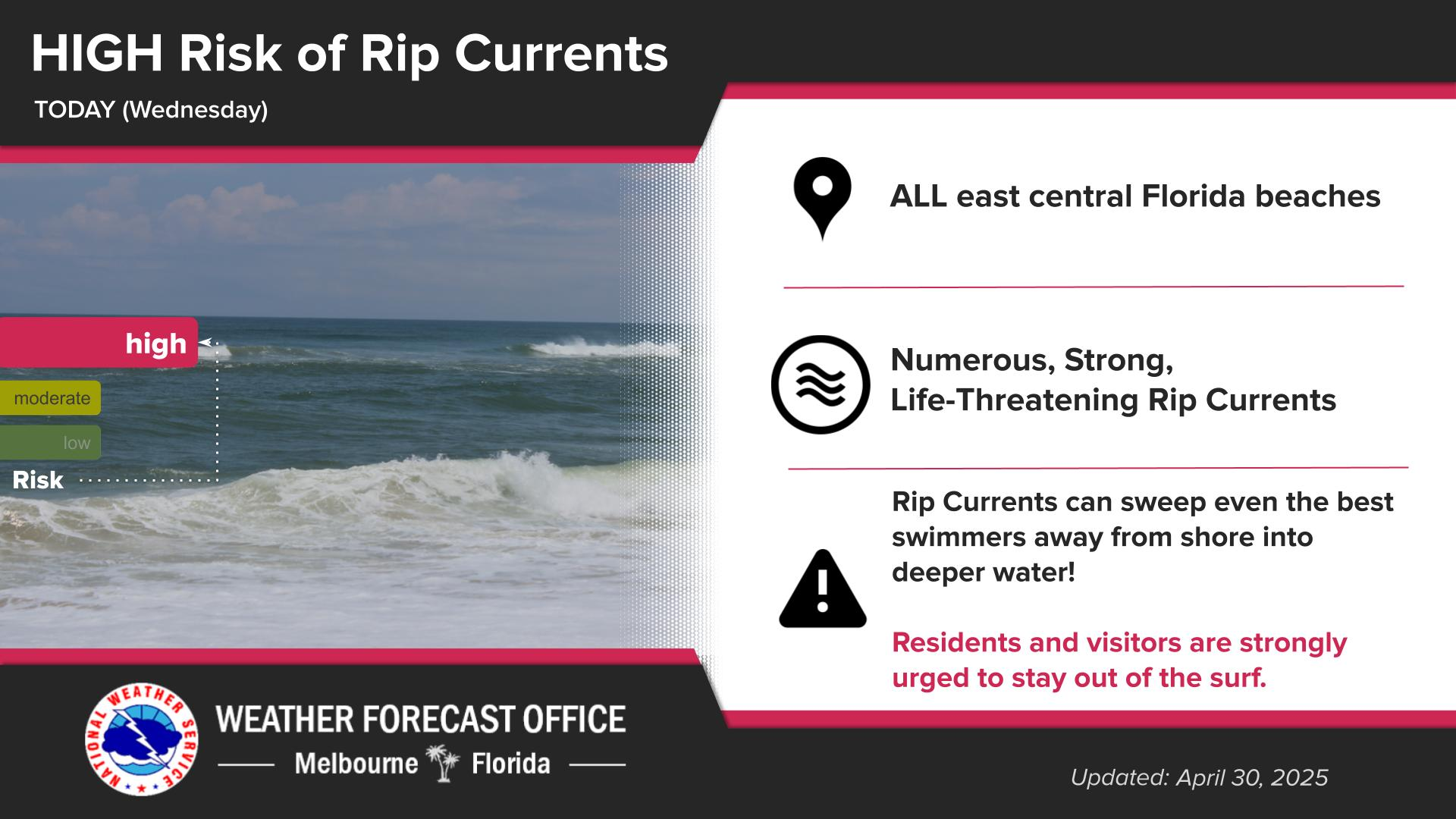
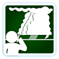
Rip Currents
Near Record Heat
HeatRisk
Forecast
Climate
Plenty of sunshine and dry conditions today. Temperatures will be hot across the interior with the east coast sea breeze keeping temperatures slightly cooler along the coast. There is a Moderate risk of rip currents at all area beaches.
Dry conditions will persist into early next week with plenty of sunshine. Temperatures will be hot across the interior with the east coast sea breeze keeping the temperatures slightly cooler along the coast each day. Near record highs are forecast across the interior this weekend and into early next week. A Moderate risk of rip currents will continue at area beaches through at least the weekend.
High pressure is expected to build over the southeastern US and the state of Florida on Friday into next week. Dry weather with above normal to record temperatures (~5-10°F+) are forecast on Friday into next week over east central Florida. Heat Index values in the 90s are forecast on Friday. Heat Index values in the the mid 90s to 102°F are forecast Saturday and in the mid 90s to 106°F Sunday into early next week. There is a Moderate HeatRisk each day with a Major Heat Risk for portions of the Orlando metro and Lake county on Monday and Tuesday. A Moderate HeatRisk affects most people sensitive to heat, especially those without effective cooling and/or adequate hydration and a Major HeatRisk affects anyone without effective cooling and/or adequate hydration.
There is a Minor to Moderate HeatRisk today and there is a Moderate HeatRisk each day thereafter with a Major HeatRisk across portions of the Orlando metro on Monday. A Moderate HeatRisk affects most people sensitive to heat, especially those without effective cooling and/or adequate hydration. A Major HeatRisk affects anyone without effective cooling and/or adequate hydration.


 Interactive Radar
 Regional Satellite
 Severe Weather