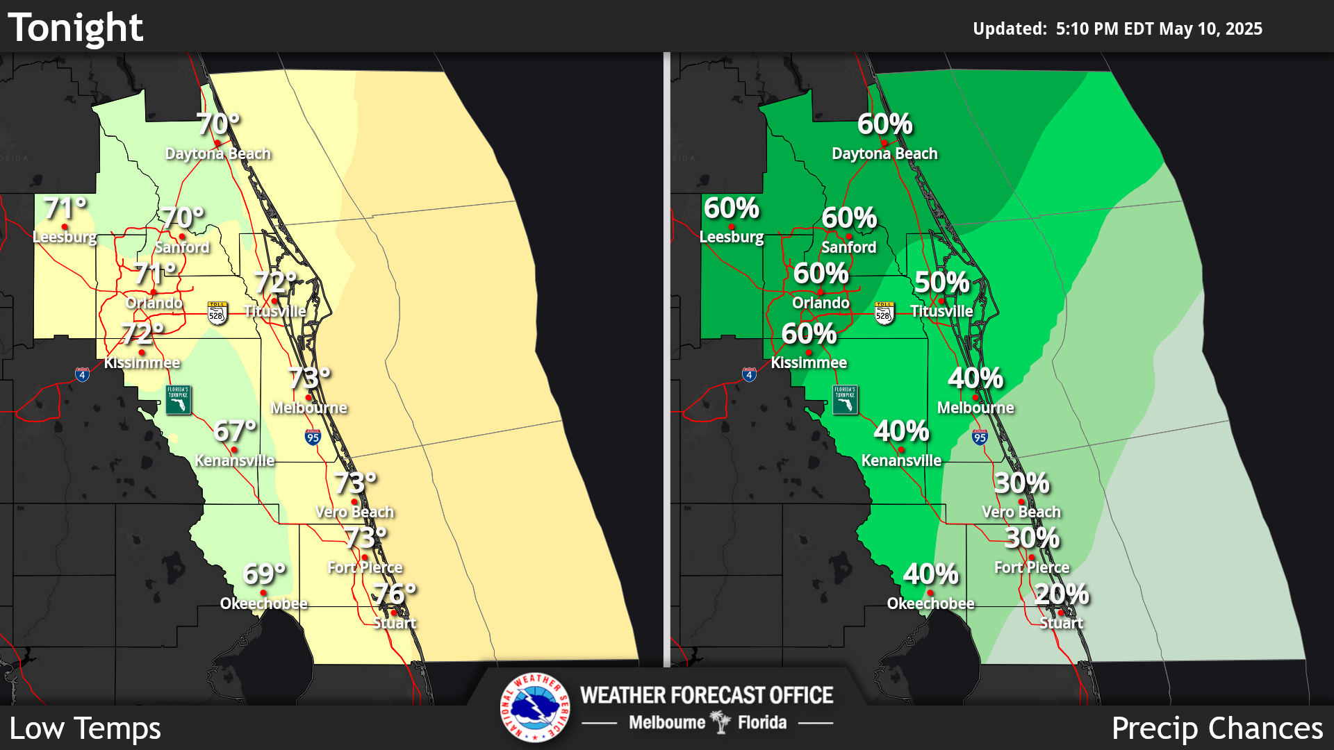
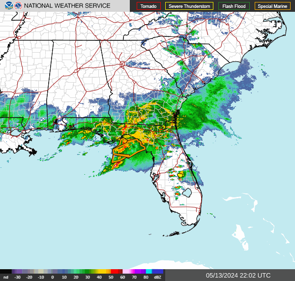
Click/tap image to enlarge | Deep moisture persists as a frontal boundary stalls over central FL. This will favor multiple rounds of showers and a few storms today, especially in the afternoon and evening. Heavy rainfall may lead to ponding of water on roadways and minor flooding.
Click/tap image to enlarge | Increasing winds and building seas will produce hazardous boating conditions across portions of the local Atlantic waters tonight through early Thursday.
Click/tap image to enlarge | A tropical disturbance has a High (80%) chance of development over the southwestern Gulf of America within the next 2 days.















 Interactive Radar
 Regional Satellite
 Tropical Weather
 Follow us on X
 Follow us on Facebook
 MLB RSS Feed