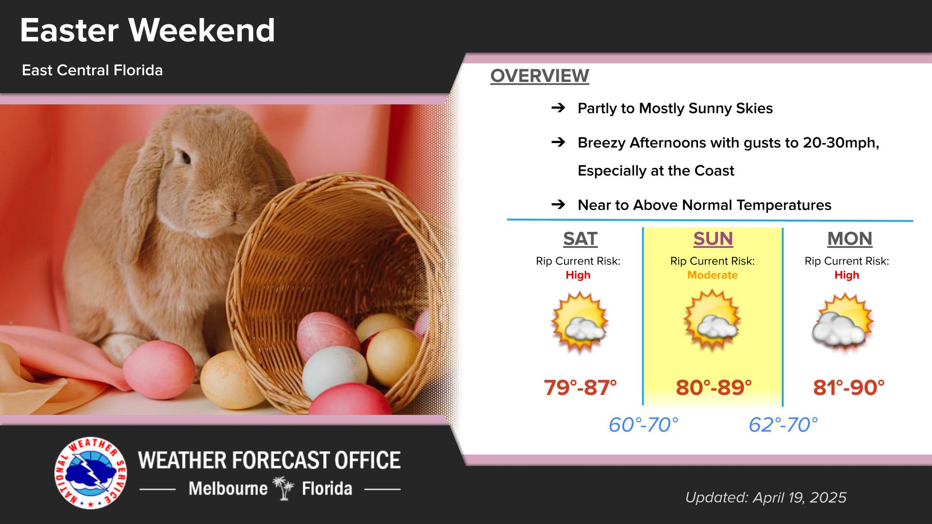
Click/tap image to enlarge | There is a high risk of rip currents at Volusia beaches today. A Moderate risk exists elsewhere. Heed the advice of lifeguards, beach patrol flags and signs.
Click/tap image to enlarge | Hurricane Isaias in the Gulf continues to strengthen as it moves northeastward before turning to the north. The storm and significant primary impacts are expected to stay well west of East Central Florida.

















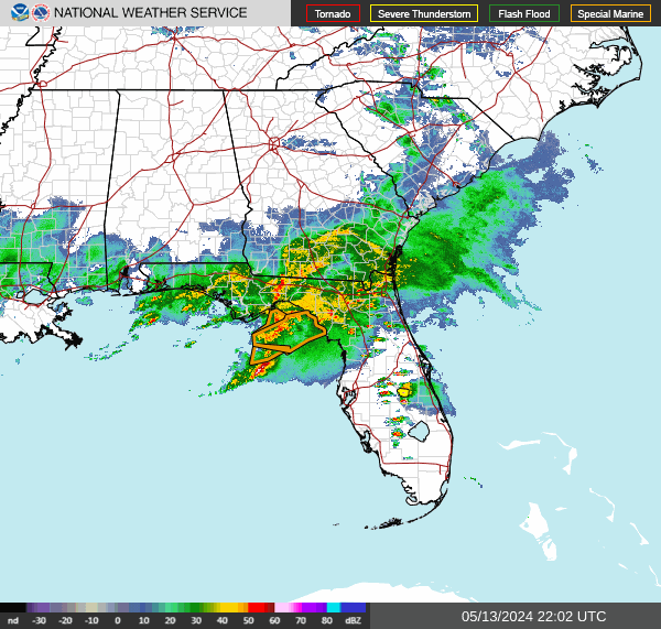 Interactive Radar
 Regional Satellite
 Tropical Weather
 Follow us on X
 Follow us on Facebook
 MLB RSS Feed