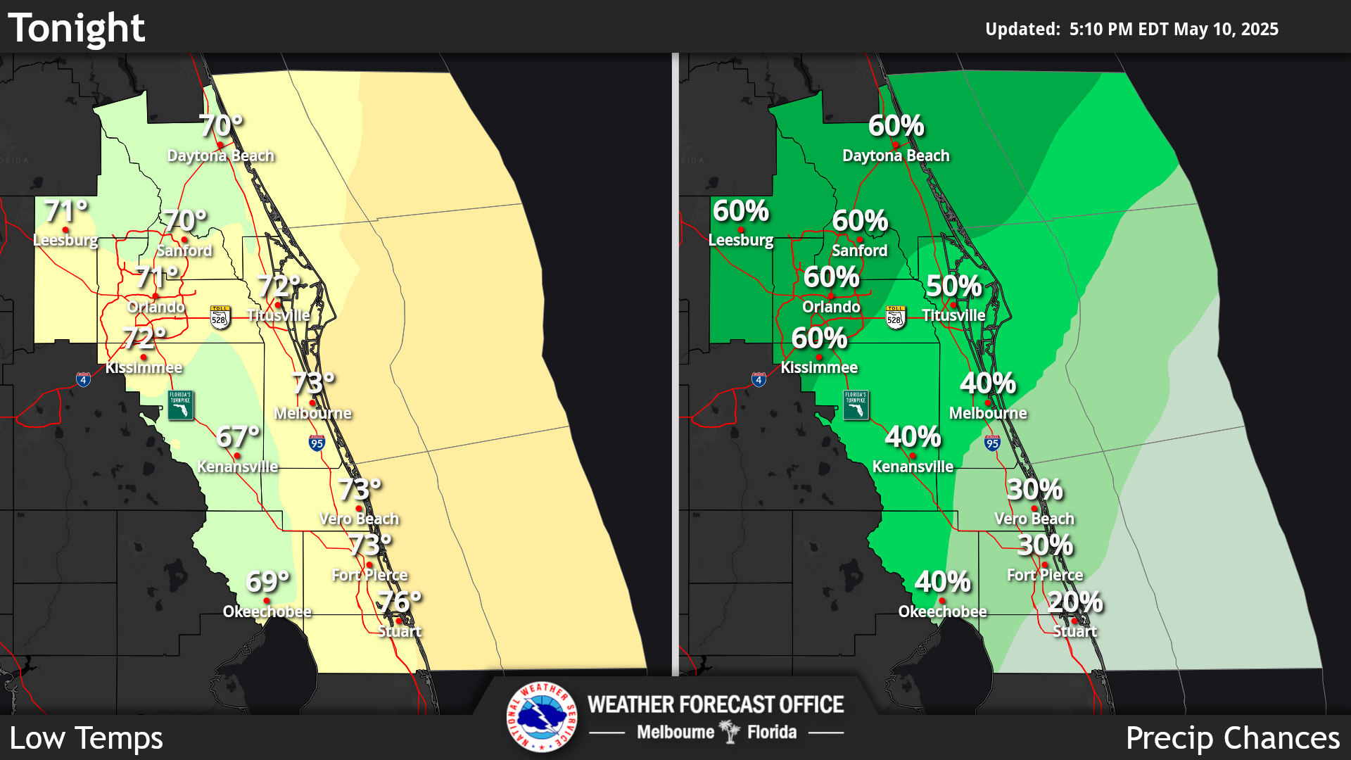
Click/tap image to enlarge | Isolated showers and storms pushing onshore along the coast will continue to be possible this morning, but greatest rain chances will be into the afternoon as scattered to numerous showers and storms develop with the inland moving sea breeze. Isolated strong storms will be possible, producing frequent lightning strikes, strong gusts to 40-50 mph and locally heavy rainfall of 1-3 inches. Temperatures will remain seasonably warm, with a Moderate Risk for rip currents persisting at area beaches.
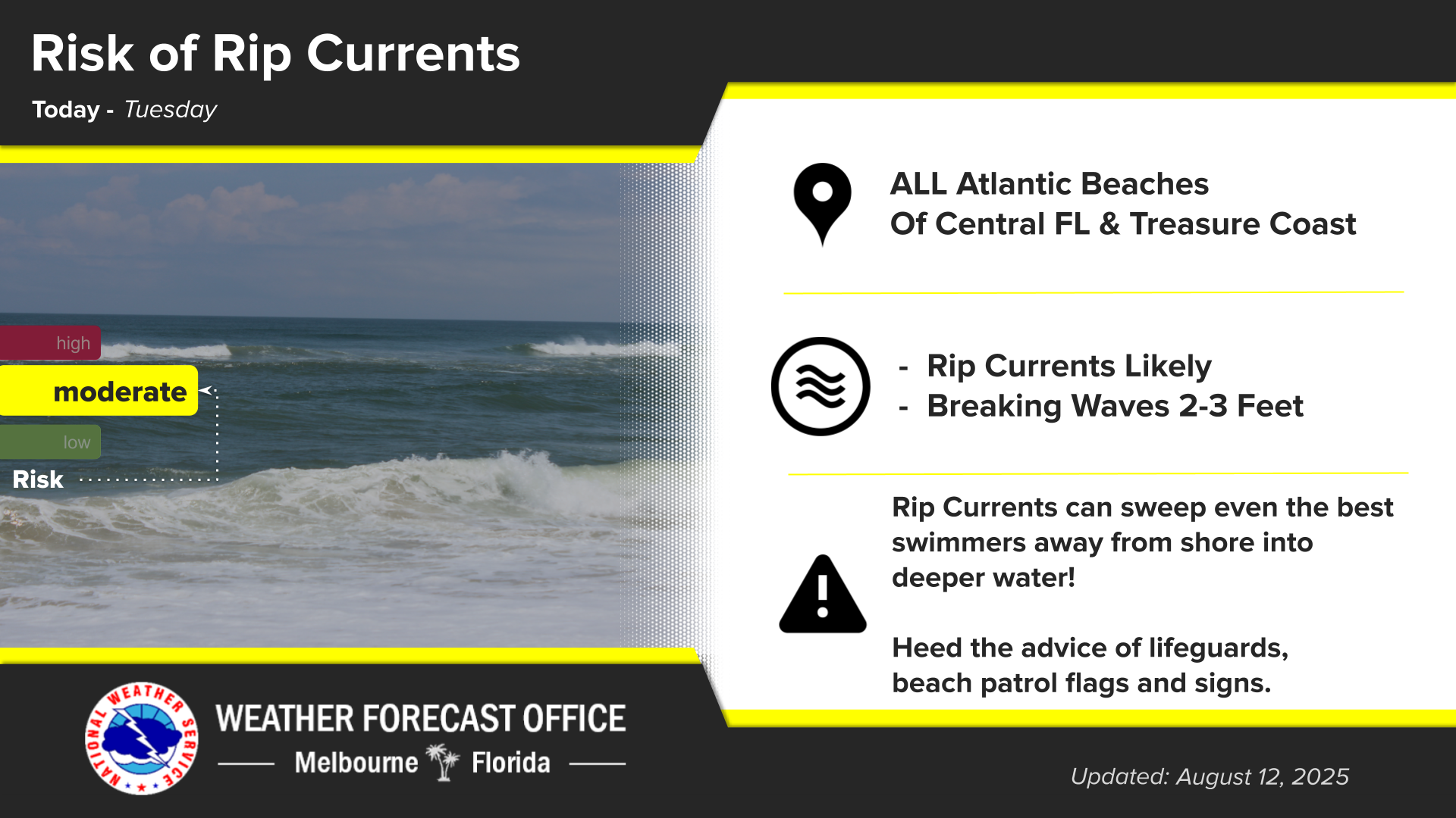
Click/tap image to enlarge | There is a Moderate risk of rip currents at all east central Florida beaches today. Always swim near a lifeguard, and never enter the water alone.
Click/tap image to enlarge | Rain chances are forecast to remain near to above normal today and into this week, with scattered to numerous showers and lightning storms forecast each day. The potential for isolated strong storms exists each afternoon and evening. Seasonable high temperatures are forecast over the next several days.

















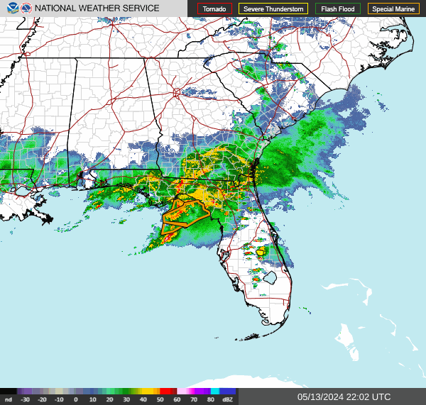 Interactive Radar
 Regional Satellite
 Tropical Weather
 Follow us on X
 Follow us on Facebook
 MLB RSS Feed