Click/tap image to enlarge | Lingering showers and storms will diminish through sunset. Additional showers and storms will be possible tonight, mainly across the north after midnight. Otherwise, mostly dry with a light southwesterly breeze.
Click/tap image to enlarge | A Moderate Risk for strong rip currents exists at all central Florida Atlantic beaches today. Always swim near a lifeguard and never enter the surf alone.
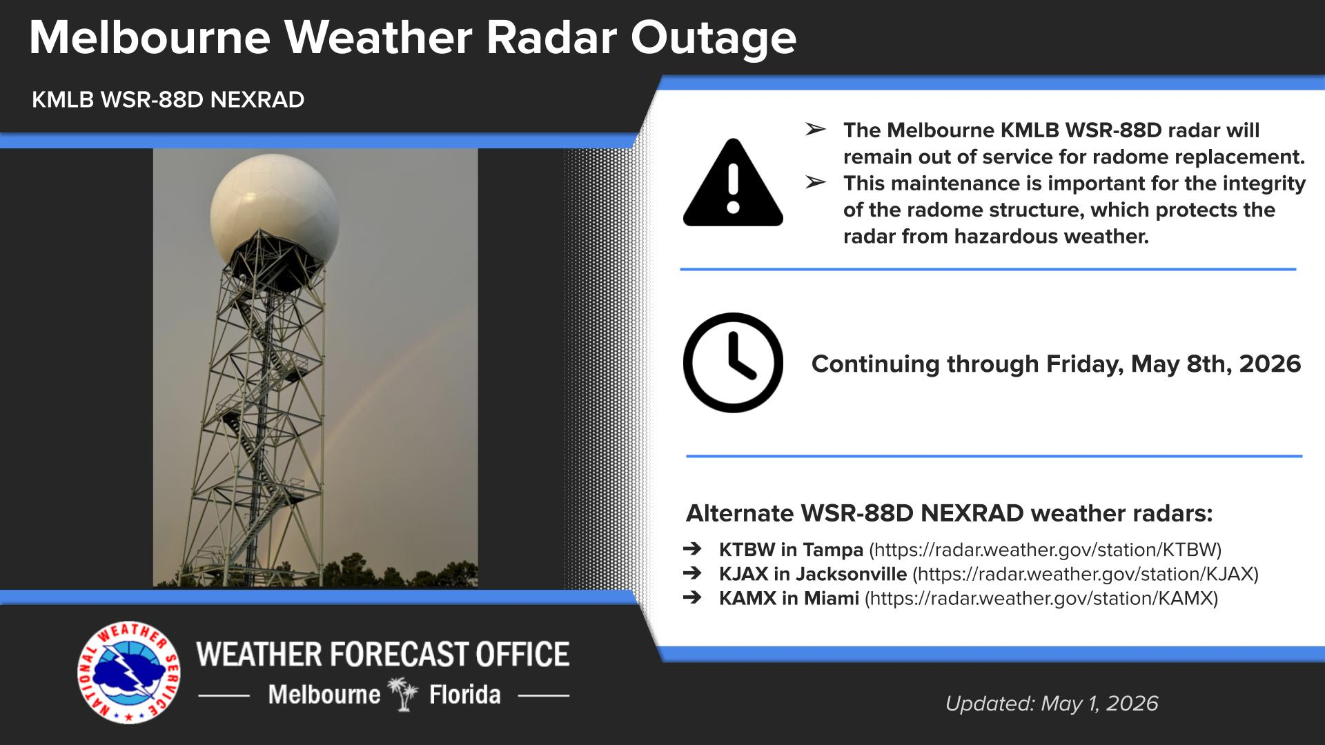


 Interactive Radar
 Regional Satellite
 Tropical Weather