
A strong earthquake in the Pacific Basin has generated a tsunami wave. Tsunami Warnings and Advisories have been issued for Hawaii, portions of Alaska, Guam, American Samoa, and the West Coast of the U.S. Read More >
![]()
Detailed aviation weather information and forecasts can be found at the Aviation Weather Center: https://www.aviationweather.gov
Pilot Weather Briefings call 1-800-992-7433
|
|
| Click on images to enlarge them |
Elk Mountain Pass

County Road 402 | West
MM 262 |

County Road 402 | East
6.4 miles east of Elk Mountain |

County Road 402
Road Surface |
Powder River Pass

Big Horn County Line | West
MM 44.01 |

Big Horn County Line | East
16 miles east of Tensleep |

Big Horn County Line
Road Surface |
South Pass

South Pass | West
MM 41.4 |

South Pass | East
26.8 miles south of the WYO 28/789 Junction |

Louis Lake | Parking Lot
23.2 miles south of the WYO 28/789 Junction |

Louis Lake | West
MM 45 |

Louis Lake | East
23.2 miles south of the WYO 28/789 Junction |

Louis Lake
Road Surface |
Teton Pass

Teton Pass | East
MM 11.2 |

Teton Pass | West
8.8 miles west of Jackson |

Teton Pass
View of Jackson Hole Valley |

Teton Pass
View of Glory Peak |
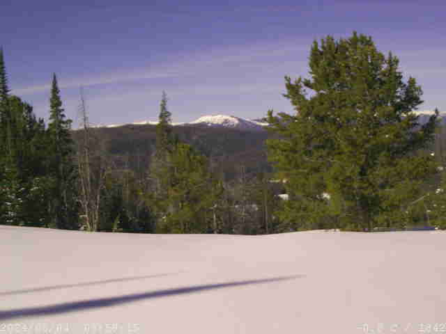
Togwotee Pass

Wind River Lake | West
MM 26.05 |

Wind River Lake | East
0.7 miles east of Teton / Fremont County Line |

Wind River Lake | South View
|

Wind River Lake
Road Surface |
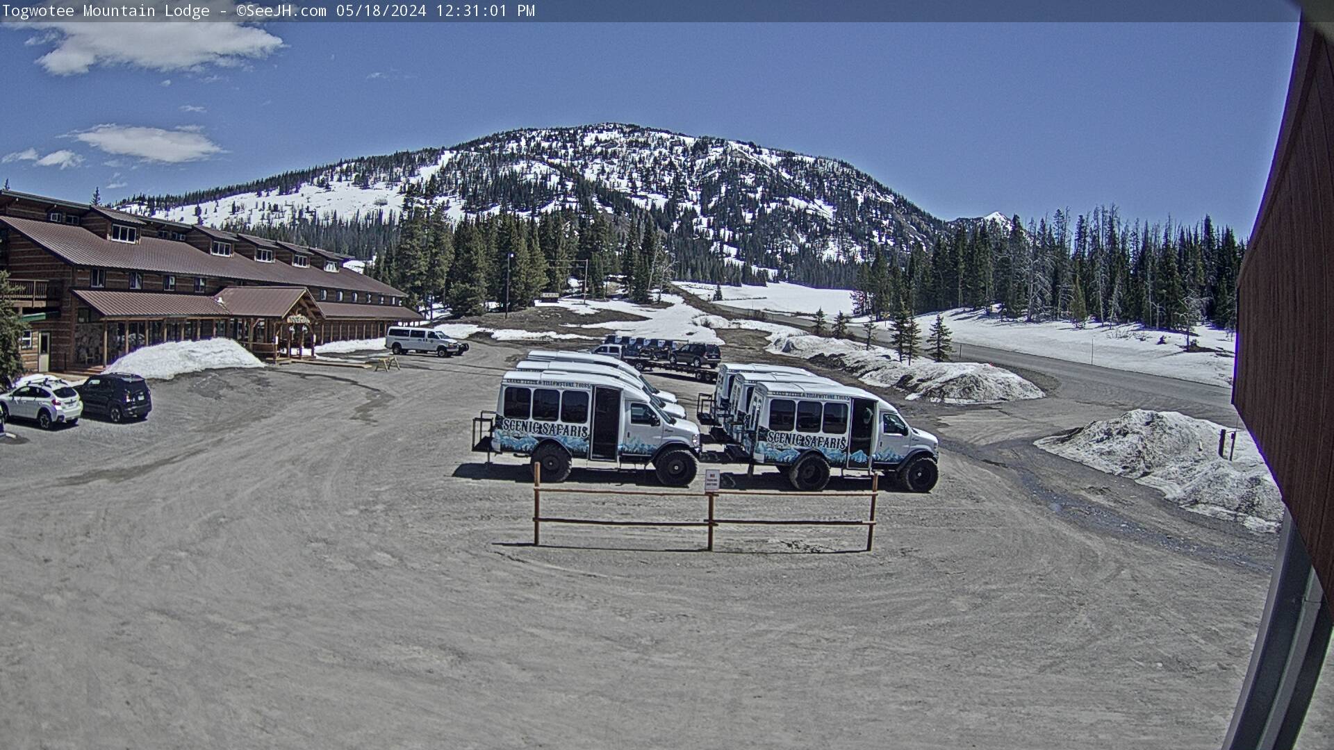
Togwotee Mountain Lodge
west side of Togwotee Pass |
Togwotee Mountain Lodge |>>Loop
Elev. 9150 feet |
Lava Mountain | >>Loop
Elev. 10,430 feet | Togwotee Pass |

Mount Moran
Moran (Luton's Teton Cabins) |
Airports
|
Cody Airport
|
Jackson Hole Airport
Parking Lot |

Cheyenne Airport
|
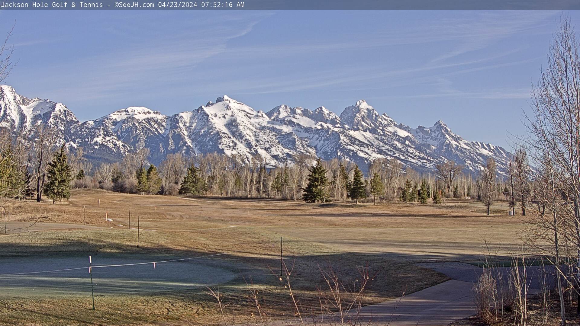
Jackson Hole Golf and Tennis Club
|

