
Much higher than typical October temperatures will continue across coastal southern California up through the Bay Area and Central Valley through midweek resulting in result in Major to Extreme HeatRisk. A tropical depression is likely to form over the Gulf of America during the middle part of this week with further strengthening possible as it moves northeastward later this week. Read More >
Quick Links
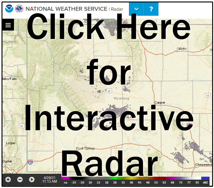
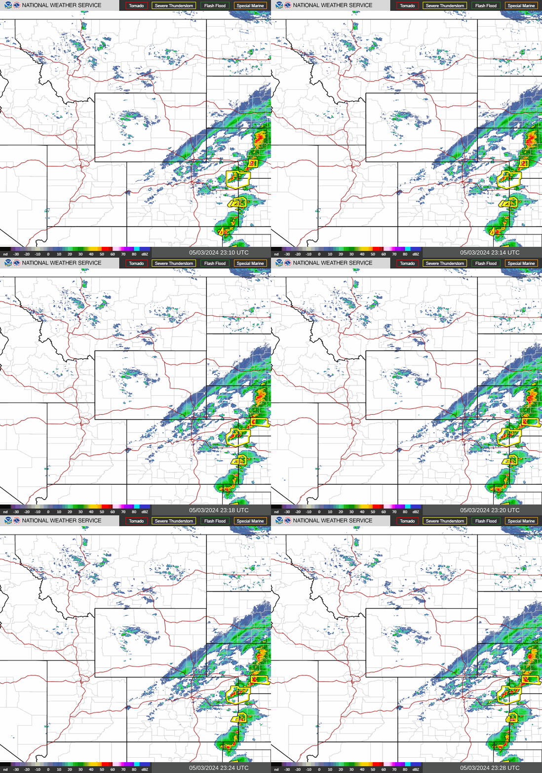
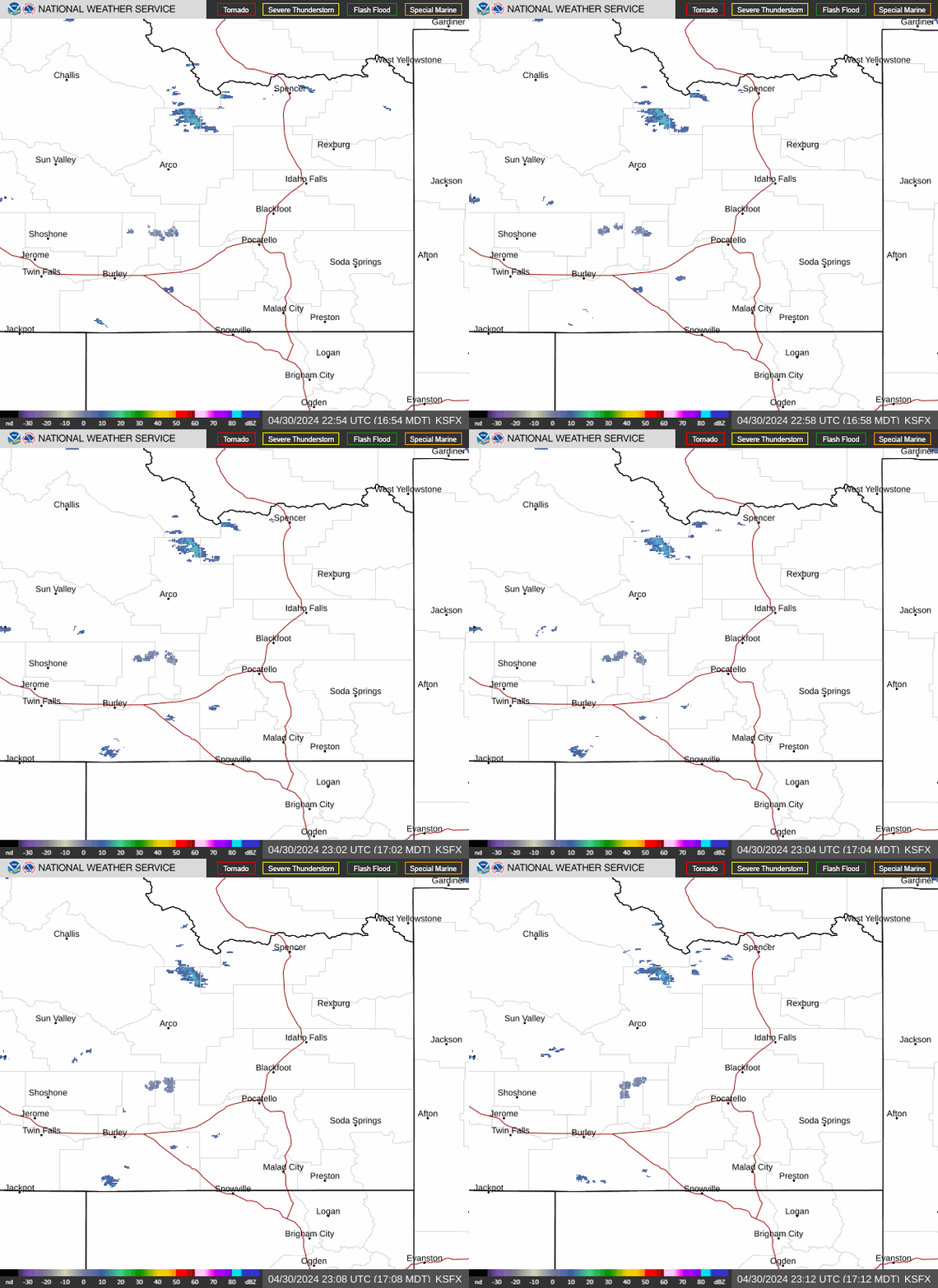
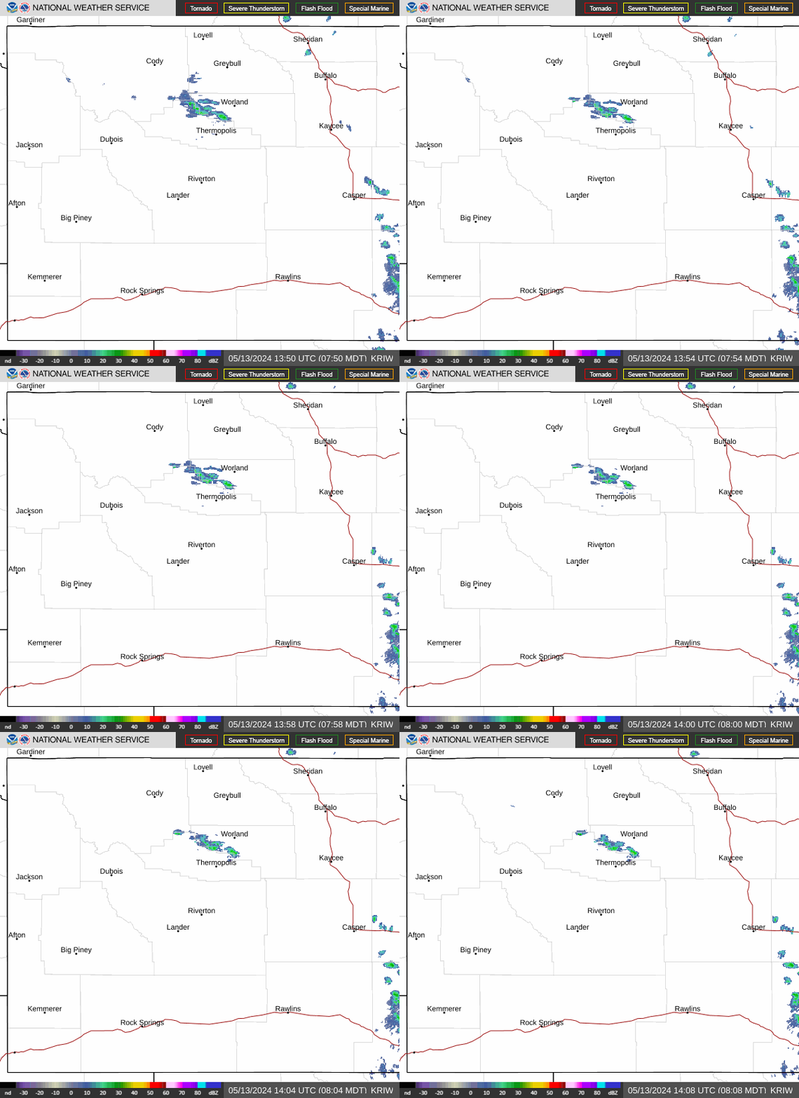
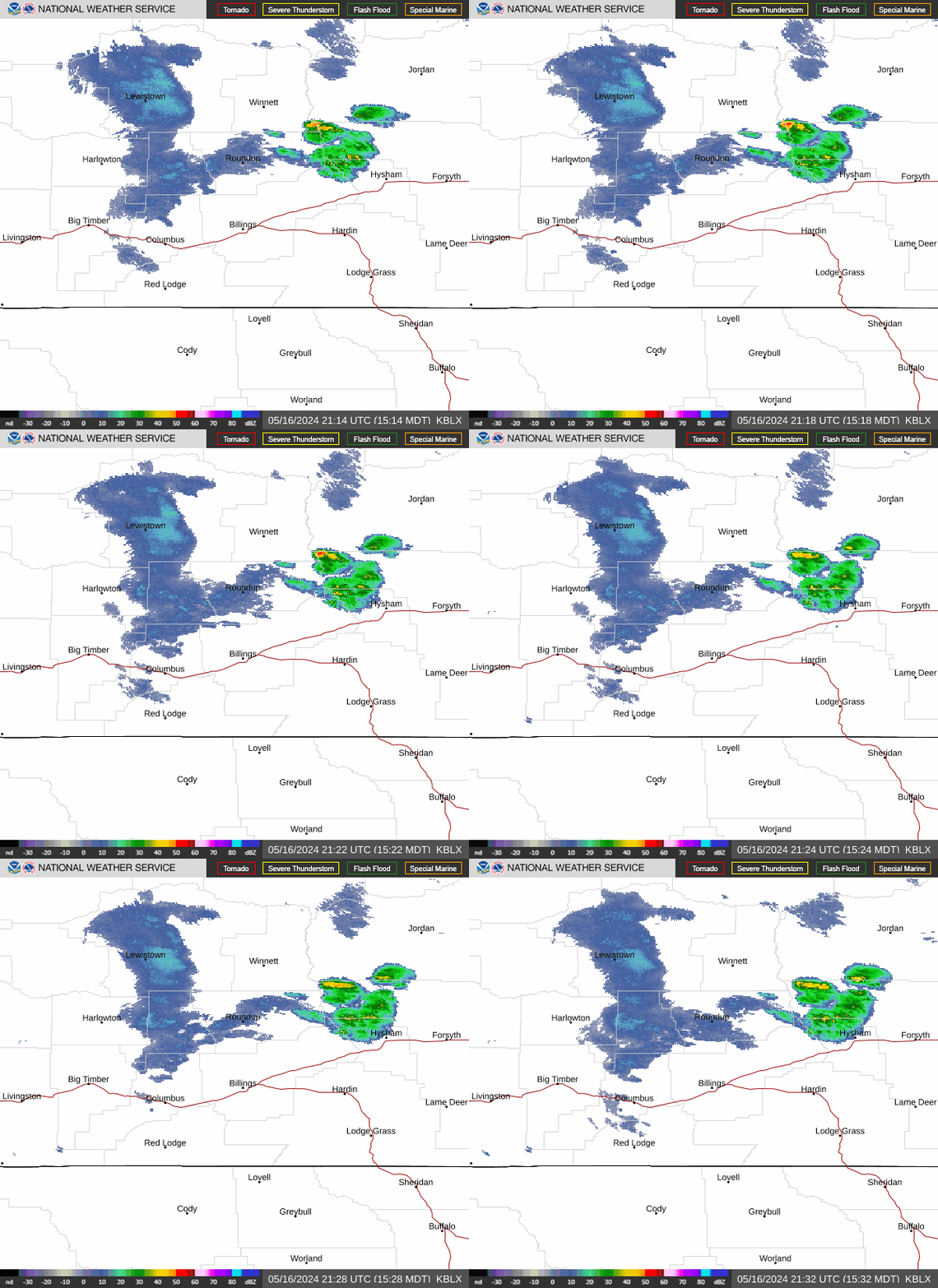
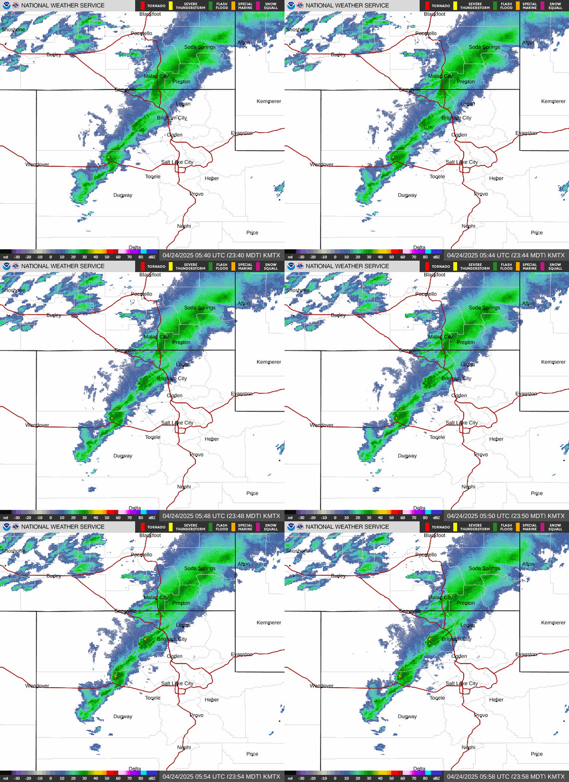
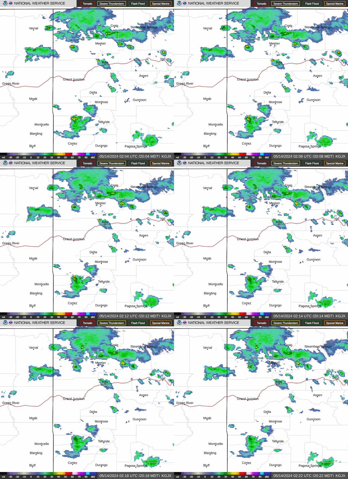
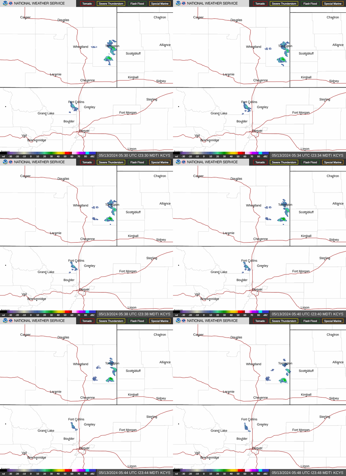
Regional Radar
|
|
|
|
 |
 |
 |
|
|
|
|
 |
 |
 |
Forecast Images
Click on image to enlarge
|
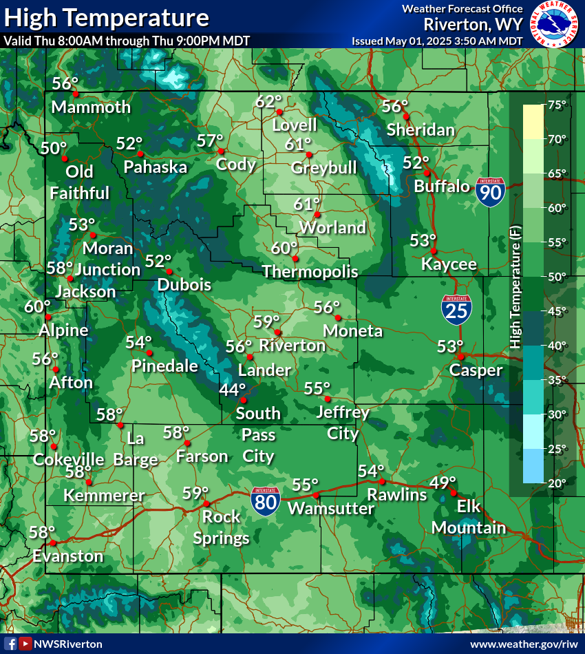
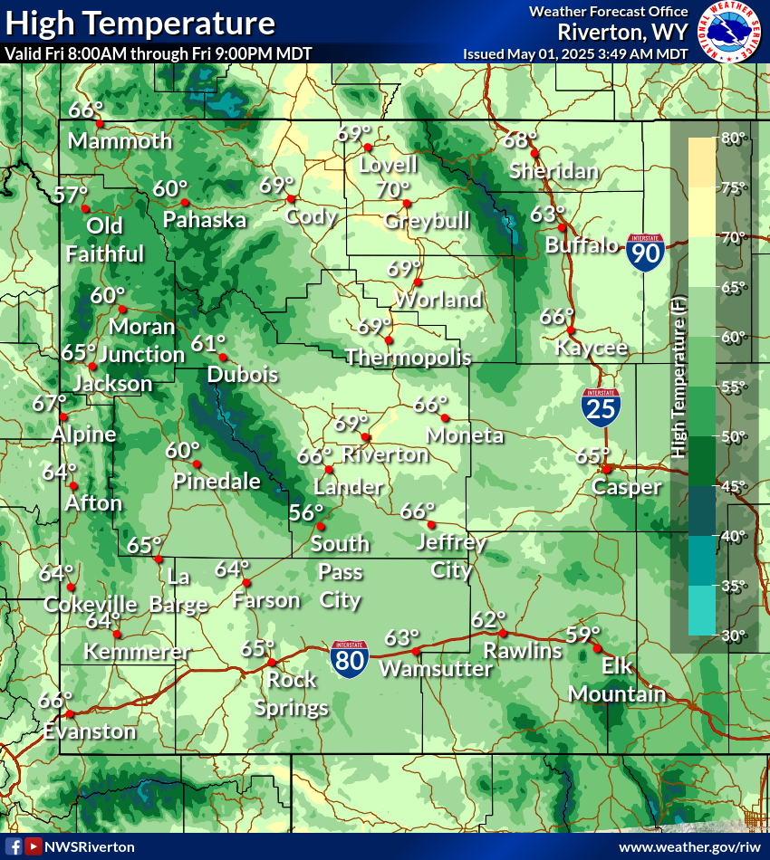
Today's High Temp
|
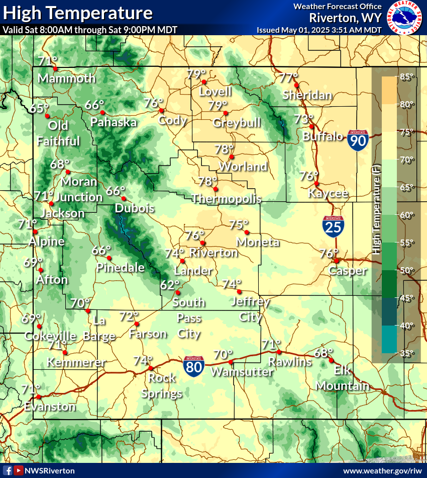
Tomorrow's High Temp
|
Day 3 High Temp
|
|
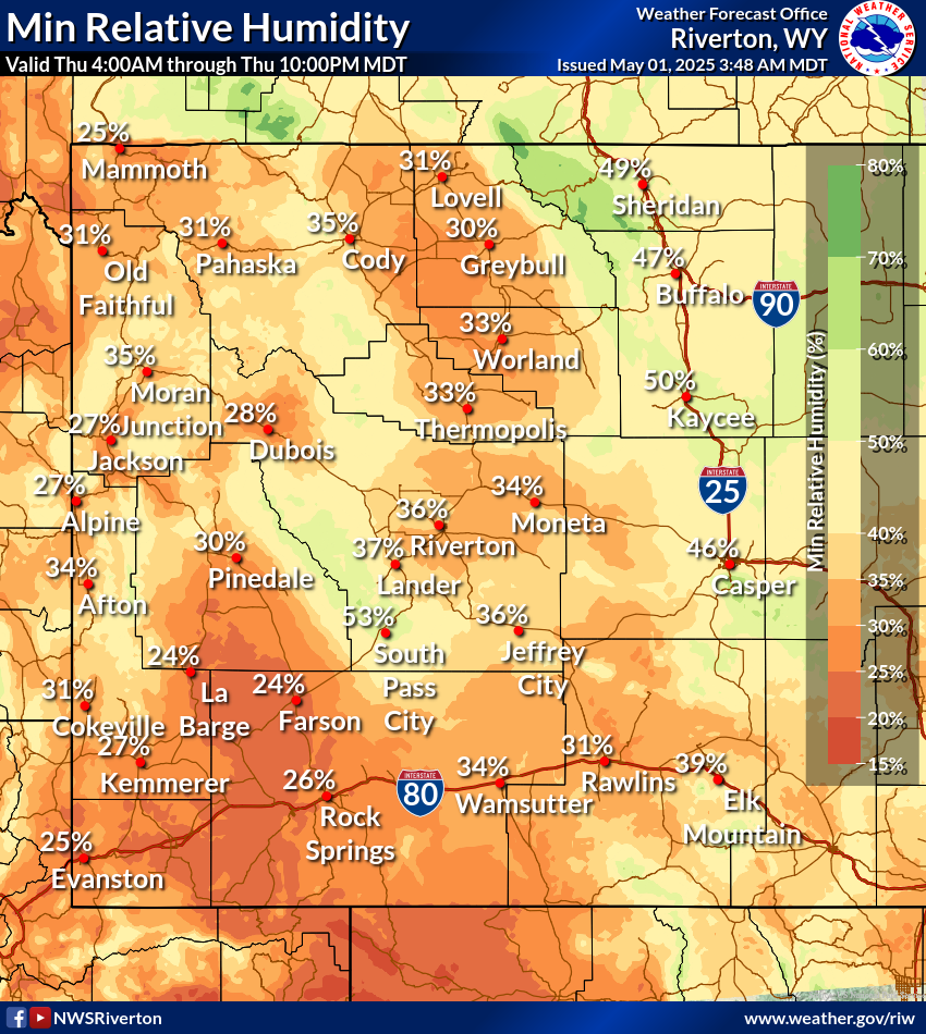
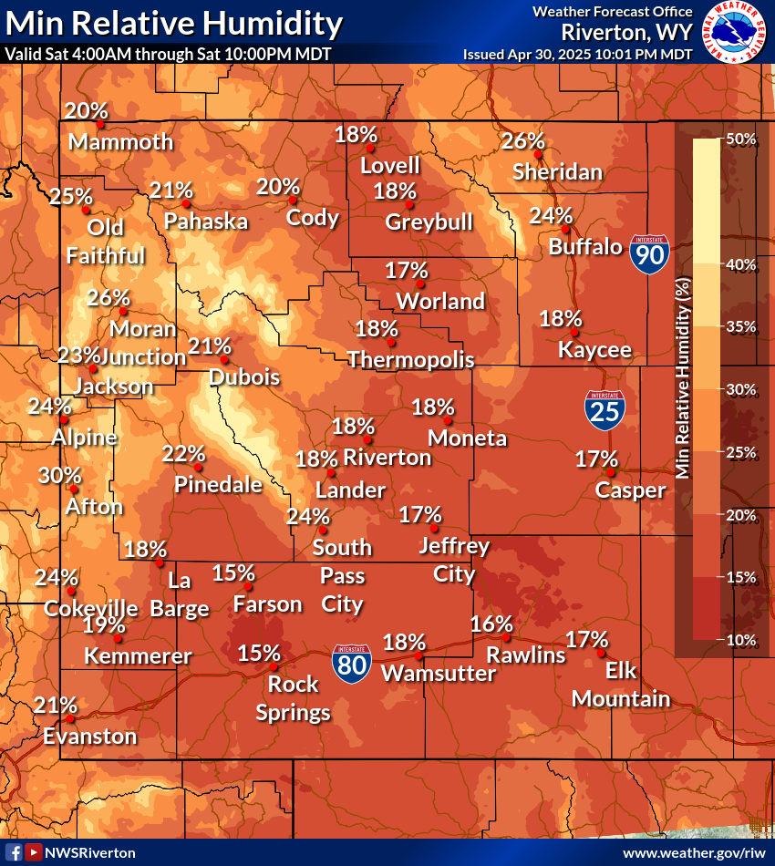
Today's Minimum RH
|
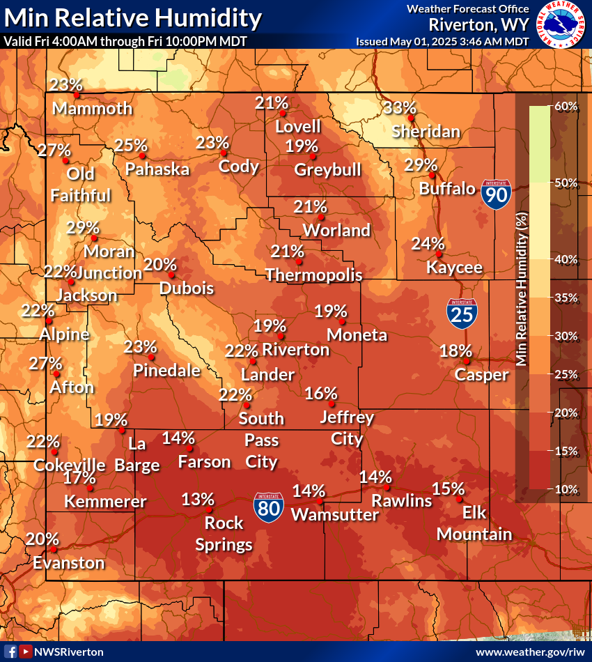
Tomorrow's Minimum RH
|
Day 3 Minimum RH
|
|
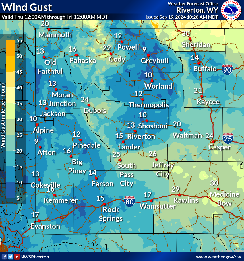
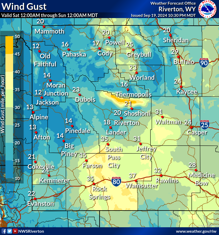
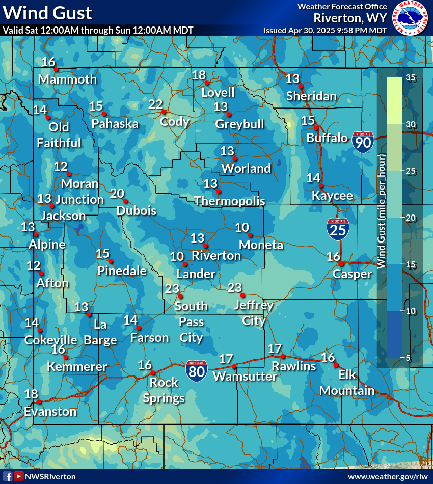
Today's Peak Wind Gusts
|
Tomorrow's Peak Wind Gusts
|
Day 3 Peak Wind Gusts
|
|
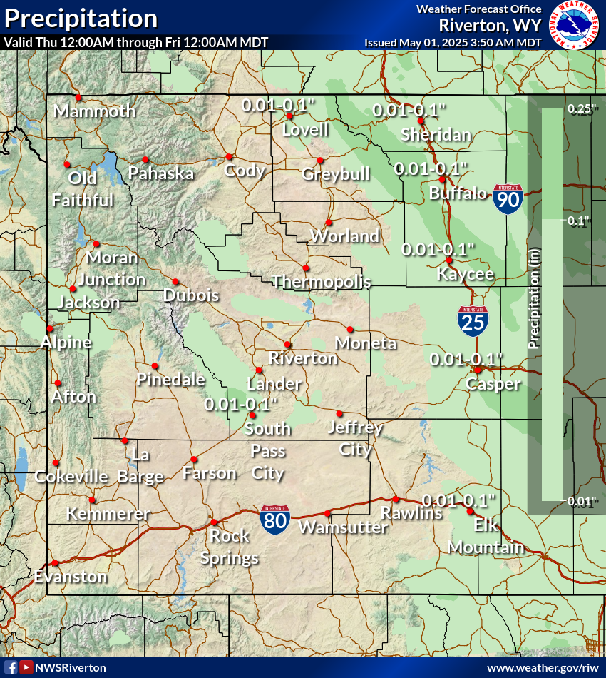
Today's Precipitation
|
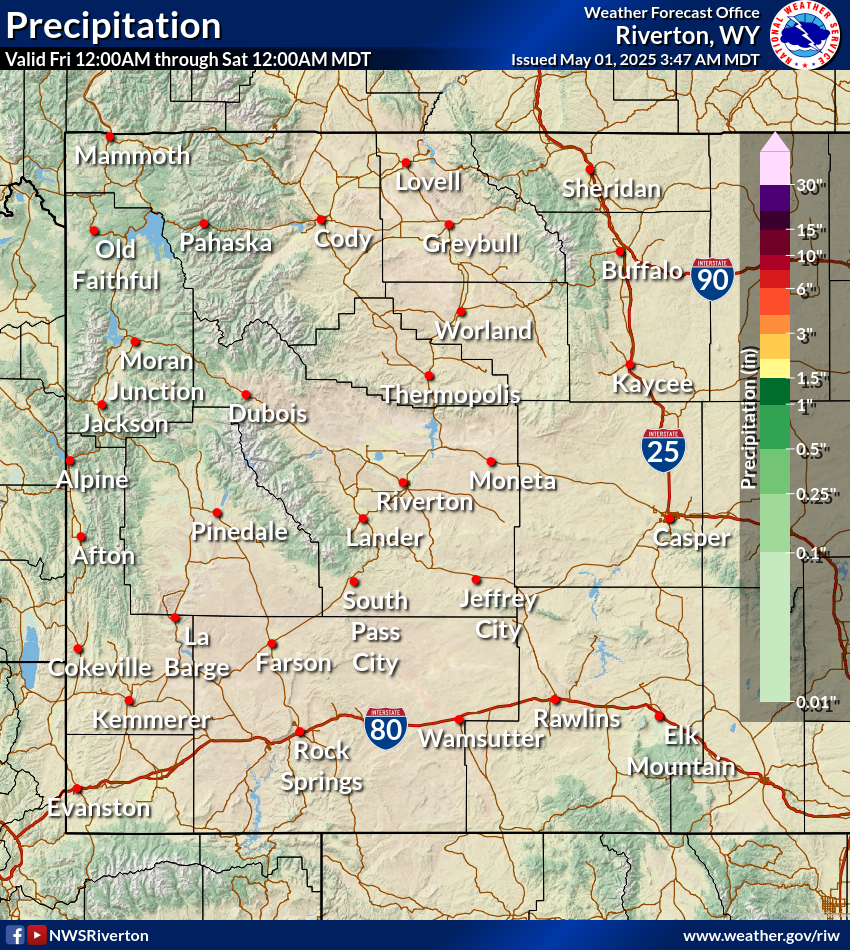
Tomorrow's Precipitation
|
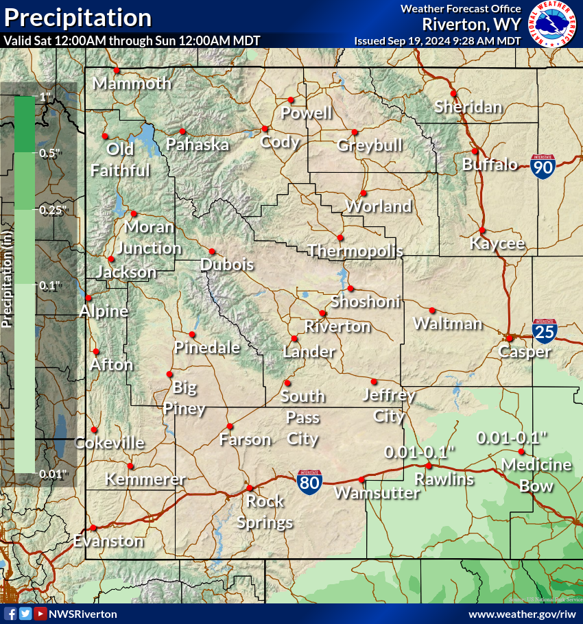
Day 3 Precipitation
|
Fire Weather and Thunderstorm Outlook
Click on image to enlarge. Maps from the Storm Prediction Center. For more details, visit spc.noaa.gov
|
Today's Fire Weather Outlook
|
Tomorrow's Fire Weather Outlook
|
Day 3 Fire Weather Outlook
|
|
Today's Thunderstorm Outlook
|
Tomorrow's Thunderstorm Outlook
|
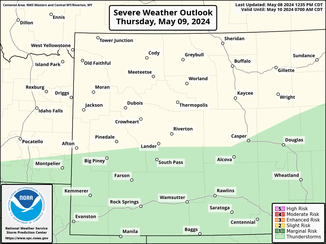
Day 3 Thunderstorm Outlook
|
Precipitation Trends - Percent of Normal
Click on image to enlarge
|
7 Days
|
14 Days
|
30 Days
|
90 Days
|
12 Months
|
Temperature Trends - Departure from Normal
Click on image to enlarge
|
7 Days
|
14 Days
|
30 Days
|
90 Days
|
12 Months
|
Above maps from the High Plains Regional Climate Center (HPRCC). For more maps click here.
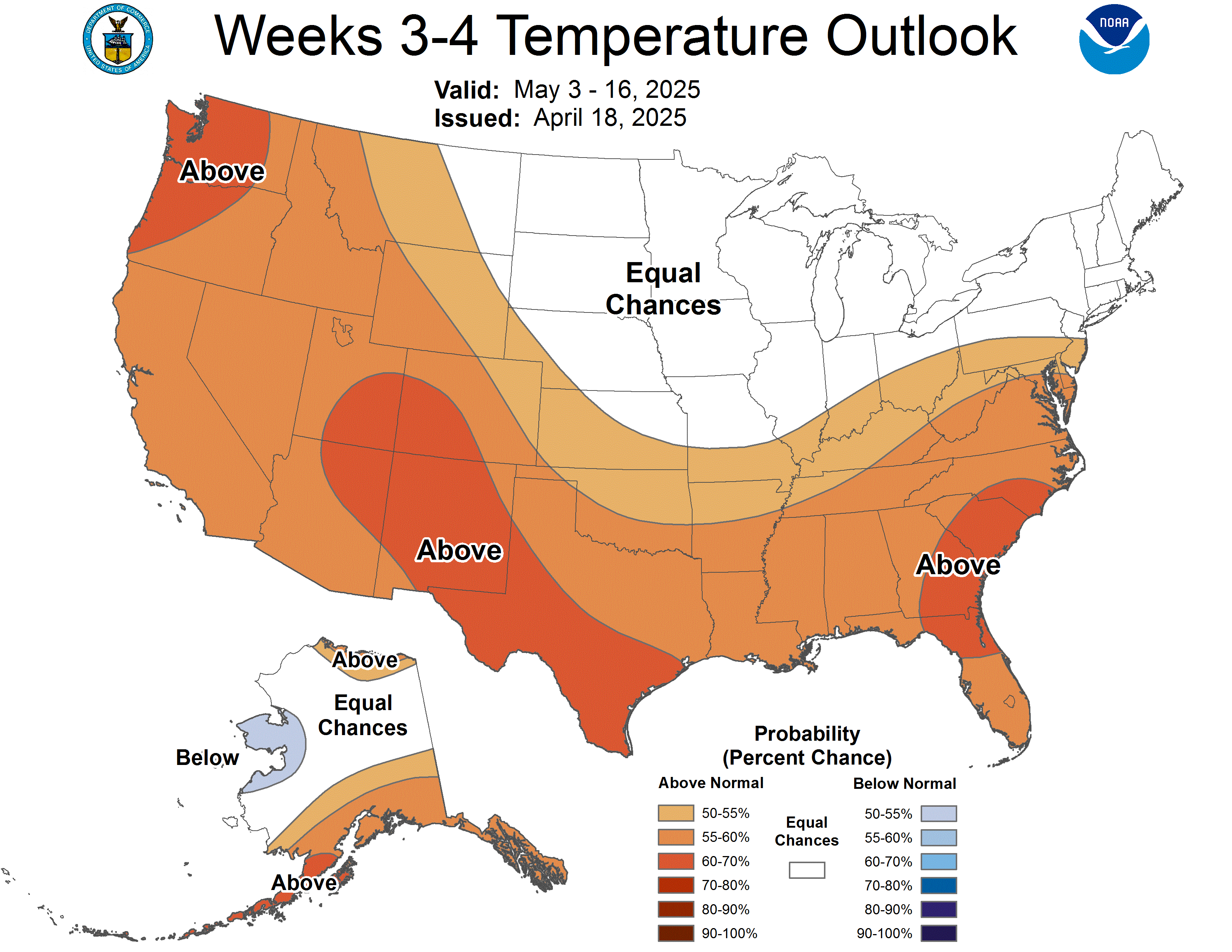
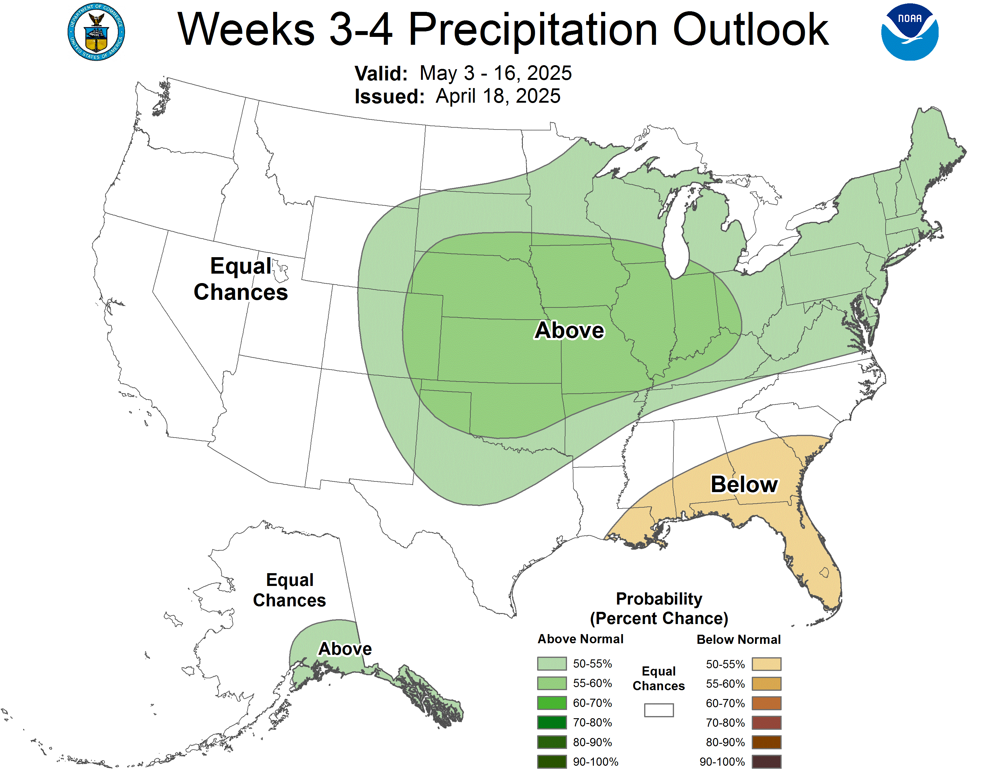
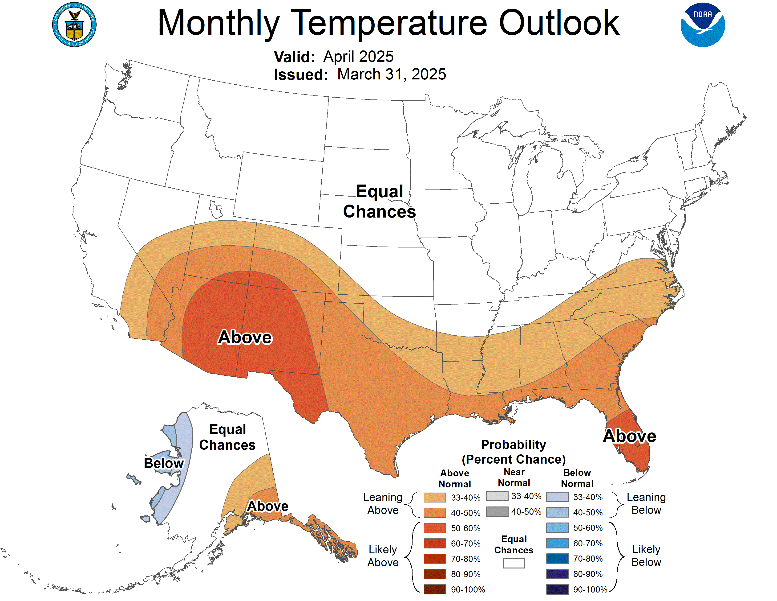
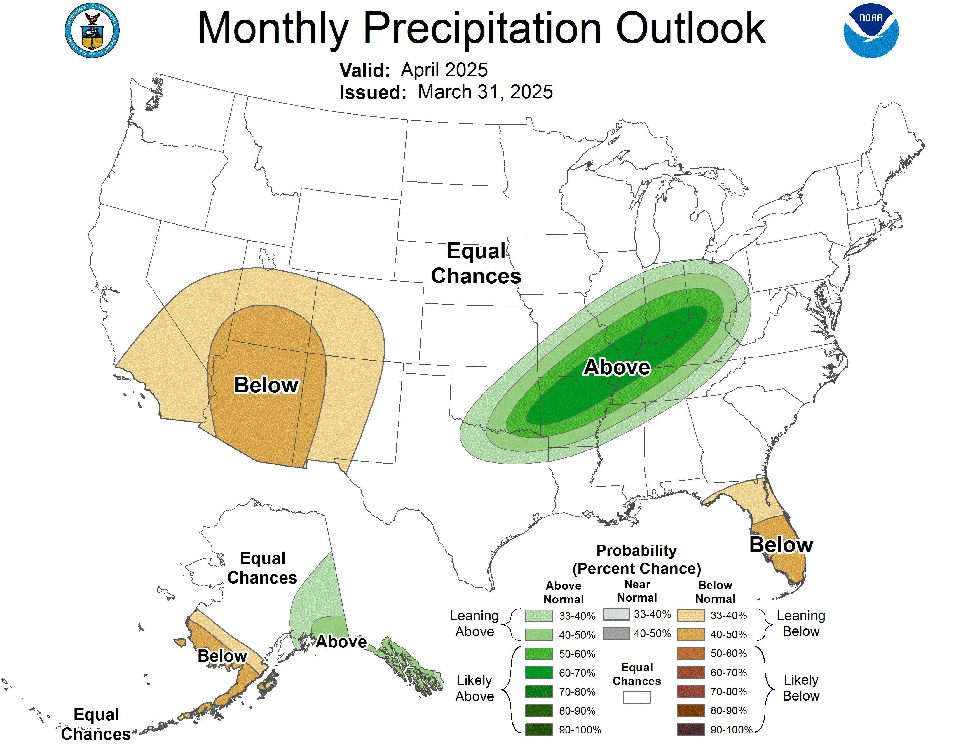
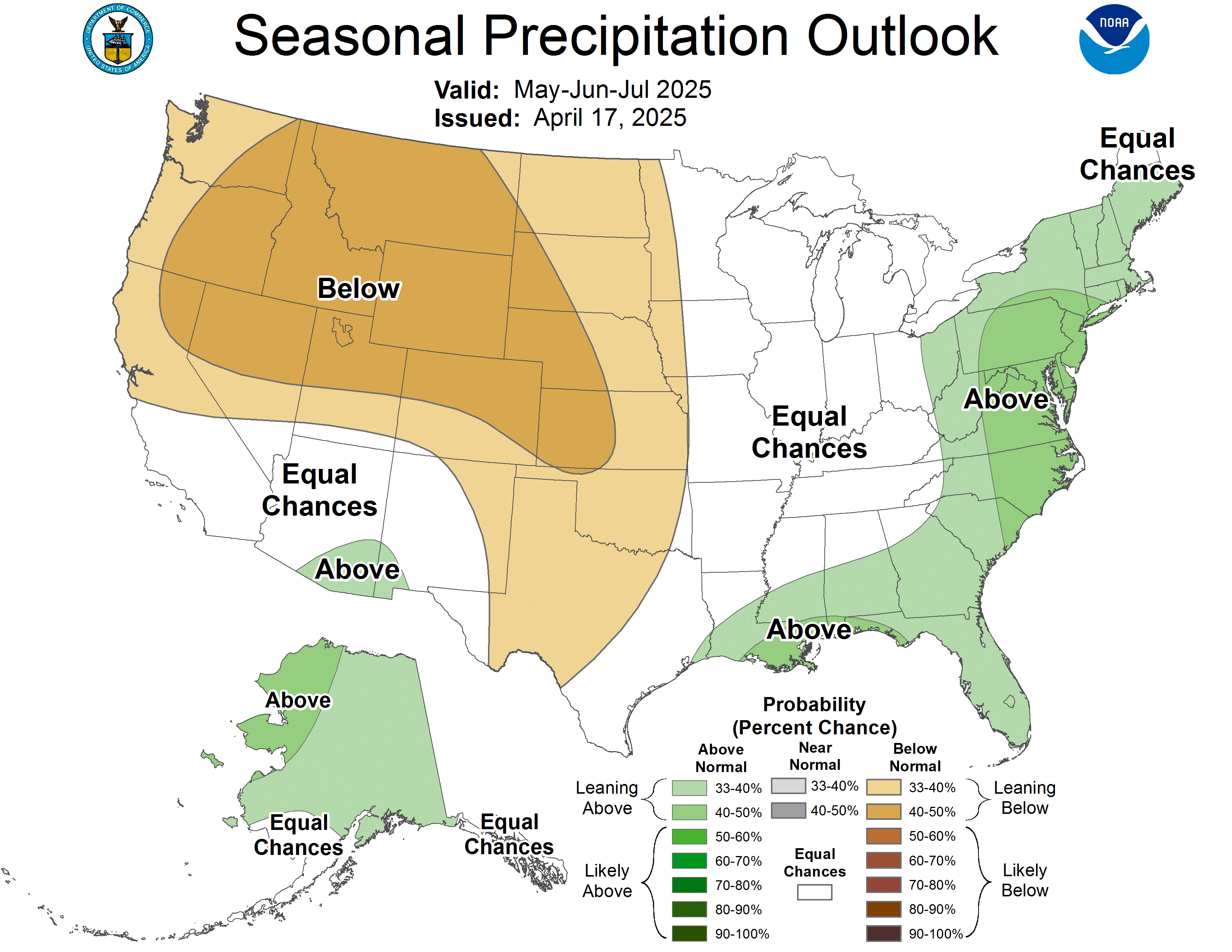
Climate Outlook
Click on image to enlarge. Maps from the Climate Prediction Center (CPC).
|
|
|
|
|
|
|
|
|
|
|
|
|
|
|
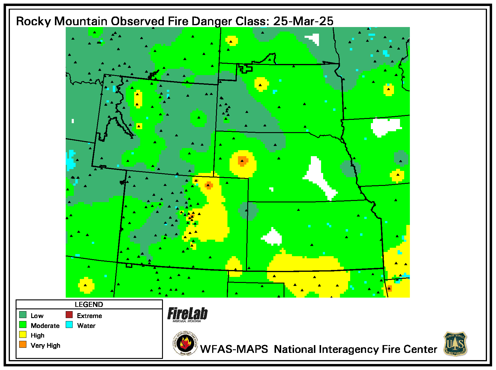
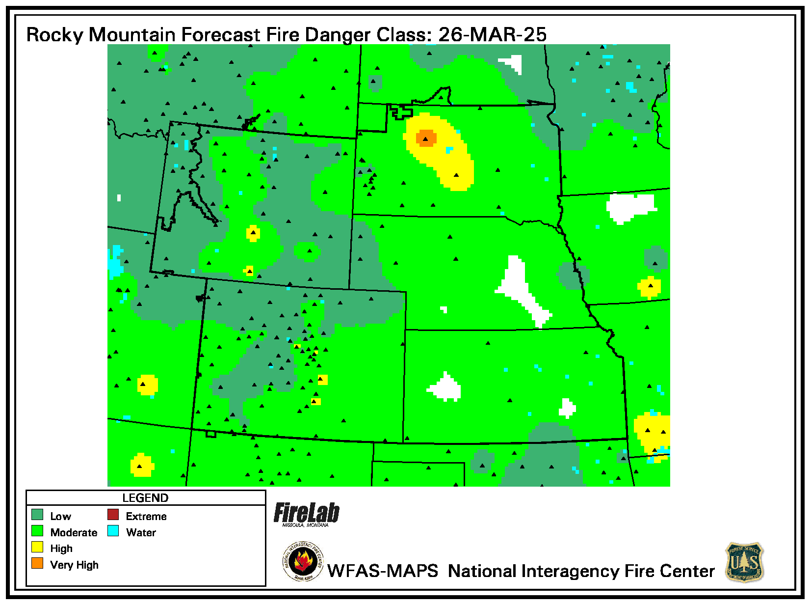
WFAS - Fire Danger Map
Click here to open a mobile friendly version
Click on image to enlarge.
|
Latest Observed Fire Danger Class
|
Forecast Fire Danger Class
|
Above maps from the Wildland Fire Assessment System (WFAS).
|
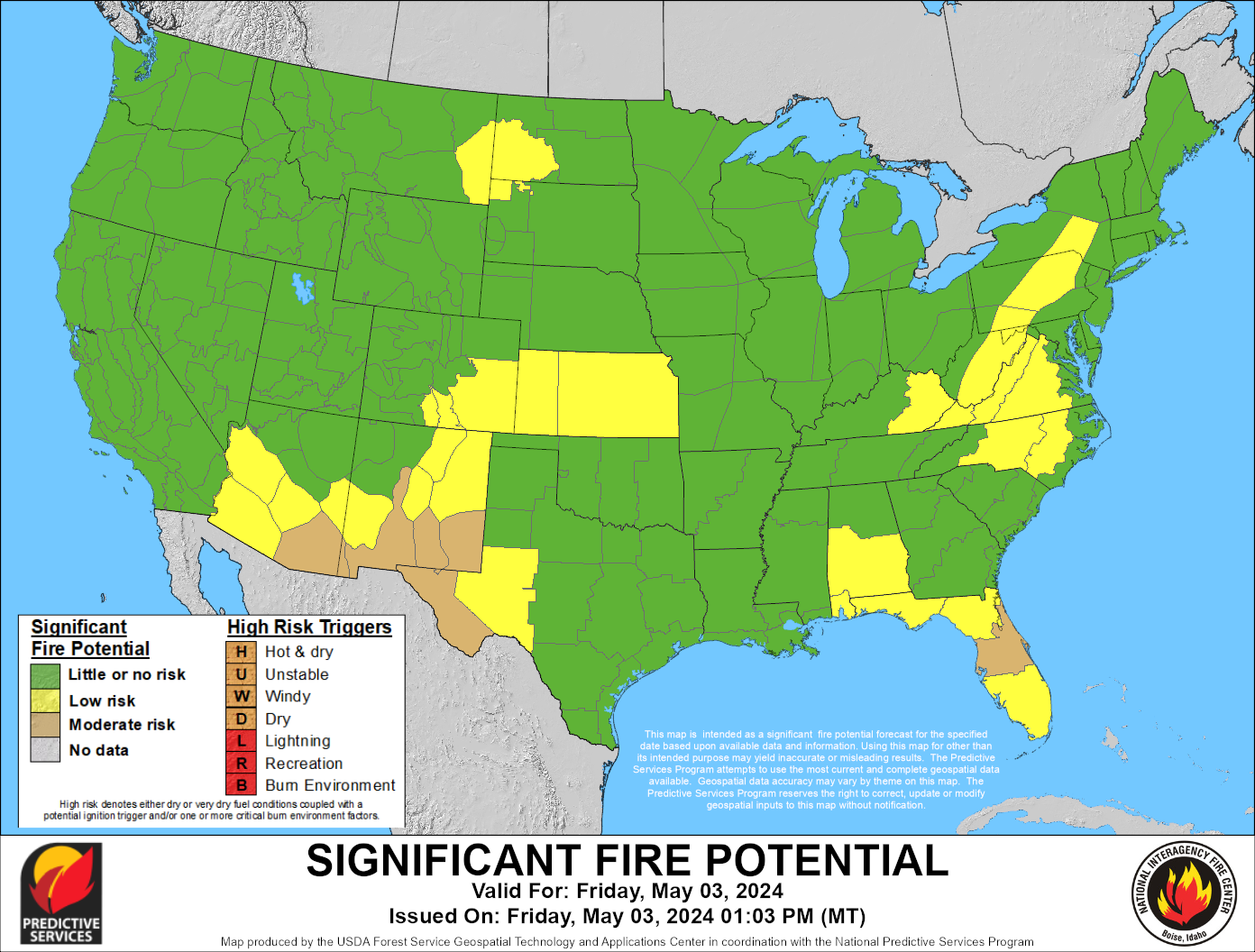
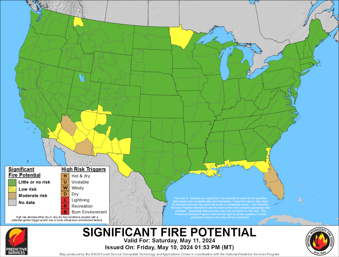
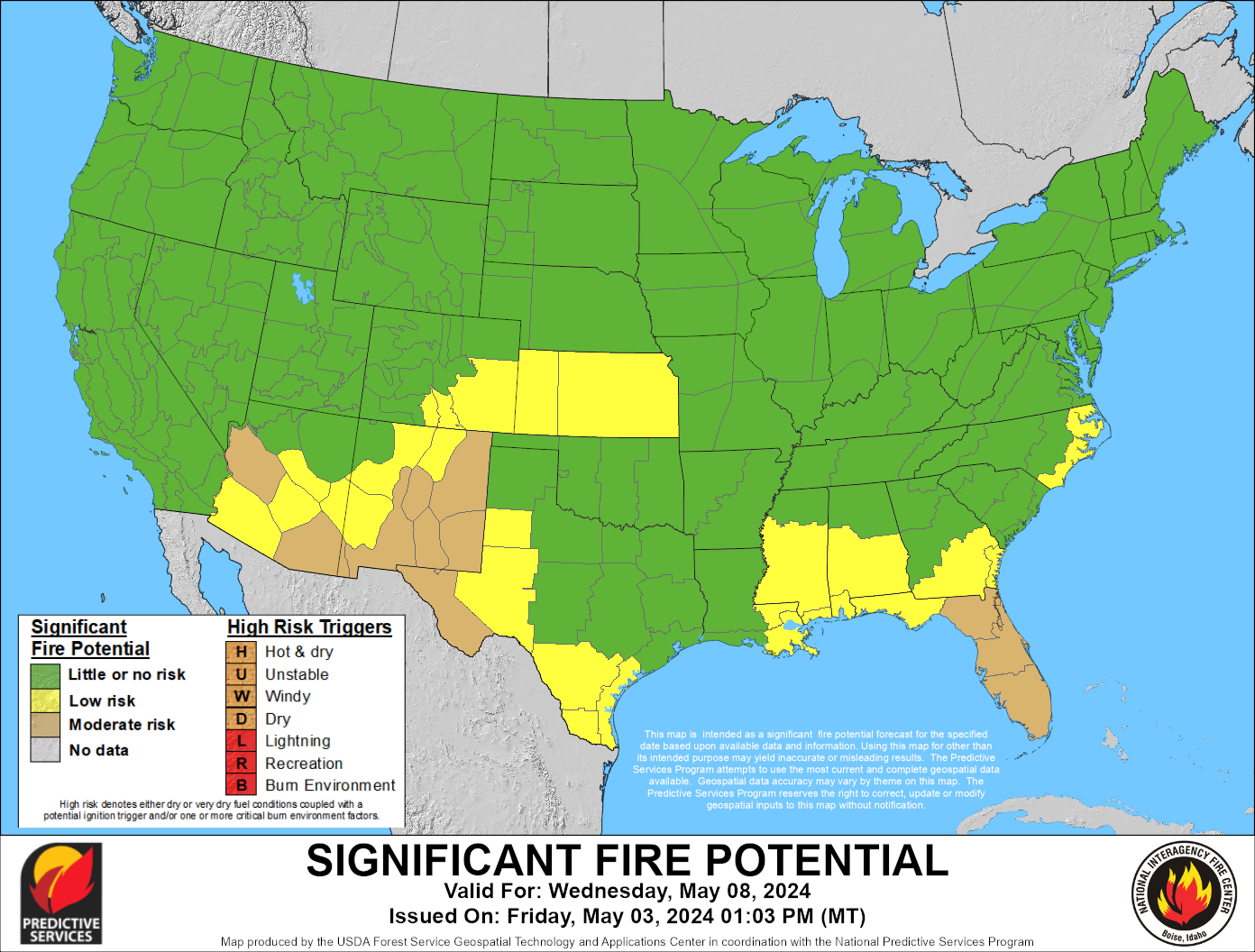
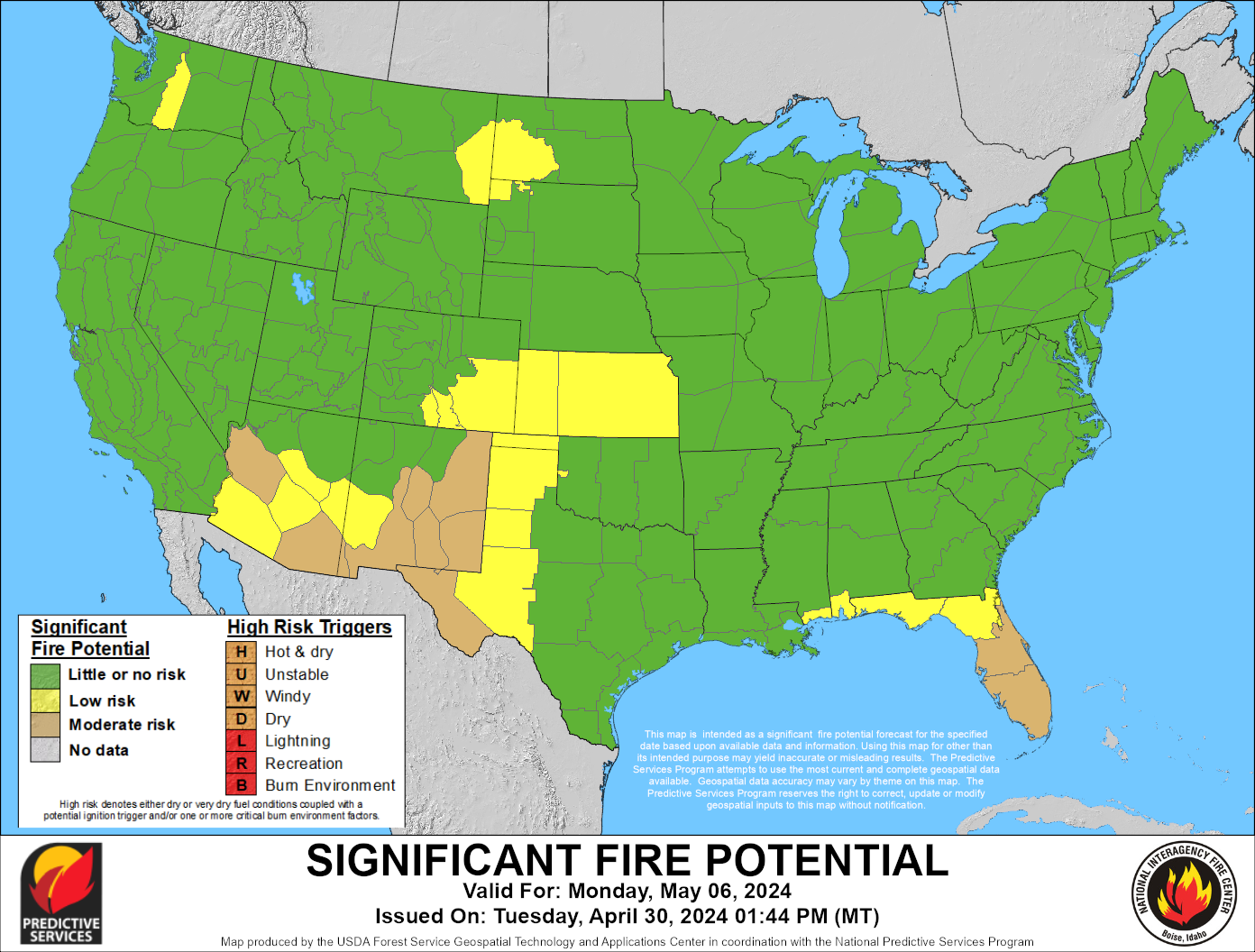
Today's Significant Fire Potential
|
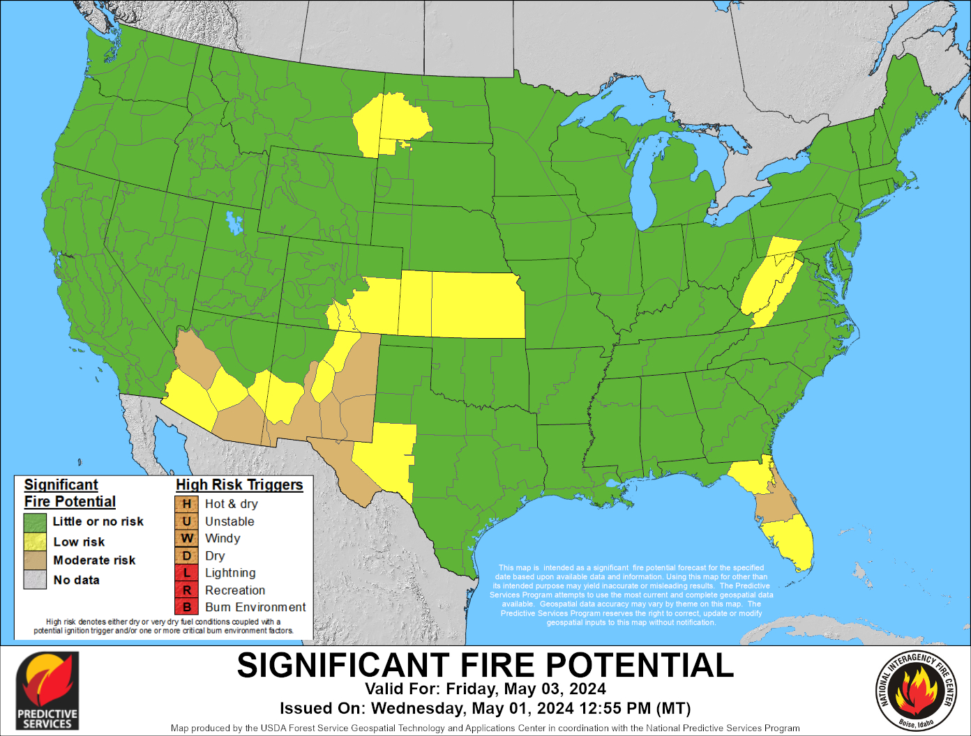
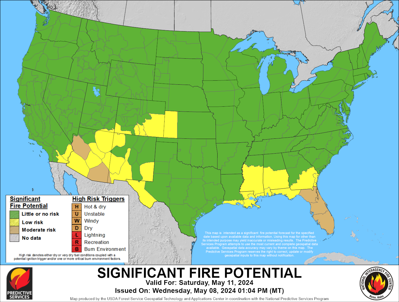
Tomorrow's Significant Fire Potential
|
|
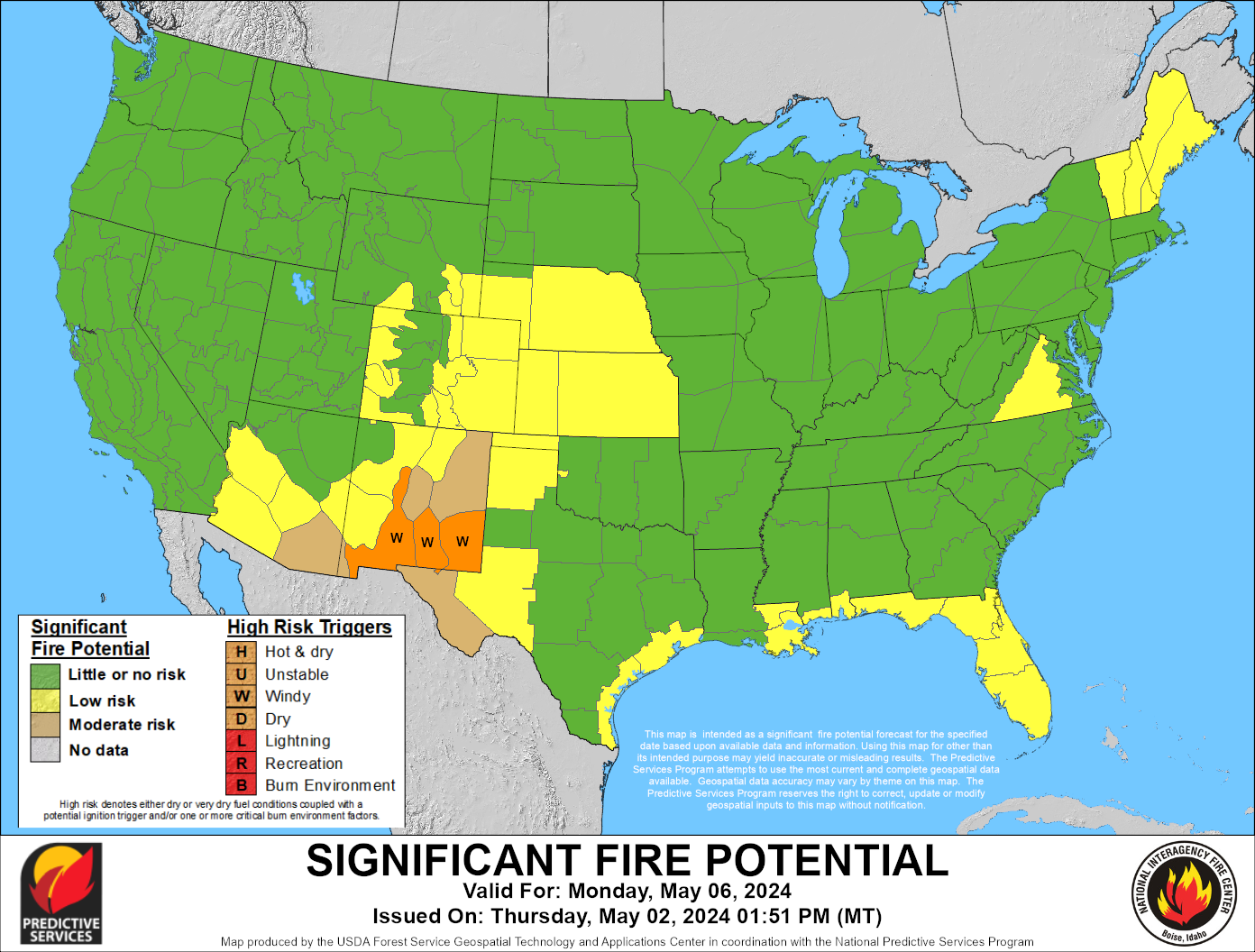
Day 3
|
Day 4
|
Day 5
|
Day 6
|
Day 7
|
|
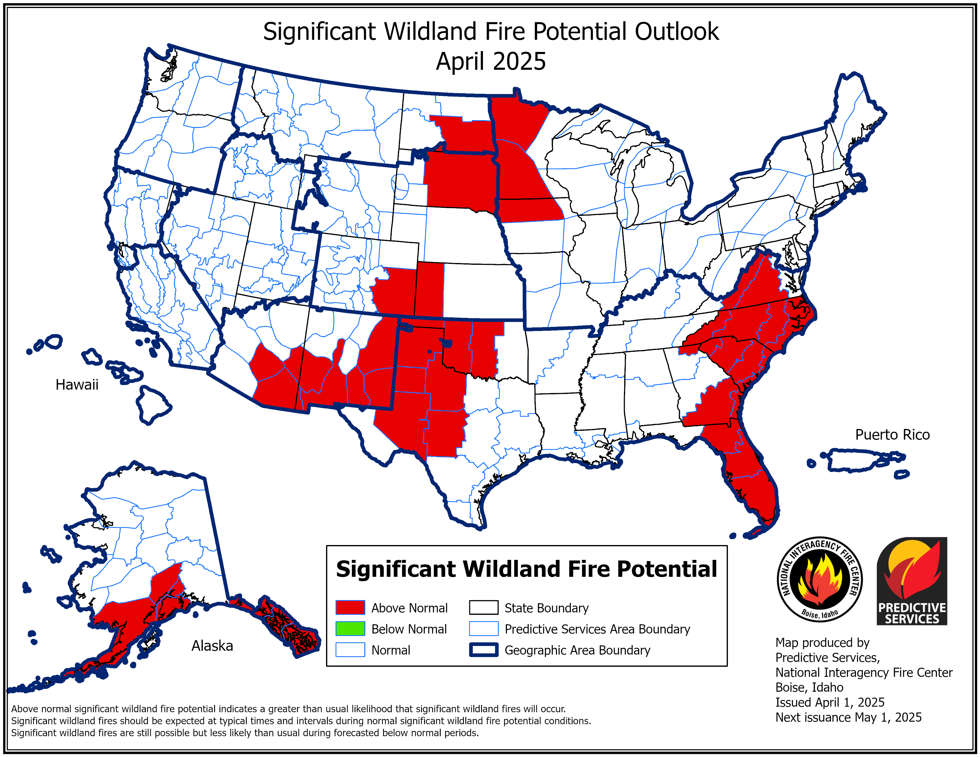
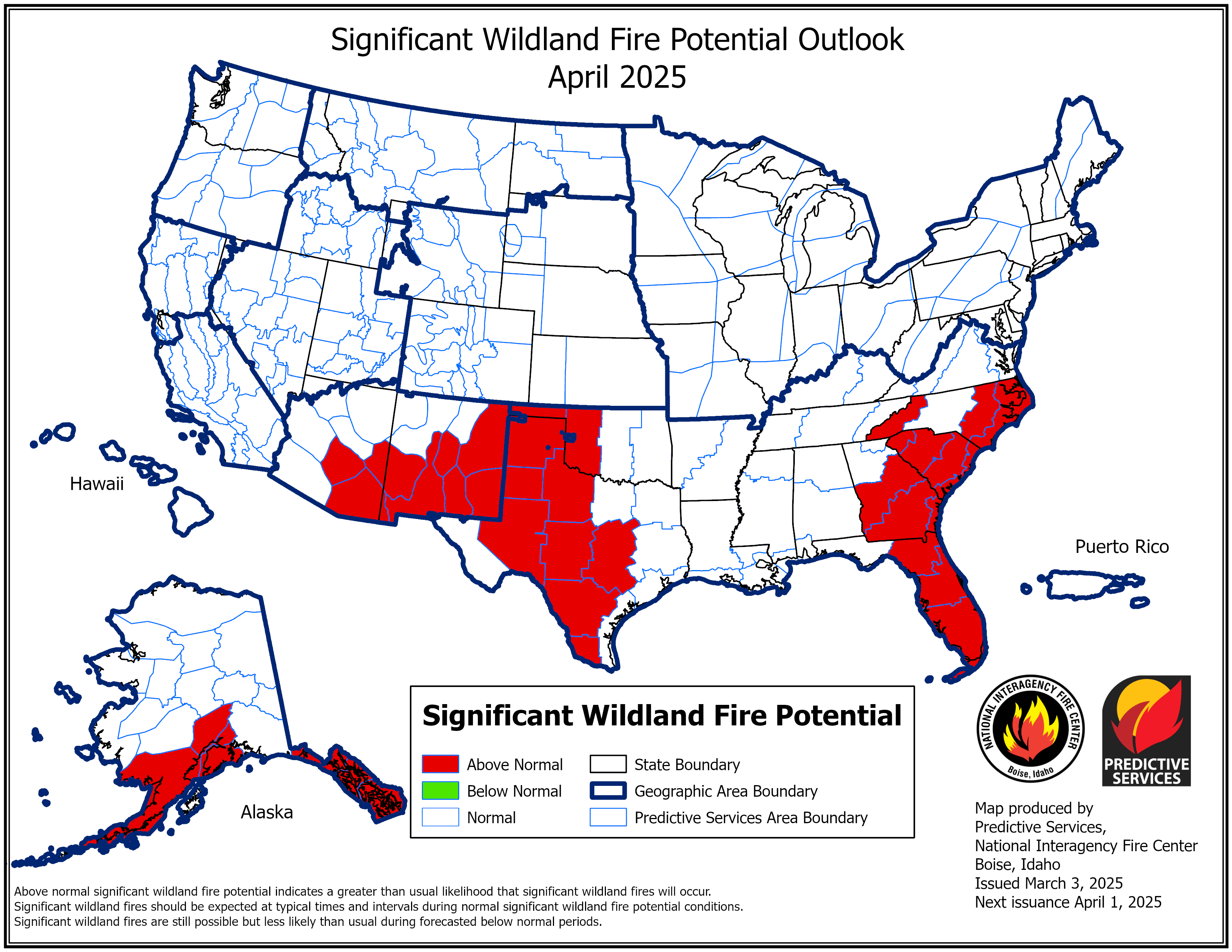
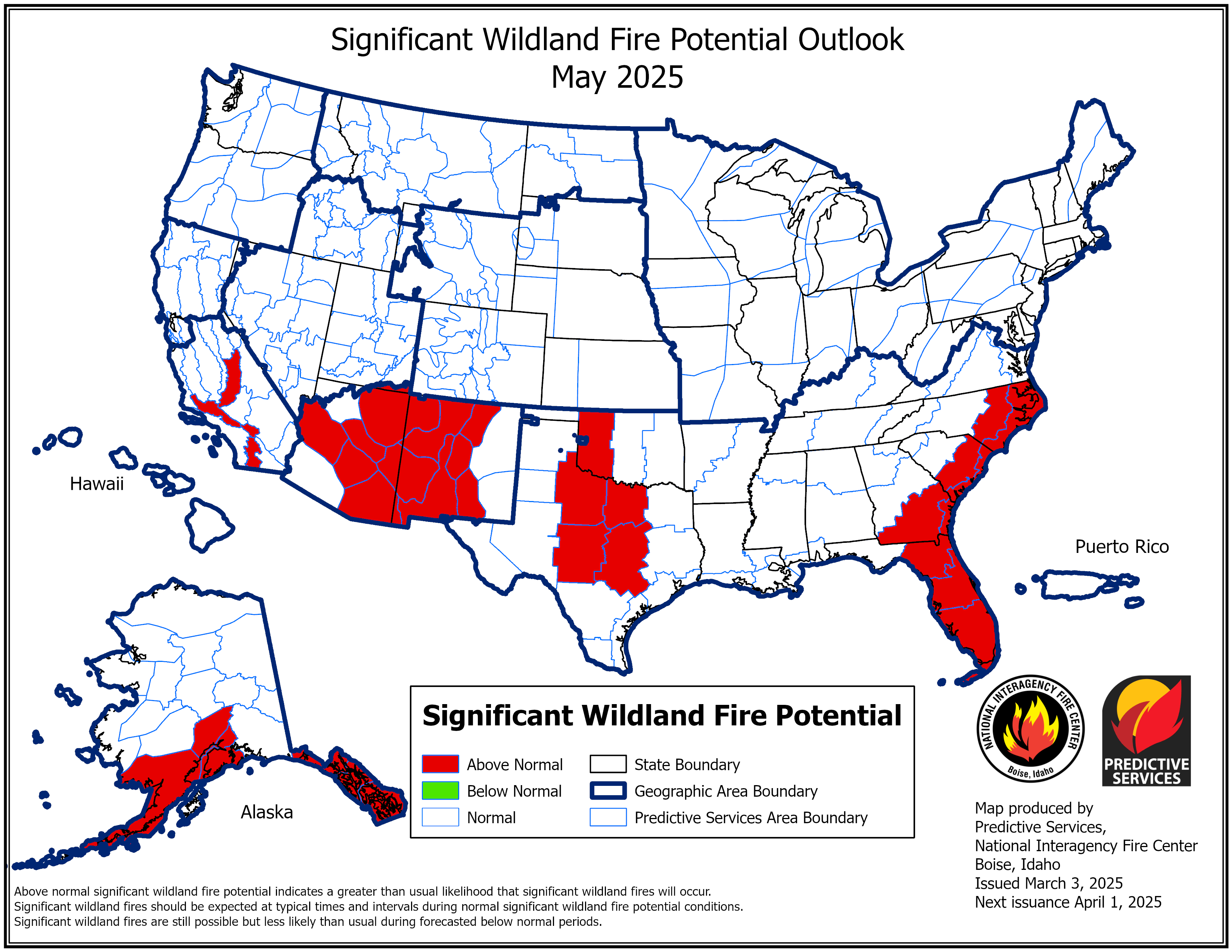
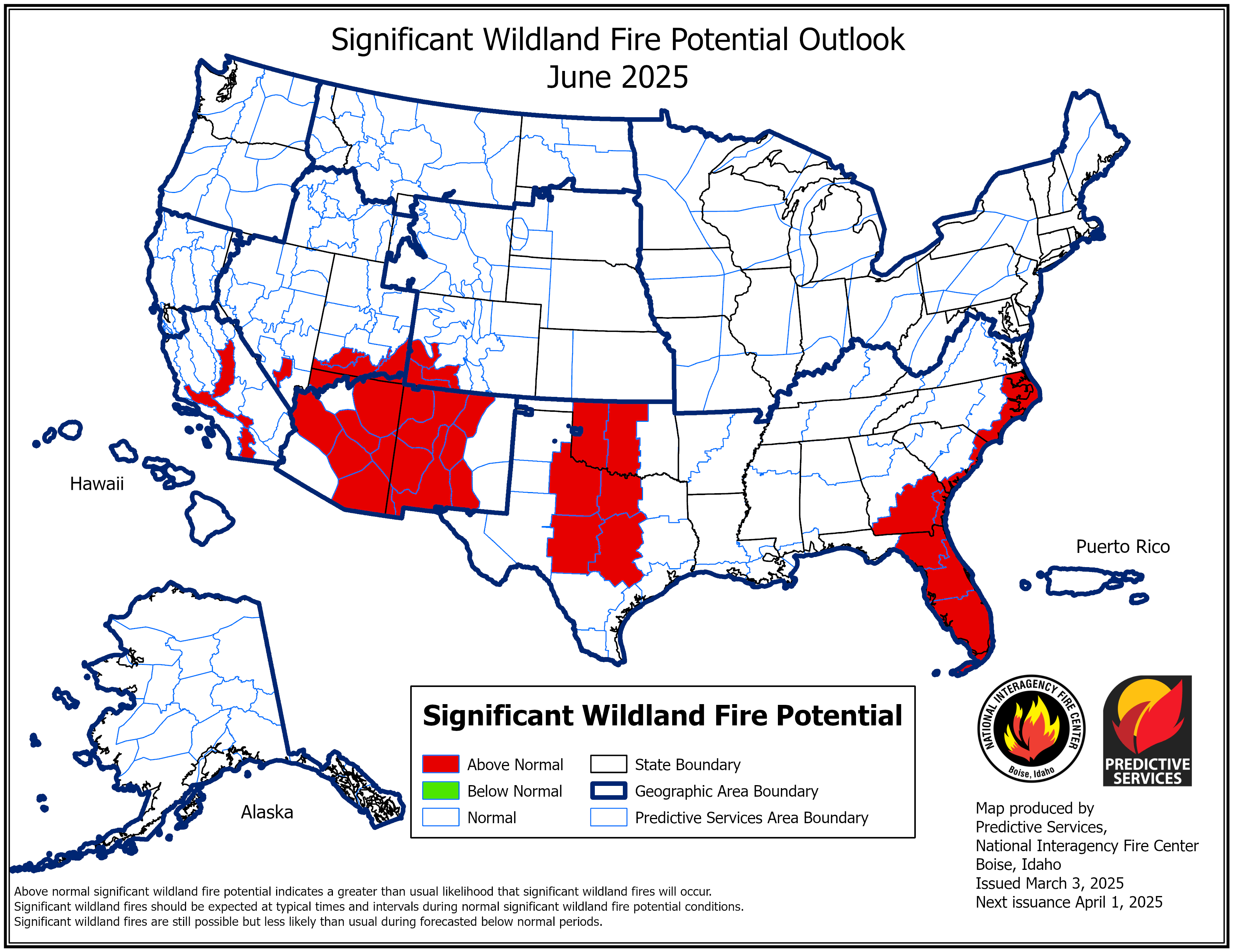
This Month Significant Wildland Fire Potential Outlook
|
Next Month Significant Wildland Fire Potential Outlook
|
|
Month 3 Significant Wildland Fire Potential Outlook
|
Month 4 Significant Wildland Fire Potential Outlook
|
Above maps from the Predictive Services Program.












 Follow us on X
 Follow us on Facebook
 Follow us on YouTube
 RIW RSS Feed