Severe thunderstorms will continue today across portions of the Southeast as this system tracks offshore. Meanwhile, dry and breezy conditions will increase fire weather concerns for areas of central Florida today; The threat shifts into portions of the northern Plains on Friday. Record warmth will spread for the southern Plains, Southwest, central Great Basin and interior California next week. Read More >
 |
Building a Weather-Ready Nation |
Summary | Monitoring & Reporting | Safety
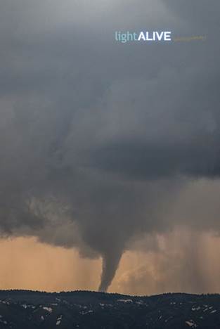
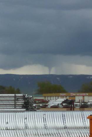
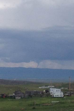
A series of thunderstorms popped up across the state today, one of these thunderstorms even caused a landspout tornado to form on Casper Mountain! The atmosphere is not primed for tornadoes today, and no rotation was evident on radar, so what happened?
Landspouts form when pre-existing horizontal circulations are stretched and tilted upward by a developing thunderstorm updraft. As with gustnadoes, landspouts do not usually form from mesocyclones or supercells. In fact, a large number of landspouts are observed in association with simple developing showers, often before precipitation is visible on radar. However, storm interceptors have noted the presence of landspouts in conjunction with supercell thunderstorms, sometimes at the same time as, but in a different part of the storm than a supercell tornado. Landspouts are usually visible, unlike gustnadoes, and most have a narrow, rope-like condensation funnel extending from cloud base to the ground. Wall clouds are not usually observed with landspouts, and these tornadoes are typically short-lived and weak. Damage associated with landspouts is usually not noted, but it can be significant with damage in the F1 category possible with wind speeds as high as 110mph possible.
Landspout tornadoes are typically not visible on radar, like their traditional supercell counterparts and usually go unwarned for that reason.
We have not recieved any reports of damage from this tornado, but we have received several pictures! Thank you to those of you that have sent them in. If you have a photo that you would like to share, please post it on our Facebook page or send it to cr.wxriw@noaa.gov
|
|
|
|
|
Image by Shawn Covert |
 |
 |
 |
If you have additional photos or video of this storm, please share them with us!
 |
Monitor our Severe Weather Summary Page for current Warnings, Watches, and Advisories. What's the difference? |
 |
Check the latest Weather Story graphic for an overview of the area forecast. |
 |
Check out what's on the radar. Riverton | Pocatello | Cheyenne | Billings | Salt Lake City | Rapid City | Mosaic |
 |
Submit storm reports/images and keep up to date with us on Facebook! |
 |
Other reporting methods include eSpotter, email (cr.wxriw@noaa.gov), or by phone at 1-800-211-1448. |
 |
Check the latest Public Information Statement for the latest storm reports. |
 |
Monitor current road conditions by visiting the Wyoming Dept. of Transportation (WYDOT) or by calling 5-1-1. |
 |
Learn more about the National Weather Service's efforts to build a Weather-Ready Nation! |