Showers and thunderstorms will be possible from the northern Plains to the Gulf Coast on Monday. Thunderstorms with large hail and severe wind gusts are expected Monday afternoon and evening across parts of the central Plains. Read More >
 |
The National Weather Service Building a Weather-Ready Nation |

Total Rainfall Amounts:
Additional rainfall through the day Saturday will generally range between 0.25 and 0.50 inch with isolated higher amounts in Johnson County.
Rainfall totals from Wednesday night through 12 AM Saturday can be found here.
Snowfall Potential and Amounts:
Colder temperatures will continue to filter into the western Friday evening. This cold air will continue to push east Friday night and Saturday. Snow levels will gradually drop tonight to around 8,000 feet by sunrise Saturday. Snowfall in these areas will range from 3 to 6 inches with locally higher amounts above 9000 feet. Snow will increase later Friday night and Saturday across the Bighorn Mountains. A Winter Weather Advisory has been posted for the Bighorns until 6 PM Saturday, with snowfall of 4 to 10 inches expected.
Hunters need to be prepared for wetter and cooler conditions to continue Saturday. Daytime temperatures will be 15 to 20 degrees below normal Saturday with a brisk northwest wind of 15 to 30 mph expected.
 |
 |
|
Winter Weather Advisory |
Additional Forecast Precipitation from |
 |
 |
|
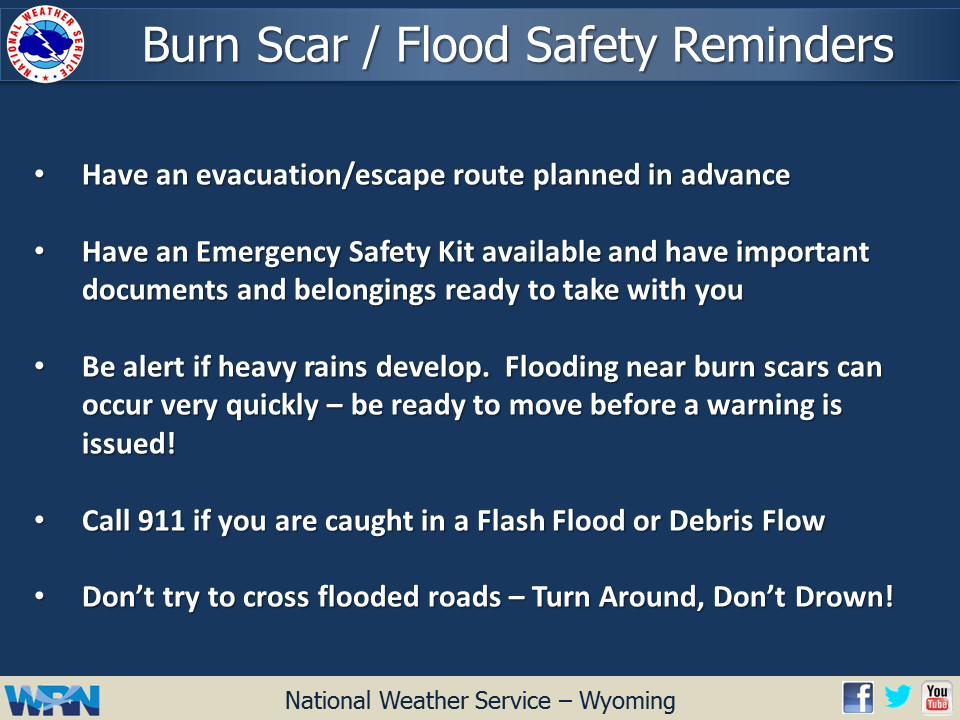
Western Wyoming Wildfire Burn Scars Most Susceptible to Flash Flooding |
Snowfall Totals Expected through |
 |
Monitor our Severe Weather Summary Page for current Warnings, Watches, and Advisories. What's the difference? |
 |
Check the latest Weather Story graphic for an overview of the area forecast. |
 |
Check out what's on the radar. Riverton | Pocatello | Cheyenne | Billings | Salt Lake City | Rapid City | Mosaic |
| Submit storm reports/images and keep up to date with us on Facebook! | |
 |
Other reporting methods include our online spotter submission form, email (nws.riverton@noaa.gov), or by phone at 1-800-211-1448. |
 |
Check the latest Public Information Statement for the latest storm reports. |
| Monitor current road conditions by visiting the Wyoming Dept. of Transportation (WYDOT) or by calling 5-1-1. |
Emergency Kit | Burn Scar Flash Flooding
|
Learn more about the National Weather Service's efforts to build a Weather-Ready Nation! |