***While this page highlights the burn scar associated with the Fairfield Hill Wildfire, these impacts can occur down slope and/or downstream of any burn area, big or small. Please contact local officials if you are unsure of your risk.***
 |
 |
 |
 |
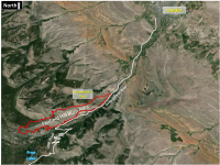
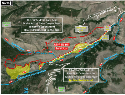
| Location of Fairfield Hill Burn Scar |
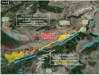
Overview of Fairfield Hill Burn Scar General Location |
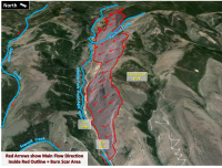
Fairfield Hill Burn Scar 3D View |
|
Greatest Risk Area
|

What should people who live near burn areas do to protect themselves from potential Flash Flooding and Debris Flows?
|