
A stationary front will continue to bring heavy to excessive rainfall to South Florida into Saturday with localized and urban flooding possible. Heavy to excessive rainfall is forecast through Saturday over the southern Rockies into the northern Plains. Instances of flash flooding are possible, especially in higher terrain and burn scars. Read More >
1. Where can I find Monthly and Seasonal Climate Season Outlooks?
You can use the following link for maps for monthly and season climate outlooks: http://www.cpc.ncep.noaa.gov/products/predictions/multi_season/13_seasonal_outlooks/color/churchill.php
A map summarizing drought across the United States can be found at:
https://droughtmonitor.unl.edu/
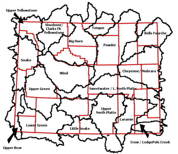
Wyoming Snowpack information can be found on our hydrology page using the following links:
top
4. Where can I find a Flood Potential Outlook?
The National Flood Outlook map can be found at the following link: https://www.hpc.ncep.noaa.gov/nationalfloodoutlook/
Our zone forecast product (ZFP) can be found by utilizing the link below:
https://www.weather.gov/product.php?site=RIW&product=ZFP&issuedby=RIW
The link for Wyoming CoCoRaHS measurements is:
https://www.cocorahs.org/state.aspx?state=wy
Current Snowfall Totals can be found in two locations. The first is a graphical map which can be found at either:
https://www.weather.gov/riw/hires_snowfall (High Resolution .png Image)
or
https://www.weather.gov/riw/lores_snowfall (Low Resolution .png Image)
Or in a text format, the recent snowfall reports can be found at:
https://www.weather.gov/product.php?site=RIW&product=SPS&issuedby=RIW
Our regional Max and Min Temperature & Precipitation reports can be found on our website at:
https://www.weather.gov/product.php?site=RIW&product=RTP&issuedby=RIW
Our statewide Max and Min Temperature & Precipitation summary can be found at:
https://www.weather.gov/product.php?site=RIW&product=RTP&issuedby=WY
The University of Wyoming maintains this information at:
https://www-wwrc.uwyo.edu/wrds/nrcs/snowpack/snowmap.html
12. Where can I find temperature and precipitation normals and records for my location?
Use the following website:
https://www.wrcc.dri.edu/summary/climsmwy.html
From this page, complete the following to retrieve your desired information:
Choose your site
Scroll down the left hand menu to:
Daily Tabular Data (~23KB) (2nd from the top) - Provides a 30 year average for temperature and precipitation
Daily Summary Stats (~55KB) (2nd from the bottom) - Provides record temperature and precipitation data
13. I need to talk to a forecaster!
If you need additional data, or need to talk to a forecaster, please call 1-800-211-1448 24 hours a day, 7 days a week!

