
Showers and thunderstorms are expected from Texas to the Northeast through Tuesday. Heavy rain will create mainly localized areas of flash flooding across the central Gulf Coast into the Appalachians. Elevated to Critical fire weather conditions due to gusty winds and low humidity are expected through Tuesday across Oregon and Nevada. Showers and thunderstorms will develop over the Northwest. Read More >
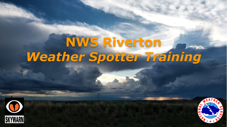
NWS Riverton Spotter Training Sessions
Each webinar session below covers the same material, so all are interchangeable. Please note these are not required to pass along weather information to our forecast staff, but they are helpful in learning to identify dangerous weather that could pose a threat to life or property.
Session #1: April 9, 2025, 1:30 PM
In-Person Training. Hosted by Hot Springs County Emergency Management. Training room will be at the Thermopolis Volunteer Fire Dept, located at: 400 S. 14th St, Thermopolis, WY.
Session #2: May 8, 2025, 1:00 PM
In-Person Training. Hosted by Johnson County Emergency Management. Training room will be in the Johnson County Office Annex A Building, located at: 26 N. DeSmet Ave, Buffalo, WY.
Session #3: May 15, 2025, 6:00 PM
In-Person Training. Hosted by Washakie County Search and Rescue. Training room will be ???, located at: ??? Worland, WY.
Session #4: May 10, 2024, 11:00 AM MDT
Online webinar. https://attendee.gotowebinar.com/register/5202743225552517976
Session #5: May 29, 2024, 5:30 PM MDT
In-Person Training. Hosted by Teton County Emergency Management. Location will be the Teton County Library Auditorium, located at: 125 Viginian Ln, Jackson, WY.
 The National Weather Service relies on trained volunteers to supplement doppler radar information when flooding, severe storms, and tornadoes threaten. These dedicated individuals volunteer their time to learn about and identify severe weather. Their valuable reports are an important part of the warning process. Weather reports from trained spotters are used along with doppler radar data to issue warnings for tornadoes, severe thunderstorms, and flash floods.

