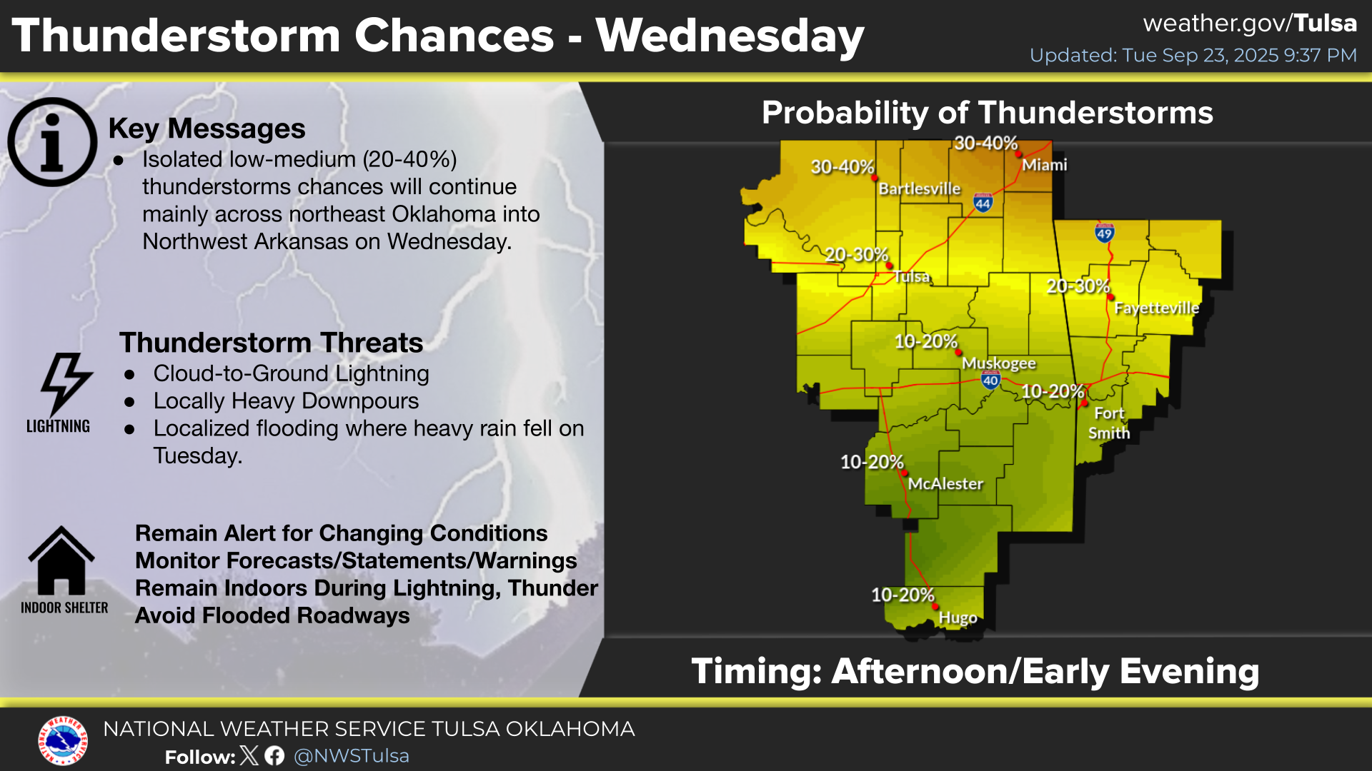
Isolated severe thunderstorms with strong wind gusts and hail will be possible Tuesday from parts of central Plains northeastward into the Midwest. Additional storms capable of damaging winds will be possible across the eastern Florida peninsula. Elevated to critical fire weather including gusty winds and low relative humidity is forecast again Tuesday over much of the northern Great Plains. Read More >
Last Map Update: Mon, May 11, 2026 at 8:24:36 pm CDT


| Latest Text Product Selector (Selected product opens in a new window) | |
 |
 |
 |
 |
 |
 |
| Decision Support | Winter | Hazards | Observations | Climate | Hydrology |
 |
 |
 |
 |
 |
 |
| Social Media | Satellite | Fire Weather | Weather Radio | Spotter Training | Text Products |
 |
|||||
| Models | |||||