National Weather Service United States Department of Commerce
Click a location below for detailed forecast.

Last Map Update: Wed, Jun 4, 2025 at 11:58:34 am CDT
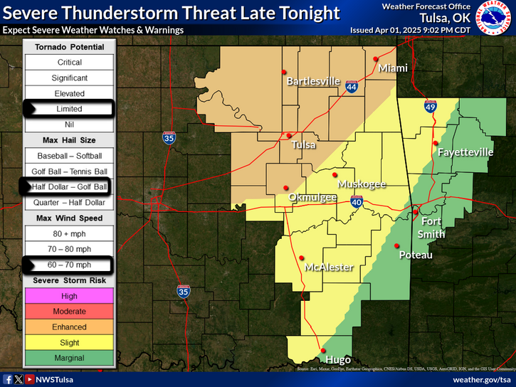
A few thunderstorms are forecast to develop late morning into early afternoon along a lingering front across far southeast Oklahoma into western Arkansas. These may pose a marginally severe hail and wind threat for a few hours during the early to middle part of this afternoon.
An overnight thunderstorm complex is currently expected to organize to the west of the area and move eastward Thursday night and early Friday morning across portions of eastern Oklahoma and northwest Arkansas. Large hail and damaging wind gusts will be the main concerns. Keep up with the latest forecasts and make sure you have multiple ways to receive warnings - including those designed to wake you up!
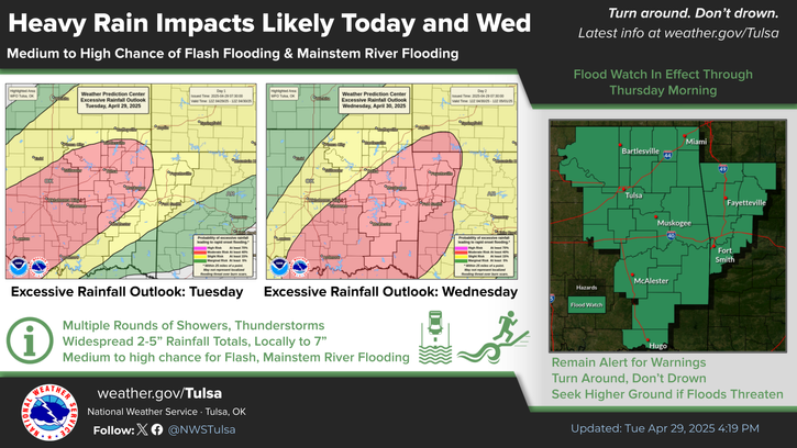
A thunderstorm complex is expected to be ongoing Friday morning across portions of the area, which may continue to pose a threat for damaging winds as it shifts eastward. The more likely severe weather threat will accompany another overnight thunderstorm complex forecast to develop well to the west of the region and push eastward across the area into early Saturday morning. Damaging winds up to 75 mph, large hail and a limited tornado threat currently appear to be concerns with this complex, in addition to a continued heavy rain threat. Have at least 3 ways to receive weather warnings, including those designed to wake you up!
Ft Smith Radar (Ft Smith, Ar - KSRX)
Latest Text Product Selector (Selected product opens in a new window)

Decision Support Winter Hazards Observations Climate Hydrology
 
 
Social Media Satellite Fire Weather Weather Radio Spotter Training Text Products
 
 
Models