
Dangerous heat will persist across the Southwest U.S. through Friday with daytime highs of 110-115°F. Heat across the southern Plains will briefly ease to near-normal by late week before returning over much of the Plains into next week. Scattered strong to severe thunderstorms are possible across parts of the Northeast U.S. on Thursday. Damaging wind, hail, and a tornado or two are possible. Read More >
Last Map Update: Wed, Aug 26, 2026 at 8:48:27 pm CDT
| Latest Text Product Selector (Selected product opens in a new window) | |
 |
 |
 |
 |
 |
 |
| Decision Support | Winter | Hazards | Observations | Climate | Hydrology |
 |
 |
 |
 |
 |
 |
| Social Media | Satellite | Fire Weather | Weather Radio | Spotter Training | Text Products |
 |
|||||
| Models | |||||





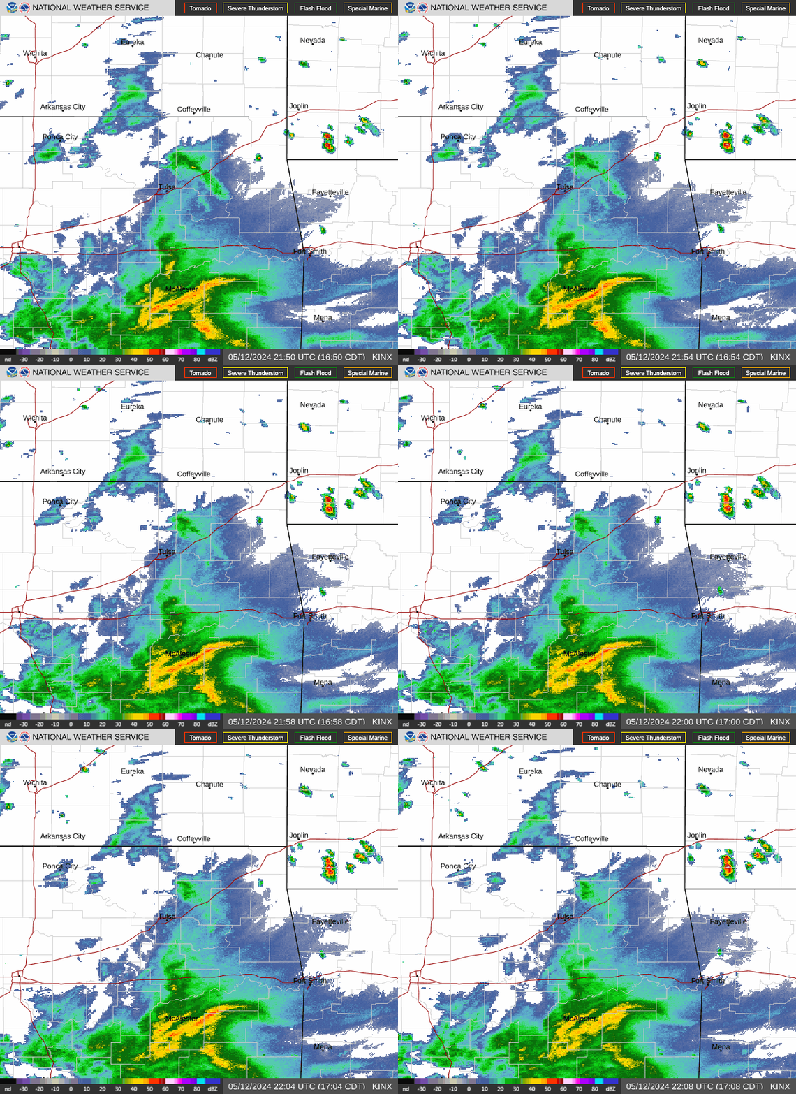 Tulsa Radar
  Weather Map
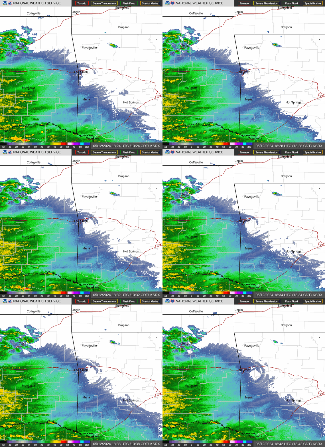 Fort Smith Radar
 Follow us on X
 Follow us on Facebook
 Follow us on YouTube
 TSA RSS Feed