National Weather Service United States Department of Commerce
Click a location below for detailed forecast.

Last Map Update: Tue, Jun 3, 2025 at 11:46:42 am CDT

A slight risk for severe thunderstorms will exist across much of eastern Oklahoma and far northwest Arkansas mainly Tuesday afternoon and evening. The main severe weather threats will be hail up to the size of ping pong balls and damaging winds to 70 mph. A limited threat for tornadoes will also exist, mainly late afternoon and early evening to the west of Highway 75 in northeast Oklahoma.
The mid afternoon into evening time frames are most favored for severe thunderstorms on Tuesday, with the overall threat decreasing closer to the Oklahoma and Arkansas state line and after midnight.
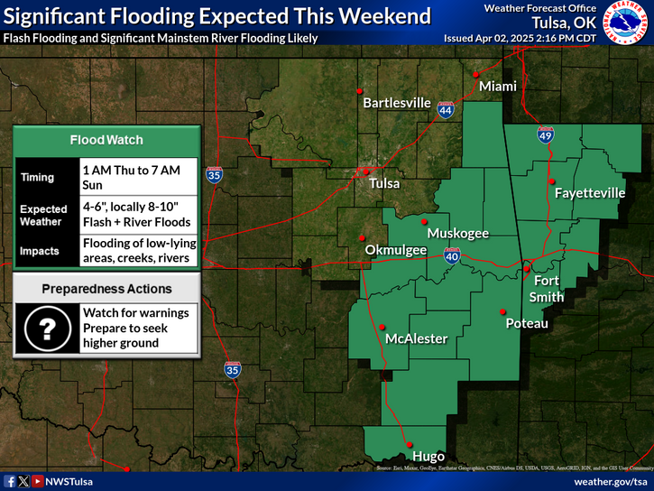
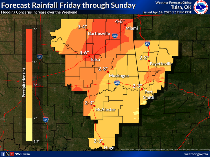
Heavy rains will become widespread by this afternoon through Tuesday night. Recent heavy rains will promote quick runoff with the additional rainfall. Flash flooding can develop quickly.
An overnight thunderstorm complex is currently expected to organize to the west of the area and move eastward Thursday night and early Friday morning across portions of eastern Oklahoma and northwest Arkansas. Large hail and damaging wind gusts will be the main concerns. Keep up with the latest forecasts and make sure you have multiple ways to receive warnings - including those designed to wake you up!
Tulsa Radar (Inola, Ok - KINX)
Latest Text Product Selector (Selected product opens in a new window)

Decision Support Winter Hazards Observations Climate Hydrology
 
 
Social Media Satellite Fire Weather Weather Radio Spotter Training Text Products
 
 
Models