
Tropical moisture from the remnants of Odalys and Hurricane Polo will surge over the southwest into the central U.S. this week with several days of heavy to excessive rainfall which may bring limited to considerable flooding. Flood Watches have been issued through Wednesday in the southwest U.S. and moderate risk outlooks have been issued today through Thursday. Read More >
Last Map Update: Mon, Sep 28, 2026 at 3:55:00 pm CDT
| Latest Text Product Selector (Selected product opens in a new window) | |
 |
 |
 |
 |
 |
 |
| Decision Support | Winter | Hazards | Observations | Climate | Hydrology |
 |
 |
 |
 |
 |
 |
| Social Media | Satellite | Fire Weather | Weather Radio | Spotter Training | Text Products |
 |
|||||
| Models | |||||





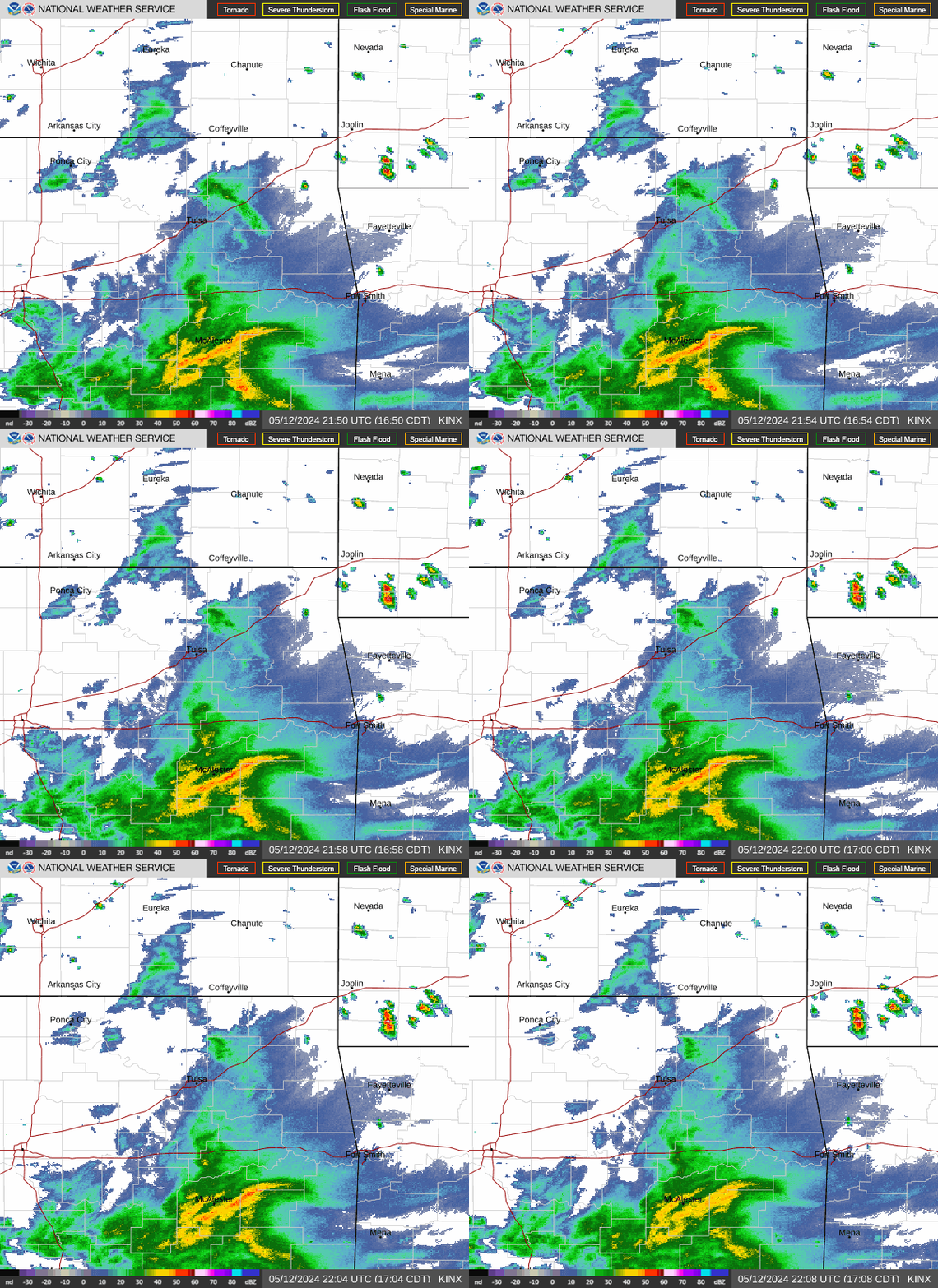 Tulsa Radar
  Weather Map
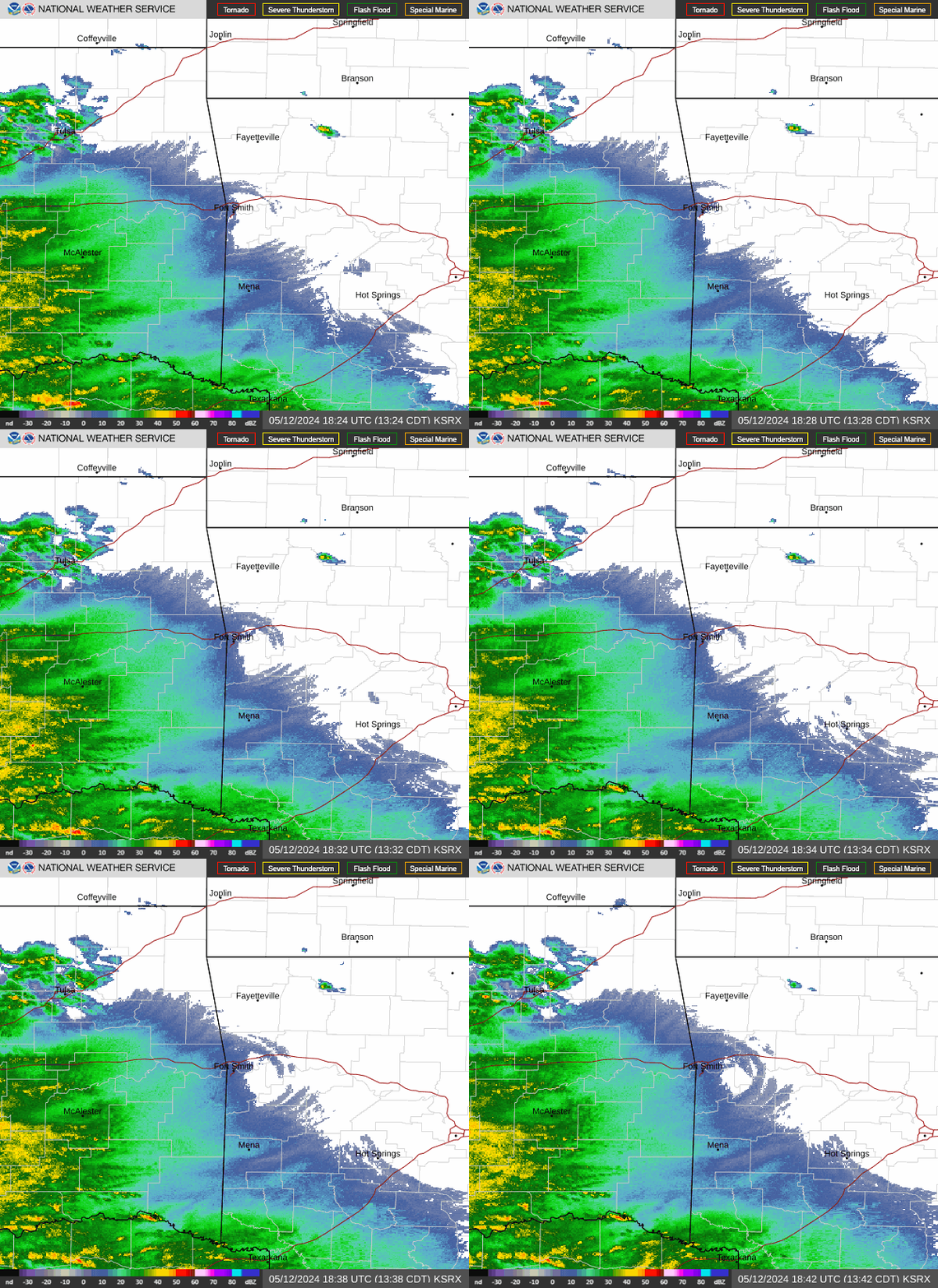 Fort Smith Radar
 Follow us on X
 Follow us on Facebook
 Follow us on YouTube
 TSA RSS Feed