National Weather Service United States Department of Commerce

Precipitation in the Pacific Northwest into the Northern Rockies; Bering Sea Storm in Alaska

A Pacific storm will bring rain and high elevation snow from the Pacific Northwest into the Northern Rockies. A series of storms are expected to move through the Bering Sea bringing strong winds, heavy precipitation, and elevated water levels from the West Coast to northern Alaska. Read More >

Click a location below for detailed forecast.

Last Map Update: Tue, Oct 27, 2026 at 8:32:46 am CDT
Isolated to scattered showers will remain possible through the morning hours, mainly across northeast Oklahoma. Precipitation chances decrease by late morning, though a few sprinkles will remain possible this afternoon. Rainfall is likely to remain light, mainly between a trace and a few hundredths of an inch.
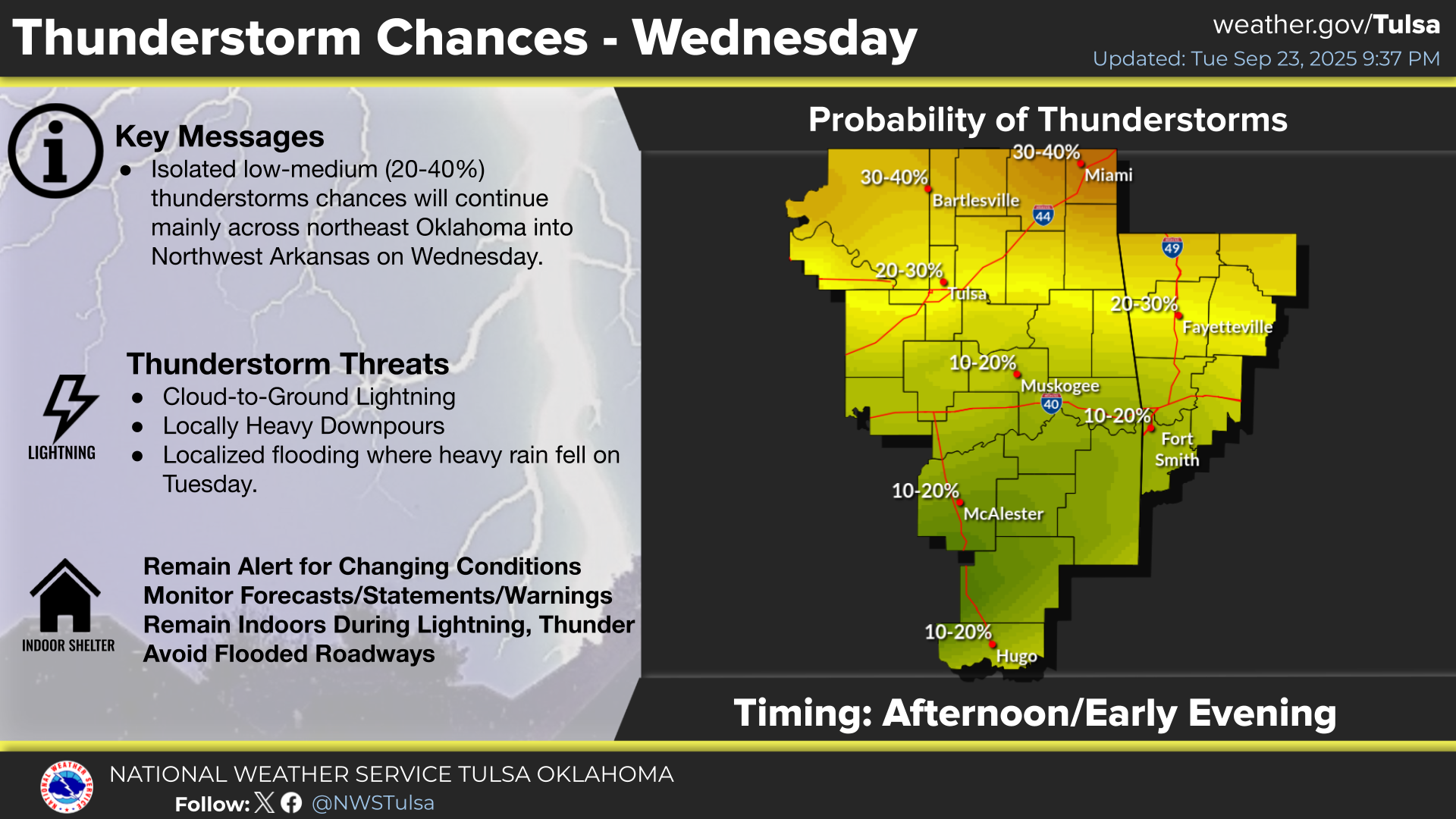
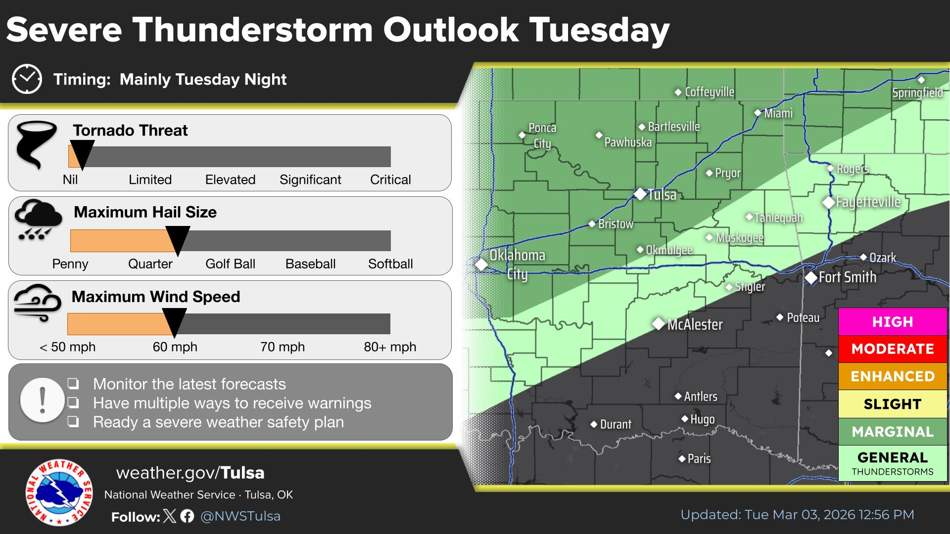
While heavy rain is not currently expected, odds are about 50-50 for wet weather Saturday afternoon and early evening. Precipitation chances decrease from west to east Saturday evening. Isolated thunderstorms are also possible, and could impact outdoor activities. Still some uncertainty in the forecast details. Monitor forecast updates this week.
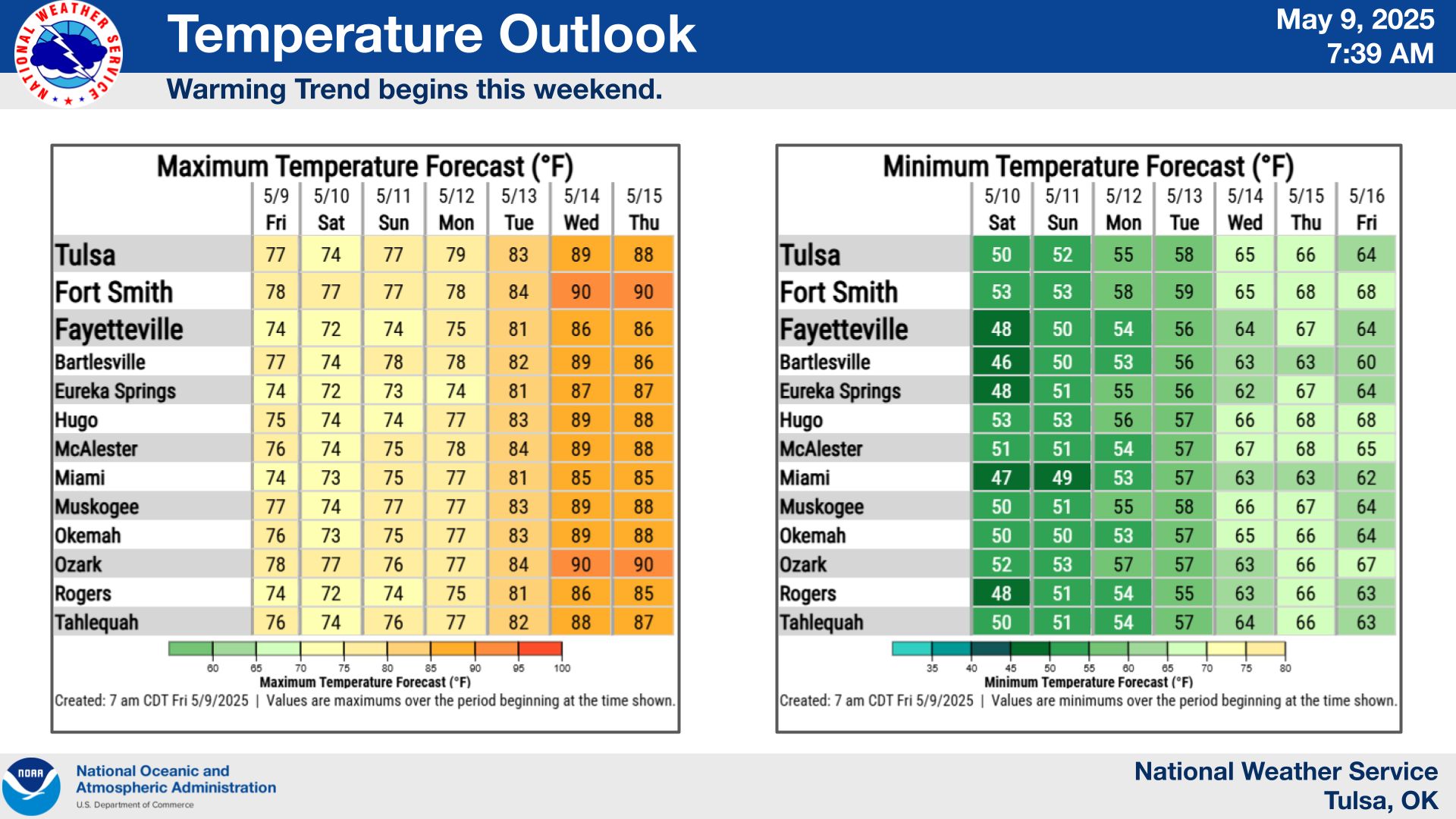
Above average high temperatures and predominantly dry weather will continue through the week. A slight chance of showers Tuesday with higher rain chances this weekend.
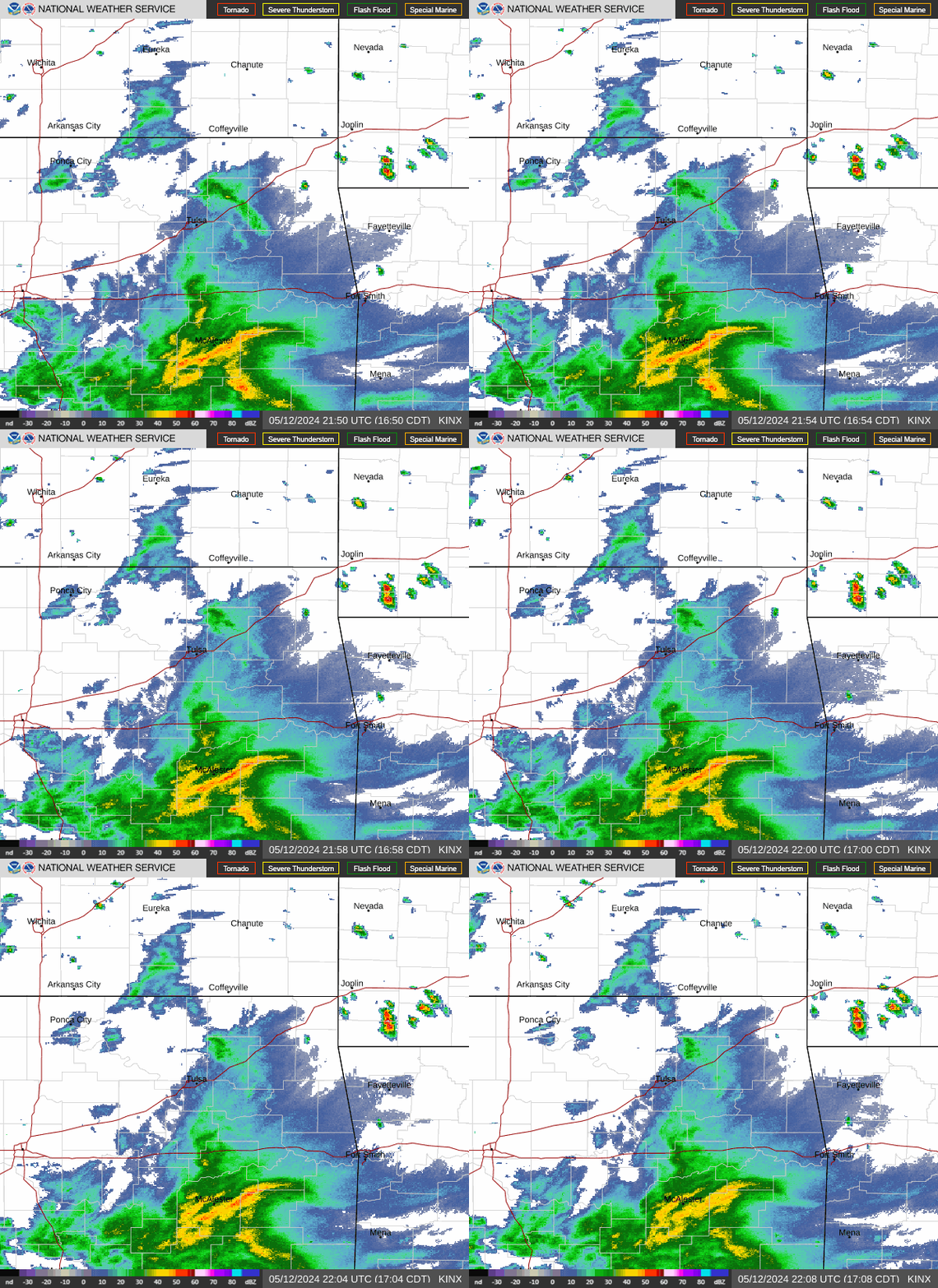
Tulsa, OK (KINX) radar
Latest Text Product Selector (Selected product opens in a new window)

Decision Support Winter Hazards Observations Climate Hydrology
 
 
Social Media Satellite Fire Weather Weather Radio Spotter Training Text Products
 
 
Models