
Dangerous heat will persist across the Southwest U.S. through Friday with daytime highs of 110-115°F. Heat across the southern Plains will briefly ease to near-normal by late week. Strong to severe thunderstorms may produce damaging wind, hail, a tornado or two, heavy rain and flash flooding across parts of the Mid-Atlantic and Northeast. Heavy rainfall threat continues across the Gulf Coast. Read More >
Last Map Update: Thu, Aug 27, 2026 at 6:34:46 pm CDT
| Latest Text Product Selector (Selected product opens in a new window) | |
 |
 |
 |
 |
 |
 |
| Decision Support | Winter | Hazards | Observations | Climate | Hydrology |
 |
 |
 |
 |
 |
 |
| Social Media | Satellite | Fire Weather | Weather Radio | Spotter Training | Text Products |
 |
|||||
| Models | |||||





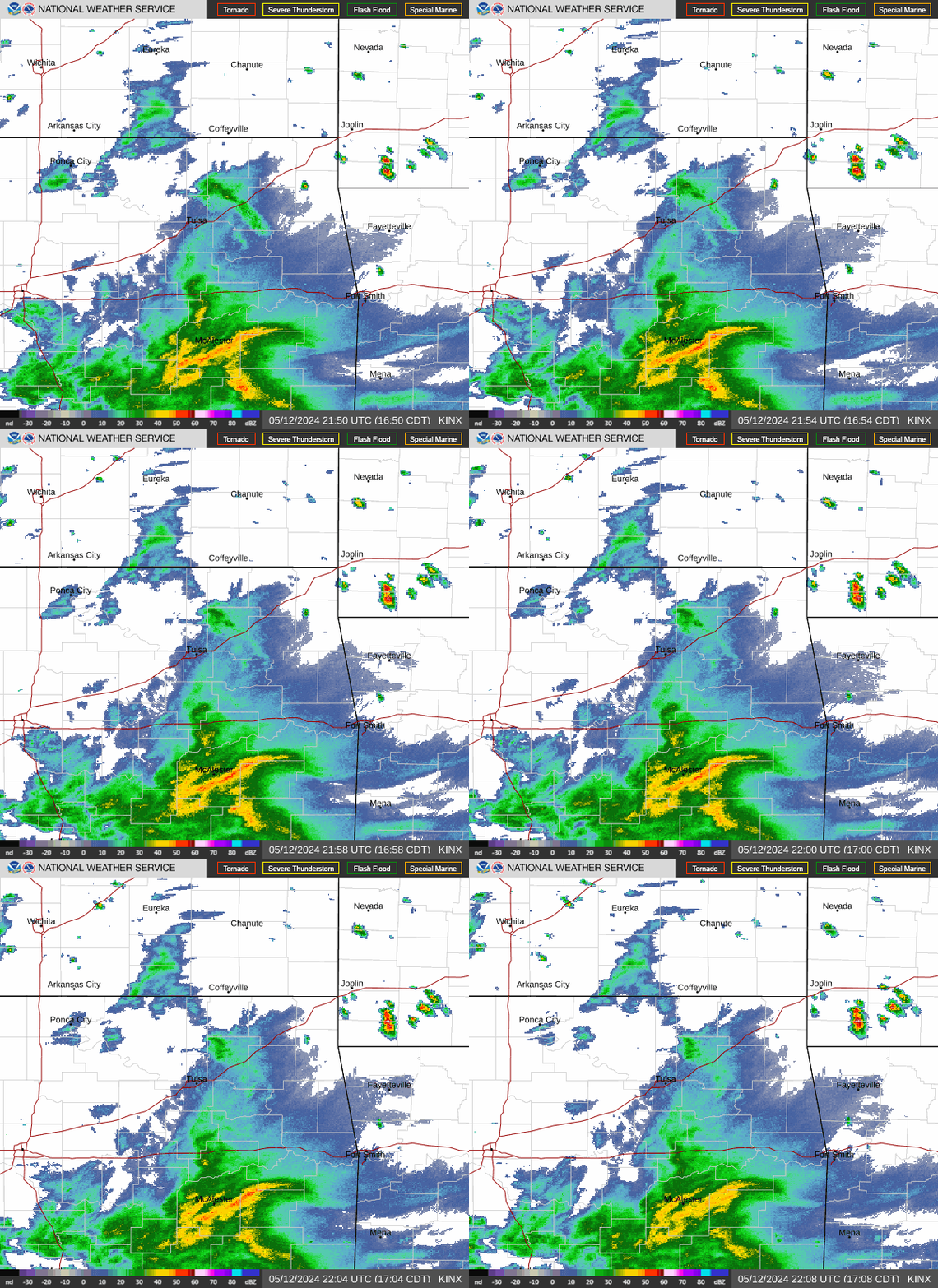 Tulsa Radar
  Weather Map
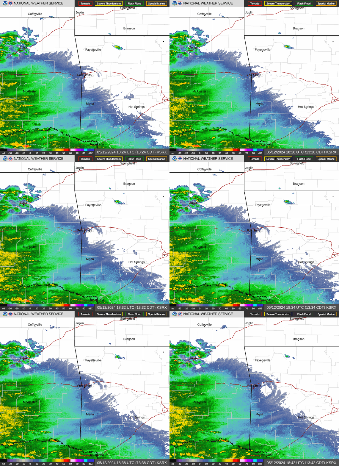 Fort Smith Radar
 Follow us on X
 Follow us on Facebook
 Follow us on YouTube
 TSA RSS Feed