National Weather Service United States Department of Commerce

Heat Builds in the West; Extremely Critical Fire Weather in the Northwest

A heat wave over the Southwest will intensify this week, peaking and expanding into the Intermountain West and northern High Plains this weekend. Critical to extremely critical fire weather conditions are forecast from the Northwest and the northern Great Basin this weekend. Particularly Dangerous Situation Red Flag Warnings have been issued. Read More >

Click a location below for detailed forecast.

Last Map Update: Fri, Jul 31, 2026 at 5:52:33 pm CDT

Dangerous heat conditions are forecast again Friday across much of the region. An Extreme Heat Warning and Heat Advisory are in effect from Noon to 9 PM for heat index values from 105 to 115 degrees across eastern Oklahoma and west-central Arkansas.
Dangerous heat continues Friday with heat index values of 105 to 115 degrees. Slightly cooler conditions will develop this weekend areawide.
During Extreme Heat: Find air conditioning. Avoid strenuous activities. Wear light clothing. Check on family members and neighbors. Drink plenty of water. Watch for heat cramps, exhaustion, and stroke. Never leave people or pets in a closed car.
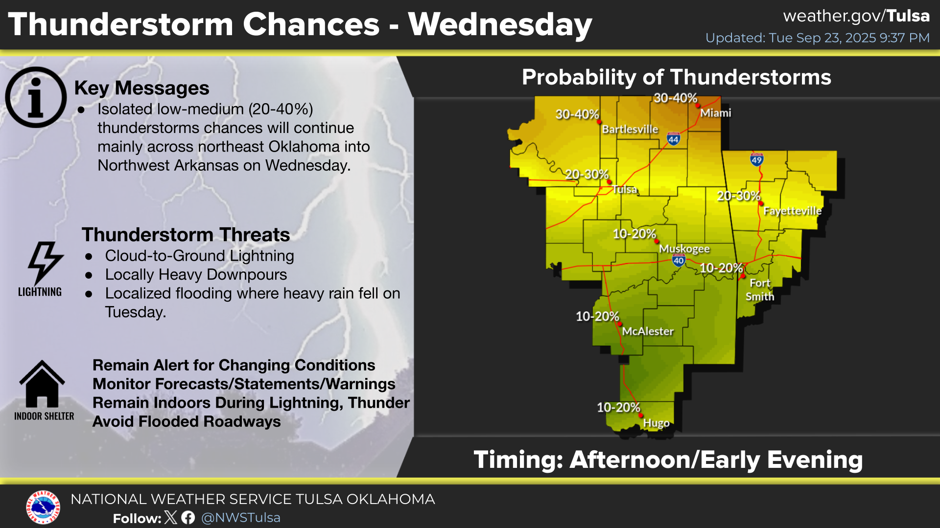
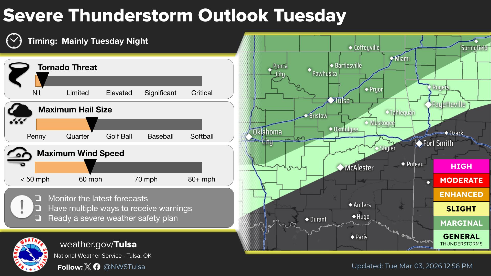
Scattered afternoon and evening thunderstorms are forecast for Friday. The strongest storms will be capable of damaging winds and large hail. Severe storm chances diminish after midnight.
Scattered thunderstorms are forecast to develop by mid to late afternoon and continue through the late evening hours. The strongest storms will be capable of severe weather.
Widespread dangerous heat continues today and Friday . A few showers and storms may also occur today and tomorrow. Cooler and drier weather develops this weekend.
Latest Text Product Selector (Selected product opens in a new window)

Decision Support Winter Hazards Observations Climate Hydrology
 
 
Social Media Satellite Fire Weather Weather Radio Spotter Training Text Products
 
 
Models