National Weather Service United States Department of Commerce

Atmospheric River to Impact the Northwest; Windy Conditions in the Northeast

A strong atmospheric river moving into northern California later today will bring a threat for moderate to heavy rainfall and flooding, gusty to high winds, and mountain snows for parts of the Northwest U.S. through Wednesday. Gusty winds and isolated showers are expected today in the Northeast U.S. behind a cold front. Wind Advisories have been issued. Read More >

Click a location below for detailed forecast.

Last Map Update: Tue, Nov 4, 2025 at 12:06:42 pm CST
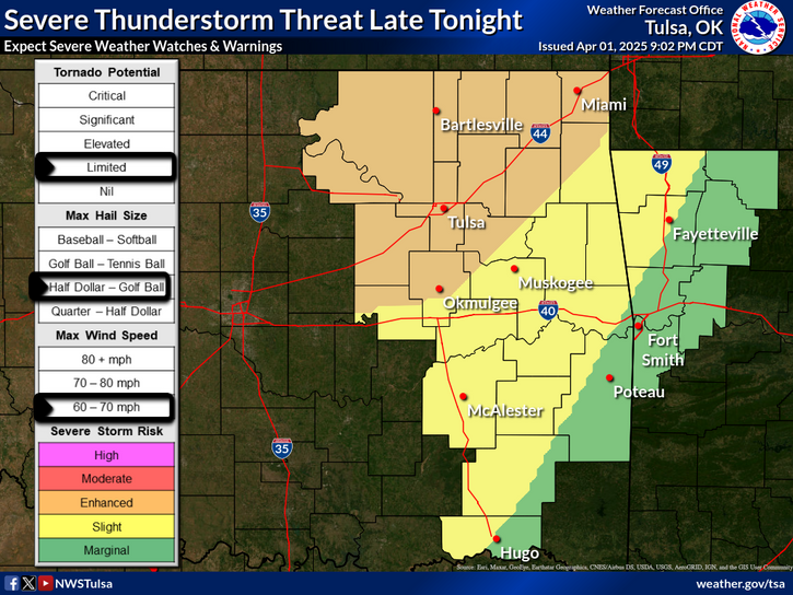
Gusty southerly winds of 20 to 30 mph, unseasonably warm temperatures, and relative humidity values from 30 to 40 percent Tuesday afternoon will increase fire weather concerns across eastern Oklahoma and northwestern Arkansas. However, the worst combination of these fire weather conditions is expected to occur in areas where fuels are currently less receptive to fire (northeastern Oklahoma). As such, there is a limited concern over southeastern Oklahoma where fuels are more receptive to fire, and weather conditions are expected to result in enhanced spread conditions.
Temperatures are expected to stay mild into this weekend with mostly dry conditions through that period. Another cool down is expected for the latter half of the weekend into next week.
Latest Text Product Selector (Selected product opens in a new window)

Decision Support Winter Hazards Observations Climate Hydrology
 
 
Social Media Satellite Fire Weather Weather Radio Spotter Training Text Products
 
 
Models