
The nor’easter will weaken tonight, easing beach conditions and coastal flooding, though locally heavy rain will continue in parts of the Mid-Atlantic and New England into Monday. Hurricane Nolo continues to bring strong winds and large waves to Hawaii, though heavy rain and flooding threats are diminishing as it moves away. A multi-day rain event will return to the Four Corners region. Read More >
Last Map Update: Sun, Sep 27, 2026 at 3:52:45 pm CDT
| Latest Text Product Selector (Selected product opens in a new window) | |
 |
 |
 |
 |
 |
 |
| Decision Support | Winter | Hazards | Observations | Climate | Hydrology |
 |
 |
 |
 |
 |
 |
| Social Media | Satellite | Fire Weather | Weather Radio | Spotter Training | Text Products |
 |
|||||
| Models | |||||





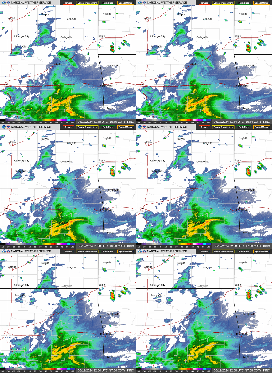 Tulsa Radar
  Weather Map
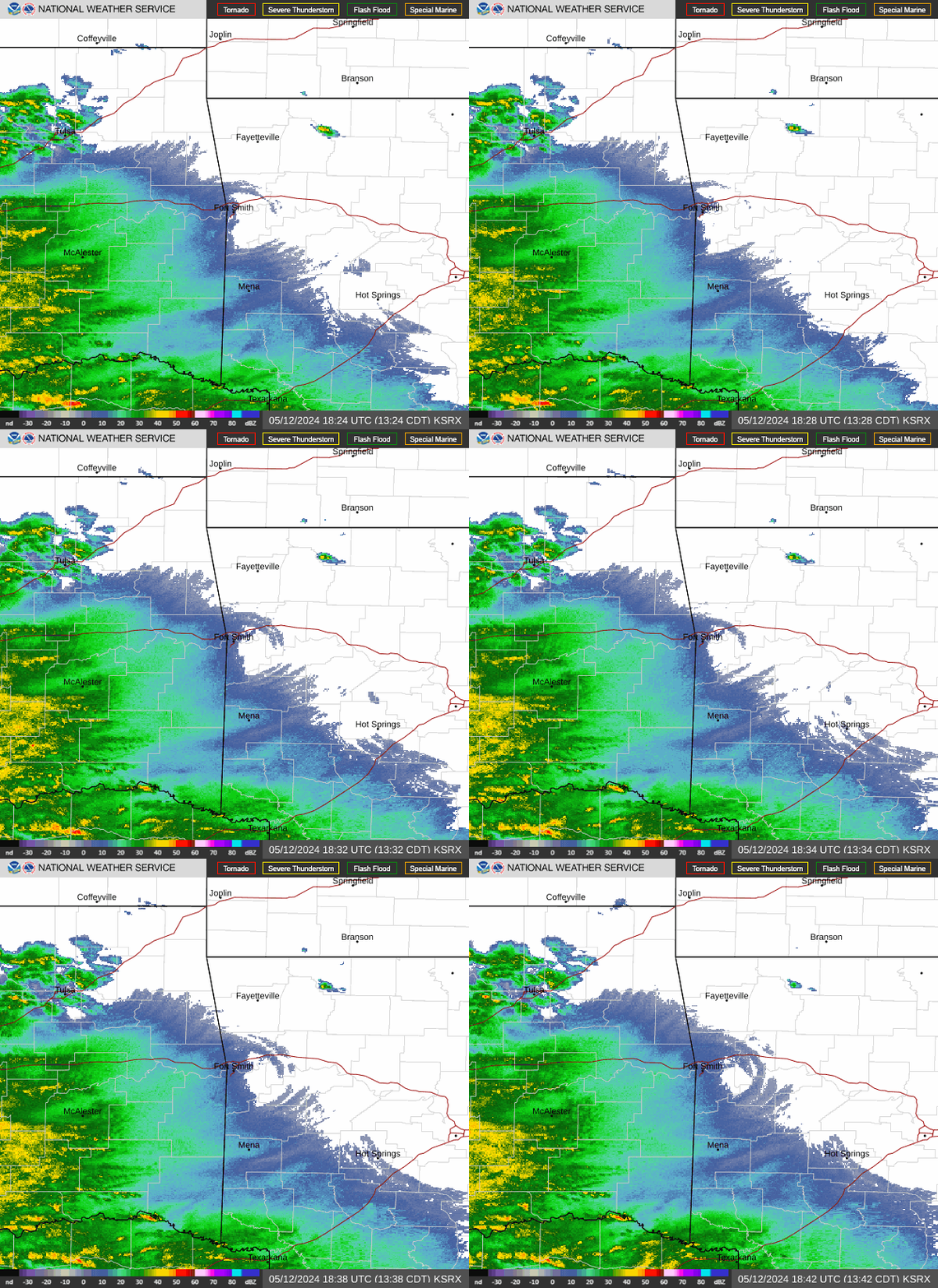 Fort Smith Radar
 Follow us on X
 Follow us on Facebook
 Follow us on YouTube
 TSA RSS Feed