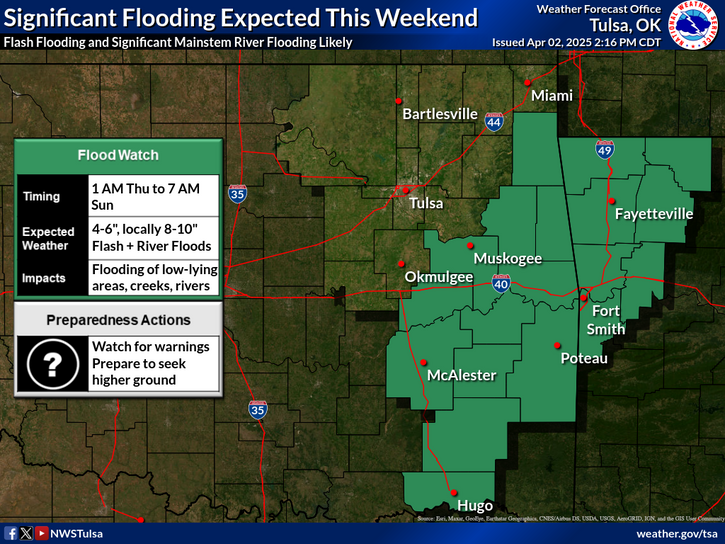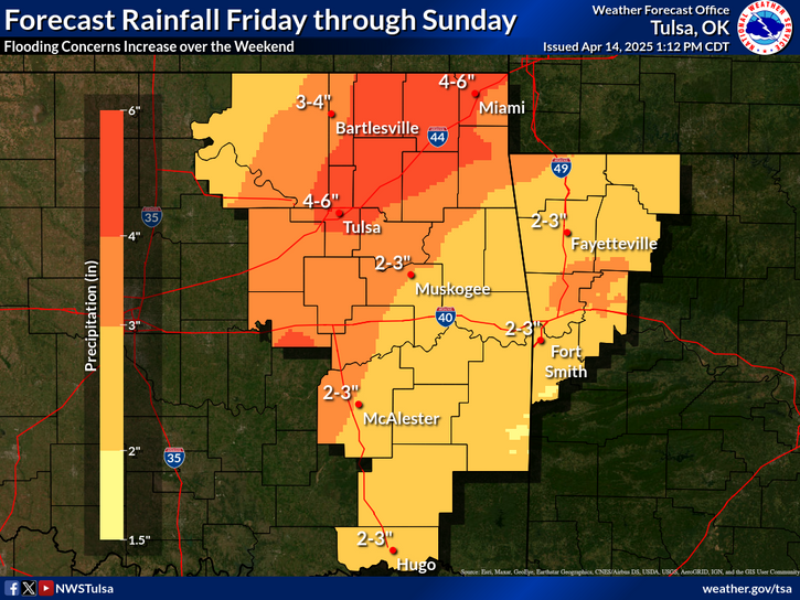
Scattered areas of heavy rain continue to produce isolated flash flooding across the Florida peninsula. Anomalous moisture will combine with a cold front and will bring heavy rain and scattered flash flooding across the Mid-South, Ohio and Tennessee Valleys today and Tuesday. Above average temperatures will continue to be found ahead of the cold front from the Midwest to the Northeast. Read More >
Last Map Update: Sun, Oct 5, 2025 at 10:20:21 pm CDT


| Latest Text Product Selector (Selected product opens in a new window) | |
 |
 |
 |
 |
 |
 |
| Decision Support | Winter | Hazards | Observations | Climate | Hydrology |
 |
 |
 |
 |
 |
 |
| Social Media | Satellite | Fire Weather | Weather Radio | Spotter Training | Text Products |
 |
|||||
| Models | |||||