National Weather Service United States Department of Commerce

Heavy Rainfall for Portions of the West and Southern Plains; Dangerous Heat for the Northwest

Monsoonal flow coinciding with a frontal boundary will focus more showers and thunderstorms across the central Great Basin, central Rockies, Southwest into the Southern Plains. Heavy rainfall may bring about instances of flash flooding. Meanwhile, record setting heat continues for the Pacific Northwest through Monday. Heat combining with dry conditions could allow for any fires to quickly spread. Read More >

Click a location below for detailed forecast.

Last Map Update: Sun, Aug 24, 2025 at 6:21:10 pm CDT
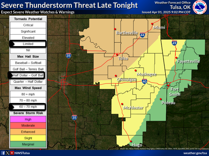
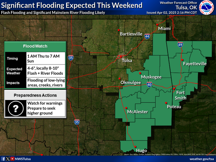
Multiple rounds of showers and thunderstorms are expected this week across eastern Oklahoma and northwest and west central Arkansas, including the potential for periods of locally heavy rainfall, which will increase the risk of flooding. At this time, the greatest risk of heavy rainfall and potential flooding looks to be Monday through Monday night, and again Thursday into Friday. Continue to monitor forecasts this week, especially if you live in a flood prone area.
Seasonably hot weather will continue Sunday across eastern Oklahoma and northwest Arkansas, with afternoon heat indices ranging from 85 to near 100 degrees across the area. A major change in the weather pattern will result in much cooler temperatures beginning Monday and continuing into next weekend, as well as a period of unsettled weather, with moderate to high chances of showers and thunderstorms most days this week.
Latest Text Product Selector (Selected product opens in a new window)

Decision Support Winter Hazards Observations Climate Hydrology
 
 
Social Media Satellite Fire Weather Weather Radio Spotter Training Text Products
 
 
Models