
Flash flooding threatens areas from the Tennessee Valley to the Carolinas as storms repeat along a stalled front. Monsoonal storms may trigger flooding in the Southwest. Dangerous heat expands across the Desert Southwest, Plains, mid-Mississippi Valley and Southern Tier. Critical fire weather for interior Pacific Northwest. Cooler, drier air brings brief relief to the Great Lakes and Northeast. Read More >
HTSDefault Runway is 12/30 |
 |
Latest HTS 5-minute Observations
|
6 HR Forecast Surface Map |
12 HR Forecast Surface Map |
|
18 HR Forecast Surface Map |
24 HR Forecast Surface Map |
|
Great Lakes Radar |
Charleston Radar |
Click on images to get the full size graphic
|
| Turbulence | |||
 |
 |
 |
 |
| Turbulence Current | Turbulence +3hr | Turbulence +6hr | Turbulence +9hr |
| Icing | |||
 |
 |
 |
 |
| Icing Current | Icing +3hr | Icing +6hr | Icing +9hr |
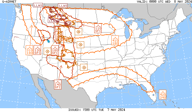
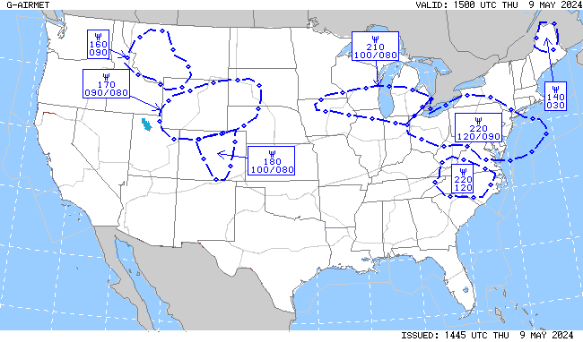
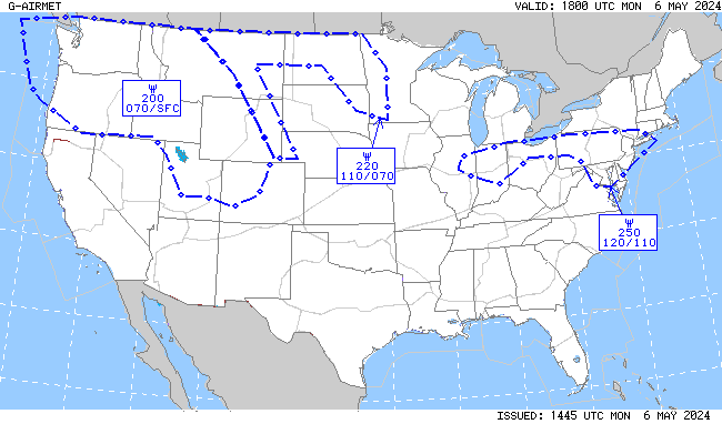
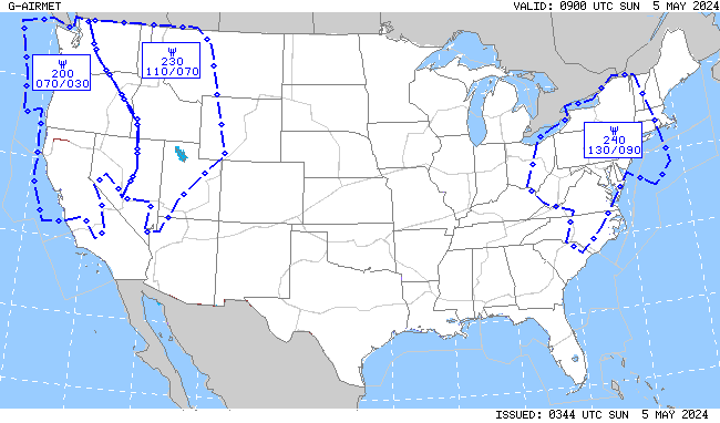
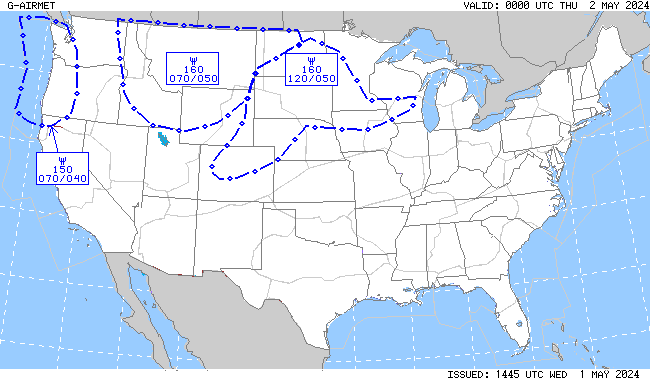
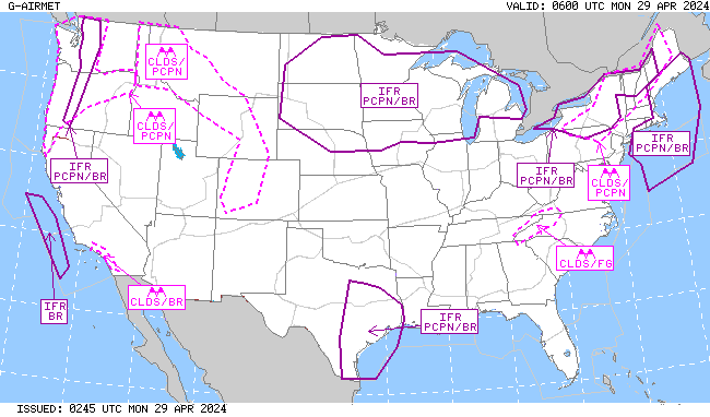
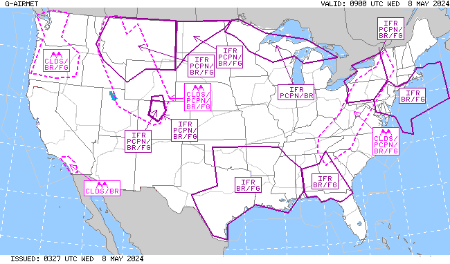
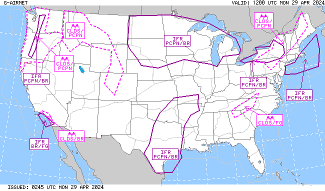
| IFR/MTN OBSC (Mountain Obscuration) | |||
 |
 |
 |
 |
| IFR/MTN OBSC Current | IFR/MTN OSBC +3hr | IFR/MTN OBSC +6hr | IFR/MTN OBSC +9hr |


| NWS Watch, Warning, Advisory Display | ||||||||
| NWS Warnings and Advisories on this map become active links to IWIN products (below): A new browser window will open to display these text products.
|


 Weather Story
 Weather Map