
Dangerous and extreme heat will remain across portions of the southern U.S. through the weekend. A heat wave over the Southwest U.S. will intensify this week, peaking and expanding into the Intermountain West and northern High Plains this weekend. Multiple rounds of thunderstorms will produce heavy to excessive rainfall with significant flash flooding across portions of southern New England. Read More >
Latest IND 5-minute Observations
|
6 HR Forecast Surface Map |
12 HR Forecast Surface Map |
|
18 HR Forecast Surface Map |
24 HR Forecast Surface Map |
|
Great Lakes Radar |
Indianapolis Radar |
0-36 Hours
Interactive Radar Display
Interactive National Radar Display
Click on images to get the full size graphic
|
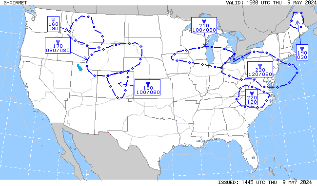
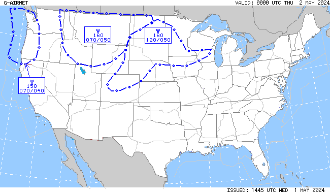
| Turbulence | |||
 |
 |
 |
 |
| Turbulence Current | Turbulence +3hr | Turbulence +6hr | Turbulence +9hr |
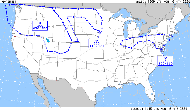
| Icing | |||
 |
 |
 |
 |
| Icing Current | Icing +3hr | Icing +6hr | Icing +9hr |
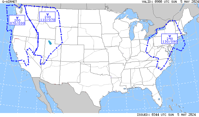
| IFR/MTN OBSC (Mountain Obscuration) | |||
 |
 |
 |
 |
| IFR/MTN OBSC Current | IFR/MTN OSBC +3hr | IFR/MTN OBSC +6hr | IFR/MTN OBSC +9hr |

|
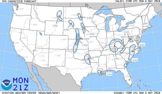
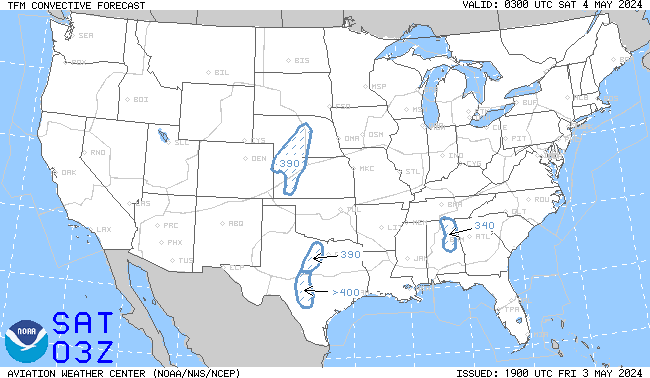
4 HR Forecast |
6 HR Forecast |
|
8 HR Forecast |
TCF Map Legend |

| NWS Watch, Warning, Advisory Display | ||||||||
| NWS Warnings and Advisories on this map become active links to IWIN products (below): A new browser window will open to display these text products.
|
|
|


 Weather Story
 Weather Map