
Scattered thunderstorms with severe gusts, hail and a tornado risk are possible near a cold front from the Ohio Valley to the Mid-Atlantic tonight. Tropical Storm Bertha is expected to bring tropical storm conditions to portions of the Gulf Coast from the panhandle of Florida into Louisiana through Wednesday. Read More >
Latest HUF 5-minute Observations
|
6 HR Forecast Surface Map |
12 HR Forecast Surface Map |
|
18 HR Forecast Surface Map |
24 HR Forecast Surface Map |
|
Great Lakes Radar |
Indianapolis Radar |
0-36 Hours
Interactive Radar Display
Interactive National Radar Display
Click on images to get the full size graphic
|
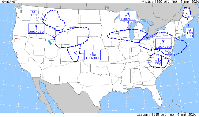
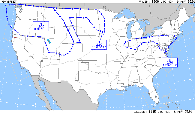
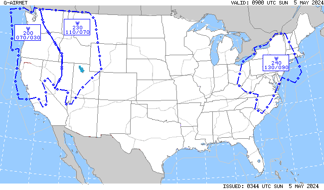
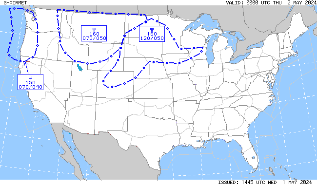
| Turbulence | |||
 |
 |
 |
 |
| Turbulence Current | Turbulence +3hr | Turbulence +6hr | Turbulence +9hr |
| Icing | |||
 |
 |
 |
 |
| Icing Current | Icing +3hr | Icing +6hr | Icing +9hr |
| IFR/MTN OBSC (Mountain Obscuration) | |||
 |
 |
 |
 |
| IFR/MTN OBSC Current | IFR/MTN OSBC +3hr | IFR/MTN OBSC +6hr | IFR/MTN OBSC +9hr |

|
4 HR Forecast |
6 HR Forecast |
|
8 HR Forecast |
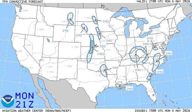
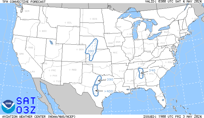
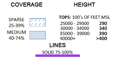
TCF Map Legend |

| NWS Watch, Warning, Advisory Display | ||||||||
| NWS Warnings and Advisories on this map become active links to IWIN products (below): A new browser window will open to display these text products.
|
|
|


 Weather Story
 Weather Map