
Dangerous heat will expand from the Gulf Coast into the Southern Plains and Desert Southwest through week's end. Additional extreme heat impacting the Pacific Northwest will shift to the northern Plains by the weekend. Tropical Storm Bertha is expected to continue to impact portions of the northern Gulf Coast from the western Florida Panhandle to southeastern Louisiana through tonight. Read More >
EVVDefault Runway is 4/22 |
 |
Latest EVV 5-minuteObservations
|
6 HR Forecast Surface Map |
12 HR Forecast Surface Map |
|
18 HR Forecast Surface Map |
24 HR Forecast Surface Map |
|
Great Lakes Radar |
Evansville Radar |
Click on images to get the full size graphic
|
| Turbulence | |||
 |
 |
 |
 |
| Turbulence Current | Turbulence +3hr | Turbulence +6hr | Turbulence +9hr |
| Icing | |||
 |
 |
 |
 |
| Icing Current | Icing +3hr | Icing +6hr | Icing +9hr |
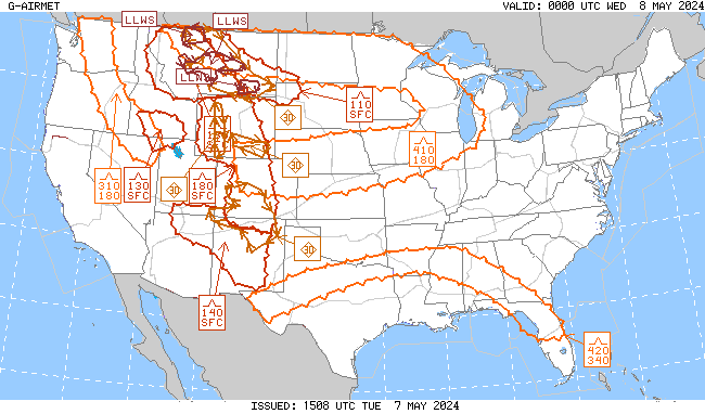
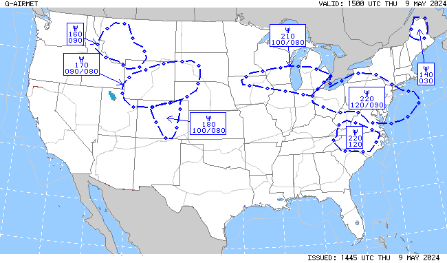
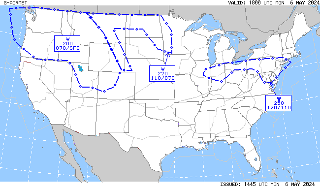
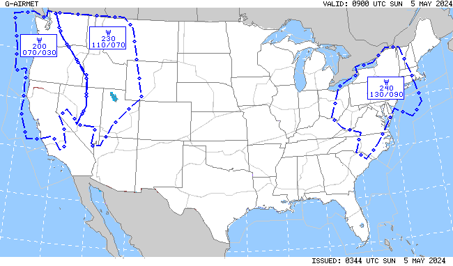
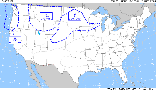
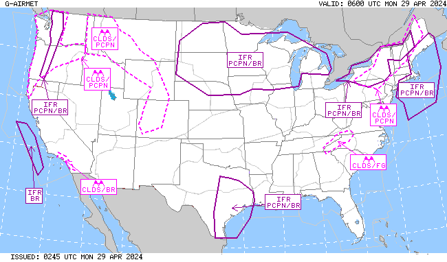
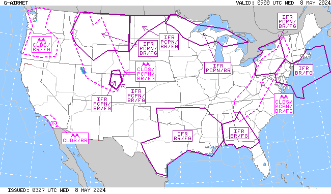
| IFR/MTN OBSC (Mountain Obscuration) | |||
 |
 |
 |
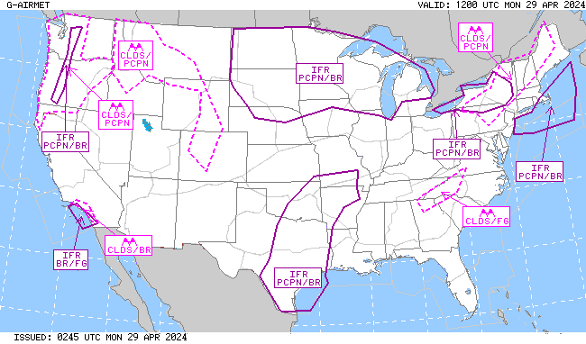 |
| IFR/MTN OBSC Current | IFR/MTN OSBC +3hr | IFR/MTN OBSC +6hr | IFR/MTN OBSC +9hr |


| NWS Watch, Warning, Advisory Display | ||||||||
| NWS Warnings and Advisories on this map become active links to IWIN products (below): A new browser window will open to display these text products.
|


 Weather Story
 Weather Map