
Active weather returns this week as the first in a series of fronts arrives late tonight into Monday. This front will be rather weak compared to the Tuesday and late week systems. Expect increasing winds and light to moderate rain along/west of the Cascades into Monday. Late Tuesday into Wednesday, a stronger front arrives with gusty winds area wide, strongest along the coast and east of the Cascades (damaging winds possible). Widespread rainfall is also expected, heaviest along the coast and Cascades. With snow levels remaining high (6000-8000 ft), winter impacts are minimal at this time. Showers linger into Wednesday and snow levels lower to around 4500-5000 ft, which could bring some light snow to the Cascades. An atmospheric river arrives on Thursday, bringing another round of strong winds and moderate to heavy precipitation, both of which are expected to last longer than the Tuesday front. Snow levels rise again to 6000-7000 ft so winter weather impacts will be minimal with the heaviest precipitation which expected through Thursday. Precipitation intensity winds down on Friday, but snow levels lower to around 35000-4000 ft Friday night, which could bring some minor snow impacts to the Cascades and East Side areas into Saturday morning. Gusty winds will make for difficult driving conditions and some power outages may be possible. Currently, there is little to no flooding concerns due to low rivers and little to no snowpack, though we may need to monitor the Coquille River towards the end of the week. Ponding on roadways is possible during periods of heavy rain. Stay tuned for updates as details are refined over the coming days.


 Precipitation Tracker
 Graphical Hazards Outlook
 RADAR and Satellite
 Forecast Discussion
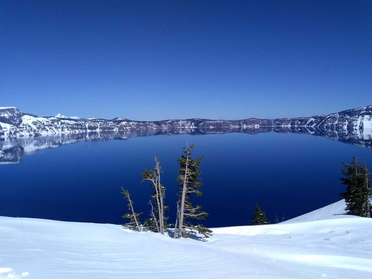 Snowfall and Depth With Crater Lake Details
 Avalanche Guidance
 NESDIS Geocolor
 Weather Map
 Forecast Weather Tables
 Marine
 Fire Weather
 Crater Chronicle and Monthly Climate Summaries
 GOES 18 Water Vapor Imagery
 Mountain Pass Forecasts
 Local Climate Data
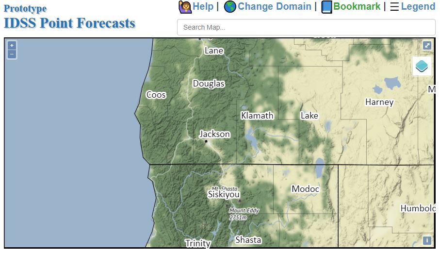 Alternate Point Forecast