
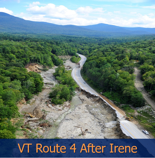
| What is SKYWARN™? In most years, thunderstorms, tornadoes and lightning cause hundreds of injuries and deaths and billions in property and crop damages. To obtain critical weather information, the National Weather Service (NWS) established SKYWARN® with partner organizations. SKYWARN® is a volunteer program with between 350,000 and 400,000 trained severe weather spotters. These volunteers help keep their local communities safe by providing timely and accurate reports of severe weather to the National Weather Service. Although SKYWARN® spotters provide essential information for all types of weather hazards, the focus is reporting on severe local thunderstorms. In an average year, the United States experiences more than 10,000 severe thunderstorms, 5,000 floods and more than 1,000 tornadoes. |
|
Since the program started in the 1970s, the information provided by SKYWARN® spotters, coupled with Doppler radar technology, improved satellite and other data, has enabled NWS to issue more timely and accurate warnings for tornadoes, severe thunderstorms and flash floods. SKYWARN® storm spotters form the nation's first line of defense against severe weather. There can be no finer reward than to know that your efforts have given your family and neighbors the precious gift of time--minutes that can help save lives. NWS encourages anyone with an interest in public service to join the SKYWARN® program. Volunteers include police and fire personnel, dispatchers, EMS workers, public utility workers and other concerned private citizens. Individuals affiliated with hospitals, schools, churches and nursing homes or who have a responsibility for protecting others are encouraged to become a spotter.
|
 |
Spring 2024 Weather Spotter Training Sessions
| Date | Time | Location | Link |
| May 1, 2024 | 7pm-9pm | Slingerlands Firehouse - 1520 New Scotland Road, Slingerlands, NY 12159 | Register here! |
| May 6, 2024 | 7pm-9pm | Virtual - GoToWebinar | Register here! |
| May 9, 2024 | 6pm-8pm | Town of German Flatts Building - 555 State Route 5s, Mohawk, NY 13407 | Register here! |
| May 14, 2024 | 1pm-3pm | Virtual - GoToWebinar | Register here! |
| May 20, 2024 | 7pm-9pm | Virtual - GoToWebinar | Register here! |
| May 31, 2024 | 6pm-8pm | SUNY New Paltz (Lecture Center Room 102) - Sojourner Way, New Paltz, NY 12561 | Register here! |
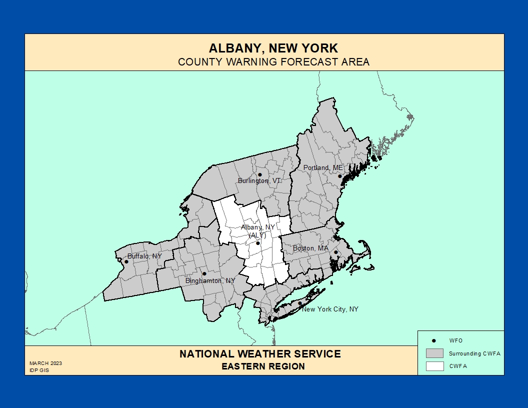
| Forecasters from the National Weather Service (NWS) in Albany, NY conduct storm spotter training sessions each year to help prepare spotters for the upcoming severe and winter weather seasons. These sessions are free and open to anyone who is interested in learning about hazardous weather and the role of a spotter. There are some eligibility requirements to be a spotter: You must be able to observe the weather, be 16 years or older and need access to a phone to call in reports, access to the internet to submit reports via email or social media, or be able to report information through the Amateur Radio Network. Our live training sessions are approximately 1 to 1.5 hours in length, and once you complete the training, you will be an official SKYWARN™ spotter and given a spotter certificate. This goal of the training is to train spotters to assist local officials and the NWS with early detection of hazardous weather, and provide ground truth during severe and winter weather events. The learning objectives of our live and online webinar training sessions are:
|
 |
 |
SKYWARN™ volunteers also help the NWS by reporting winter weather, flash flooding, etc., according to the established criteria. It must be stressed that we are looking for reliable and objective reports. When snowfall reports are inflated or hail sizes are exaggerated, for example, it can do more harm than good. While not a requirement, it is preferred that our SKYWARN™ volunteers would be available to receive a call from the NWS, in the event we feel that something suspicious is happening in their area. A questionnaire form handed out at the training sessions allows one to give additional information, such as hours of availability, access to rivers/streams, type of weather equipment owned (if applicable), etc. Training sessions are held throughout eastern New York and western New England, typically in the spring and fall months. The latest training dates can be found on the Training Schedule tab just above. One can also find announcements on our website or on social media. |
Please contact us with your completed certificates.
|
HOW TO REPORT: Only when it's safe to so, please use one of the following ways to contact NWS Albany with your storm report:
Remember to include the following information:
Report the location/approximate location of the event. Be sure to distinguish clearly between where you are and where the event is thought to be happening (i.e., "I'm 5 miles north of Saratoga Springs. The tornado looks to be about 5 miles to my northwest"). Be sure that reports that are relayed through multiple sources carry the time of the event, NOT the report time. |
 |
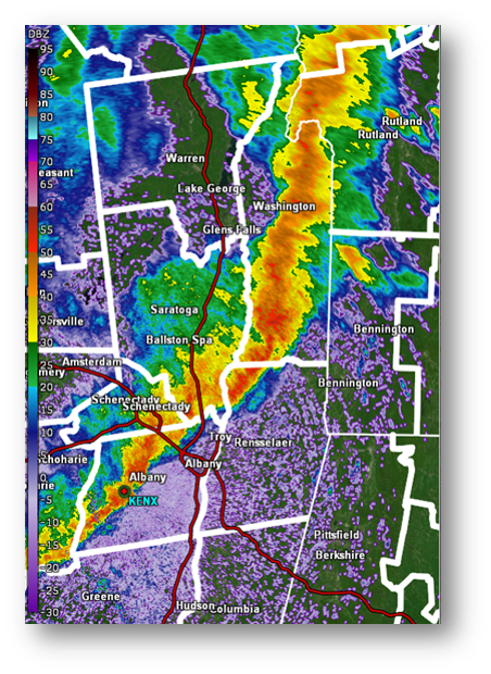
Although reporting criteria may vary slightly depending on the spotter network and local needs, the significant weather elements below (Severe, Hail, Wind, Winter) are ones the National Weather Service (NWS) would like to know about as soon as possible. Again, reports should provide as much detail as possible to describe the where, when, how, etc., of the event.
Click on each item to view reporting criteria
| Weather Event | Report Criteria | What Specifically to Report |
|---|---|---|
| TORNADO | What damage did you observe? How long was it on the ground? When did it start and end? How wide was it? How far did it travel if known? |
|
| FUNNEL CLOUD | Organized, persistent, sustained rotation | |
| WALL CLOUD | Organized, persistent, sustained rotation | |
| HAIL | Pea-size or larger | Report the largest size hailstone |
| WIND GUSTS | 40 mph or higher | Specify estimate or measurement |
| RAINFALL | 1 inch or greater in an hour, and every inch thereafter 2 inches or greater storm total |
|
| FLOODING | Report flooded roadways, river and streams, giving approximate water depth. Is it standing water or is it flowing? Is the water level continuing to rise, staying steady or falling? Is the flooding occurring in a known flood prone area? Any damage from the flooding or mudslides? |
|
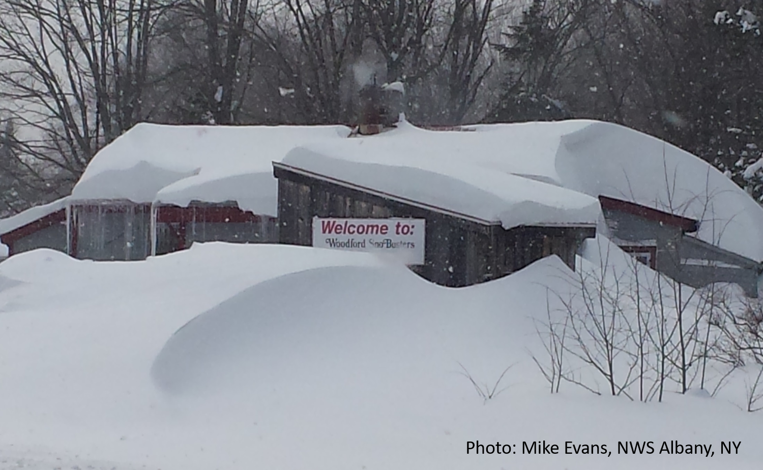
| WINTER WEATHER | Precipitation Type (Snow, Sleet, Freezing Rain) & Amount |
|
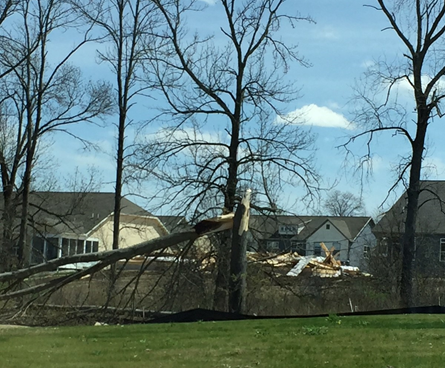
| STORM DAMAGE | Damage to structures (roof, siding, windows, etc) Damage to vehicles (from hail and/or wind) Trees or large limbs down Power/telephone poles and/or lines down Damage to farm equipment, machinery, etc. |
| Hail Type | Hail Size |
|---|---|
| Pea | 0.25 inch |
| Half-inch | 0.50 inch |
| Dime | 0.75 inch |
| Nickel | 0.88 inch |
| Quarter | 1.00 inch |
| Half Dollar | 1.25 inch |
| Ping Pong Ball | 1.50 inch |
| Golf Ball | 1.75 inch |
| Hen Egg | 2.00 inch |
| Tennis Ball | 2.50 inch |
| Baseball | 2.75 inch |
| Tea Cup | 3.00 inch |
| Grapefruit | 4.00 inch |
| Softball | 4.50 inch |
There are many types of flooding hazards.
| Weather Event | Criteria |
|---|---|
| Flash Flooding |
|
| River Flooding |
|
| Ice Jam Flooding |
|
| Wind Speed | Typically Observed Damage |
|---|---|
| 30-44 mph (26-39 kt) | Whole trees in motion. Inconvenient walking into the wind. Light-weight loose objects (e.g., lawn furniture) tossed or toppled. |
| 45-57 mph (39-49 kt) | Large trees bend; twigs, small limbs break and a few larger dead or weak branches may break. Old/weak structures (e.g., sheds, barns) may sustain minor damage (roof, doors). Buildings partially under construction may be damaged. A few loose shingles removed from houses. |
| 58-74 mph (50-64 kt) | Large limbs break; shallow rooted trees pushed over. Semi-trucks overturned. More significant damage to old/weak structures. Shingles, awnings removed from houses; damage to chimneys and antennas. |
| 75-89 mph (65-77 kt) | Widespread damage to trees with large limbs down or trees broken/uprooted. Mobile homes may be pushed off foundation or overturned. Roof may be partially peeled off industrial/commercial/ warehouse buildings. Some minor roof damage to homes. Weak structures (e.g., farm buildings, airplane hangars) may be severely damaged. |
| 90+ mph (78+ kt) | Many large trees broken and uprooted. Mobile homes damaged. Roofs partially peeled off homes and buildings. Moving automobiles pushed off the road. Barns, sheds demolished. |
| Weather Event | Criteria |
|---|---|
| Winter Weather |
|
| Flooding |
|
| Snowfall |
|
Below are few resources hosted locally at the National Weather Service in Albany, NY, as well as National and Amateur Radio resources concerning SKYWARN™.
Storm Prediction Center | National Hurricane Center | Weather Prediction Center | Northeast River Forecast Center | Climate Prediction Center


 Follow us on YouTube