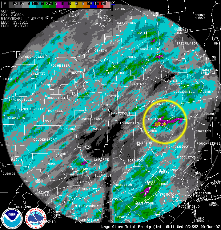
Below in a Storm Total Precipitation (STP) image from the National Weather Service radar at Binghamton, NY. The image shows the storm total rainfall estimates from 11:15 AM EDT June 19, 2007 to 2:01 AM EDT June 20, 2007. The radar estimated between 6 to 8 inches of rainfall. The yellow circle shows where the greatest amount of rainfall fell.
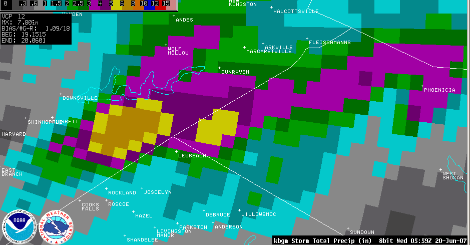
Below is a close up of Storm Total Precipitation for June 19 to 20, 2007 shown above.
This is a 0.5 Base Reflectivity loop from the NWS Binghamton, NY WSR-88D. The loop is from 4:12 PM EDT to 8:57 PM EDT.
The white circle shows the approximate area where the flash flooding occurring.
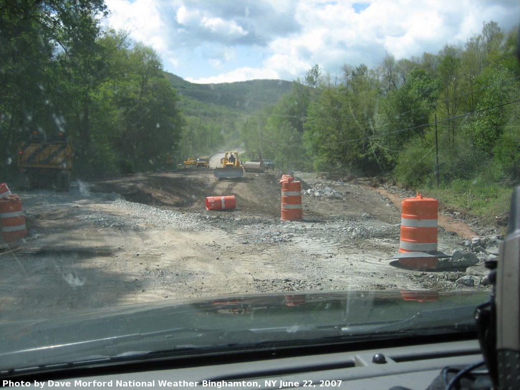
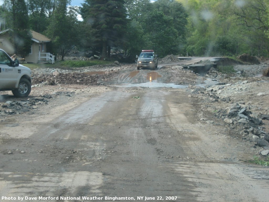
Pictures of some of the flooding that occurred in the area. The following pictures were taken by a National Weather Service Survey Team as they traveled along Route 206 in Delaware County on June 22, 2007. The team consisted of Dave Morford, NWS BGM IMET/Forecaster, and Mike Schaffner, NWS BGM Service Hydrologist. Click on an image for a larger view.
 Private road and bridge washed out. |
 Section of Route 206 washed out. |
 House damaged. |
 Van caught in flash flood. Note the debris trapped beneath the van. |
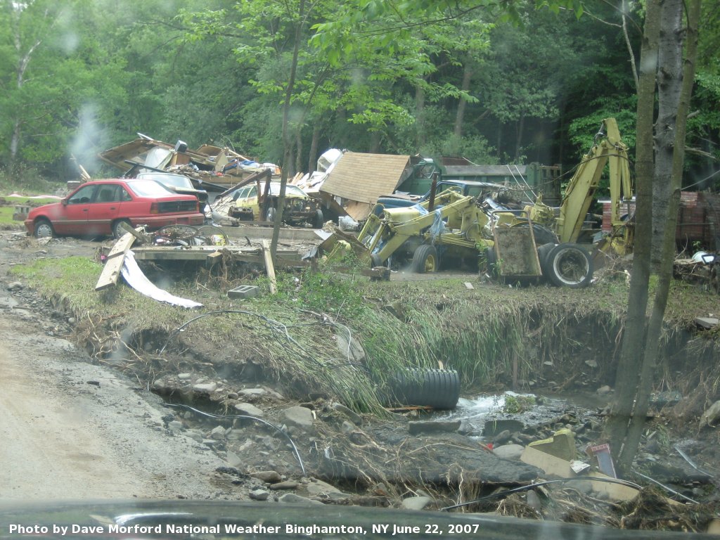
 Flash flood debris. |
 Crossing a stream on Route 206. |
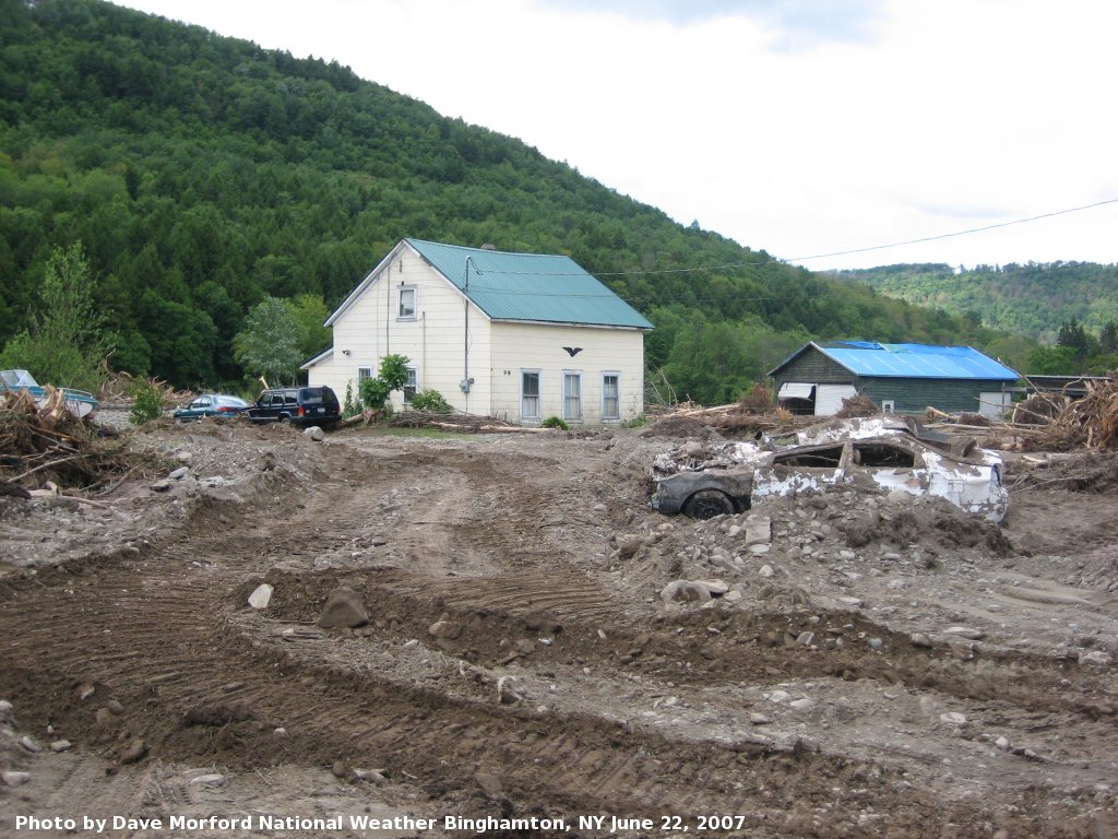
 Damage to a home and vehicle. |
 Damage to barn. |
 Condemned house due to flood damage. |
 Another condemned house due to flood damage. |
 Flood Damage. |
 Damage to truck and mobile home. |
 Home swept away in flood. |
 Flood damge to vehicle and structure. |
 Major damage to a van. |
 Property damage. |
 Mike Schaffner, NWS BGM Service Hydrologist, looking over damage caused by Berry Brook flooding. |
 Flood damage along Holiday Brook. |

