National Weather Service United States Department of Commerce
 
Overview Surface/Upper Air
Photos Snow Totals Other Links
 

Overview

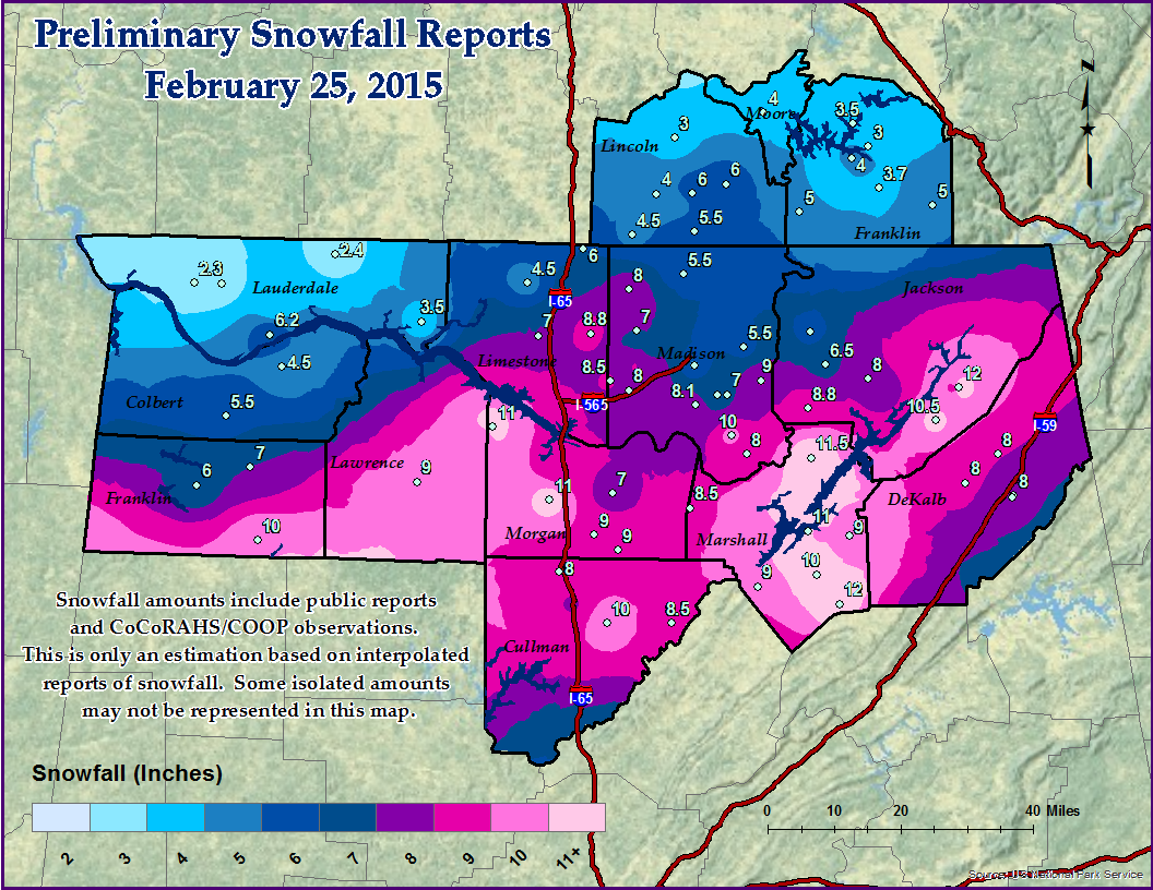
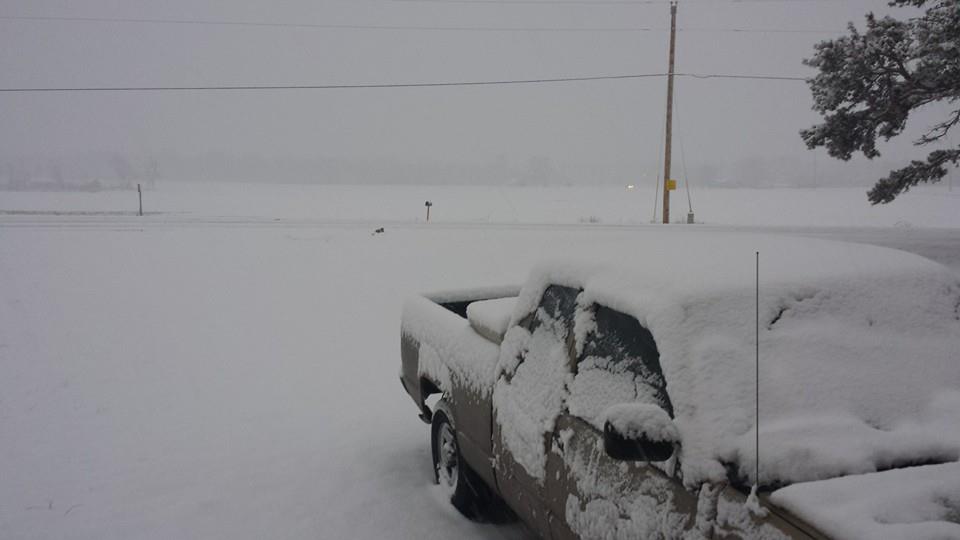
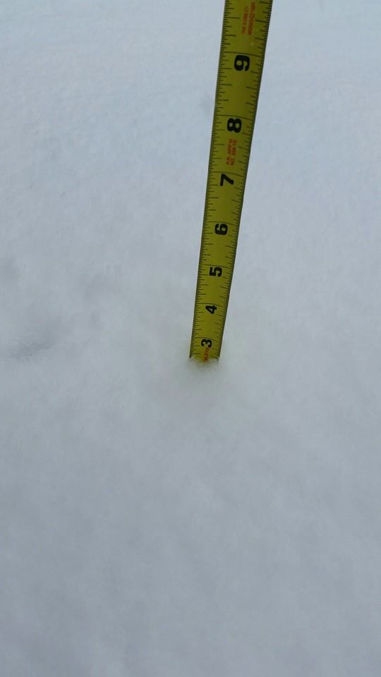
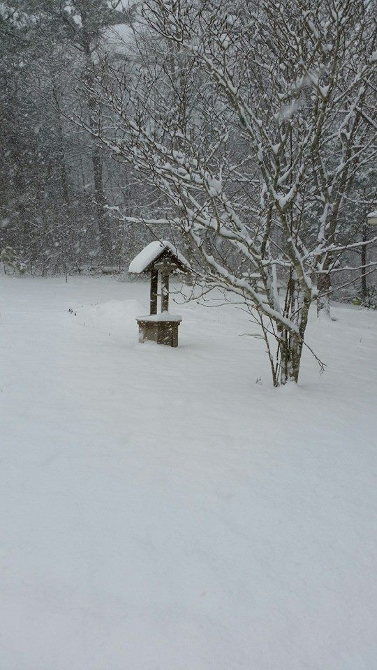
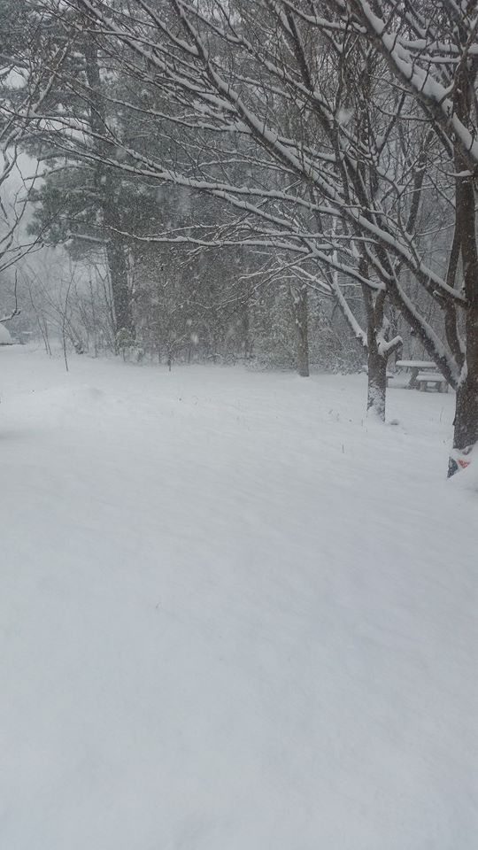
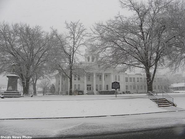
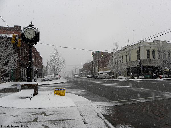
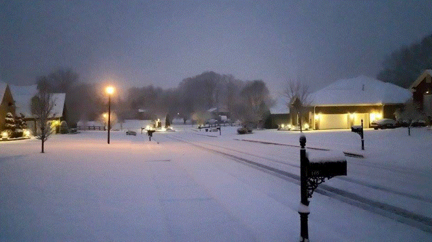
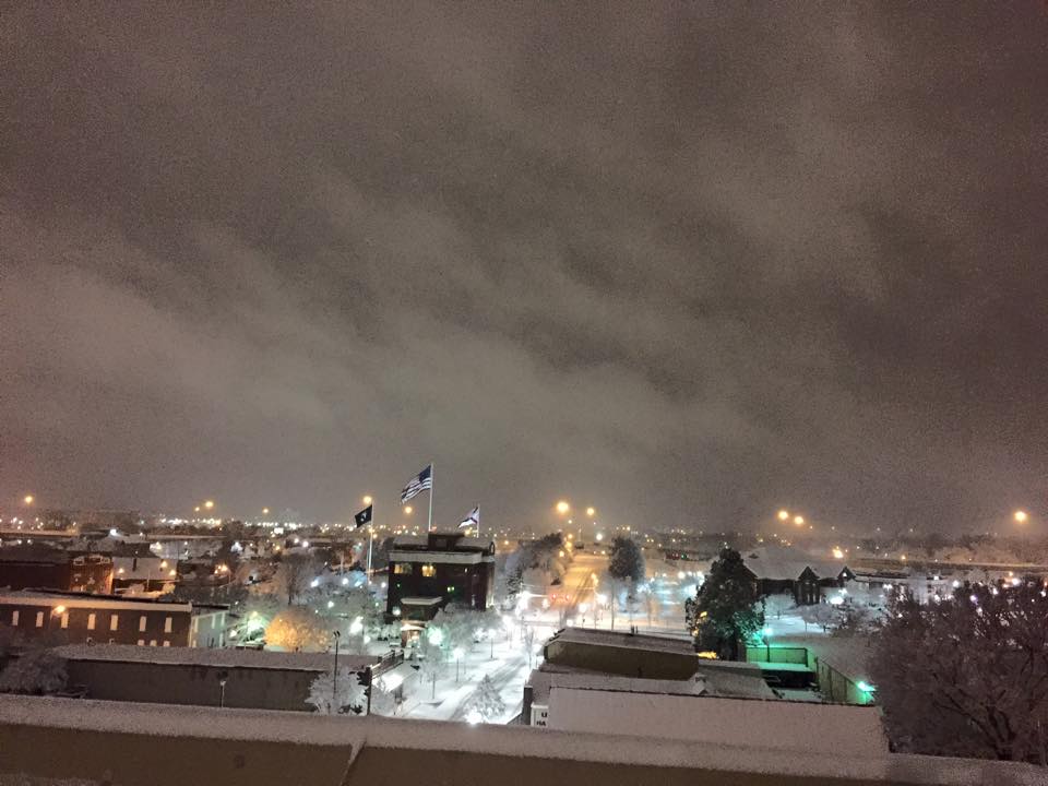
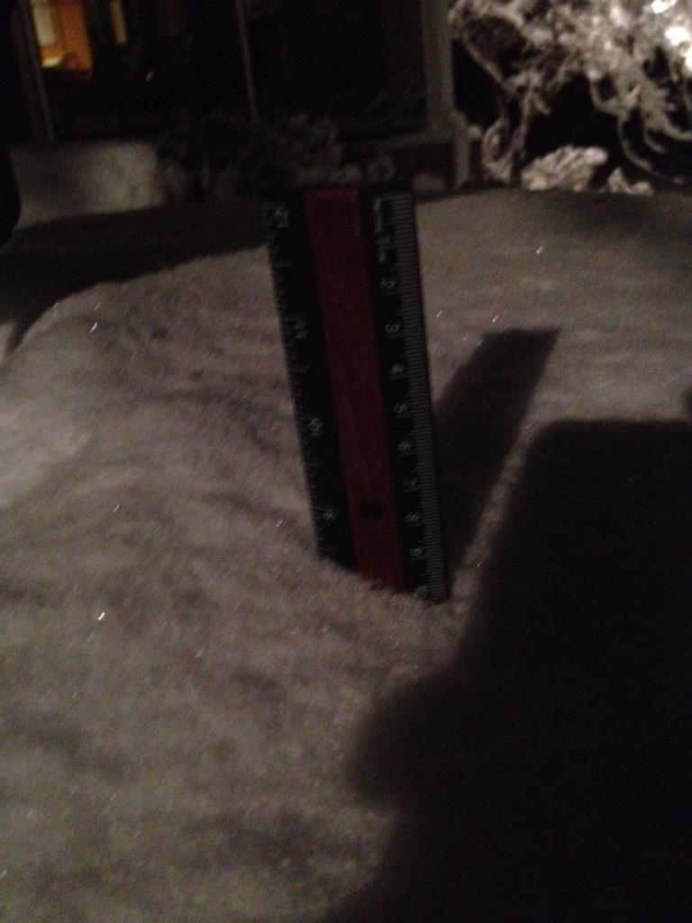
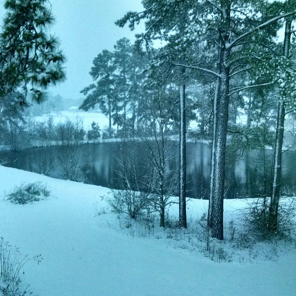
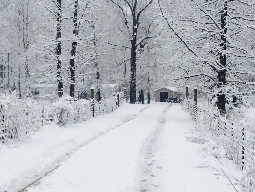
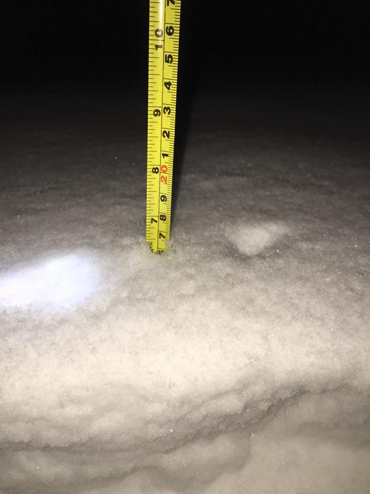
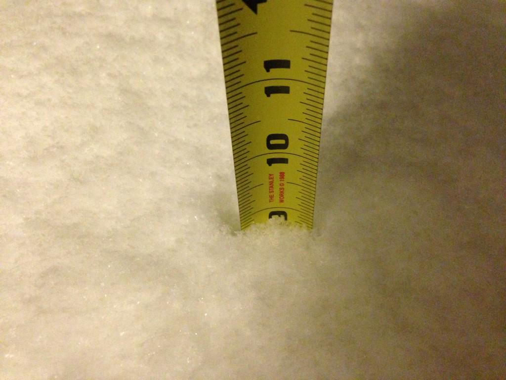
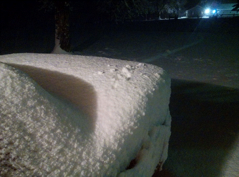
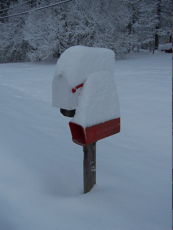
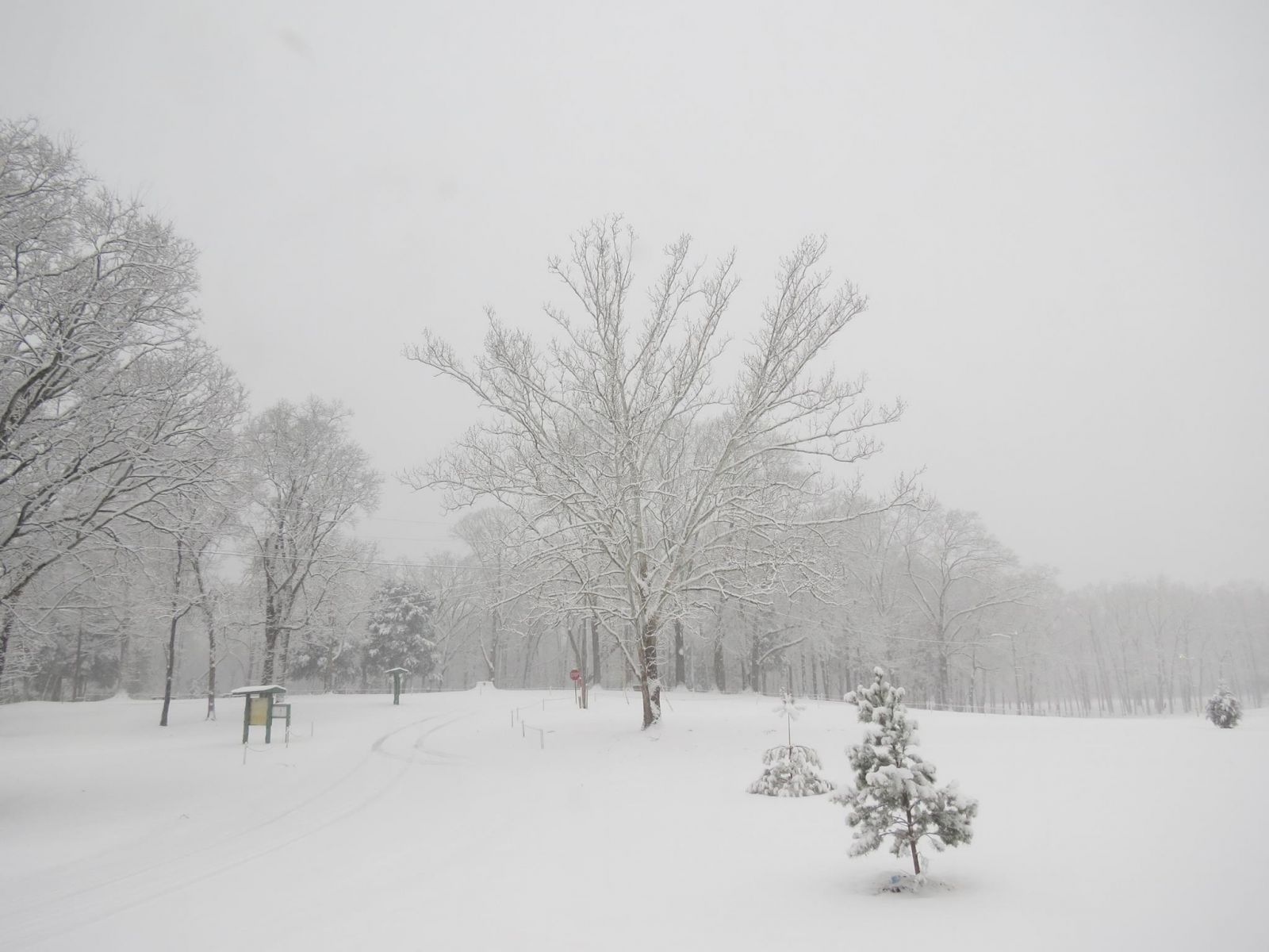
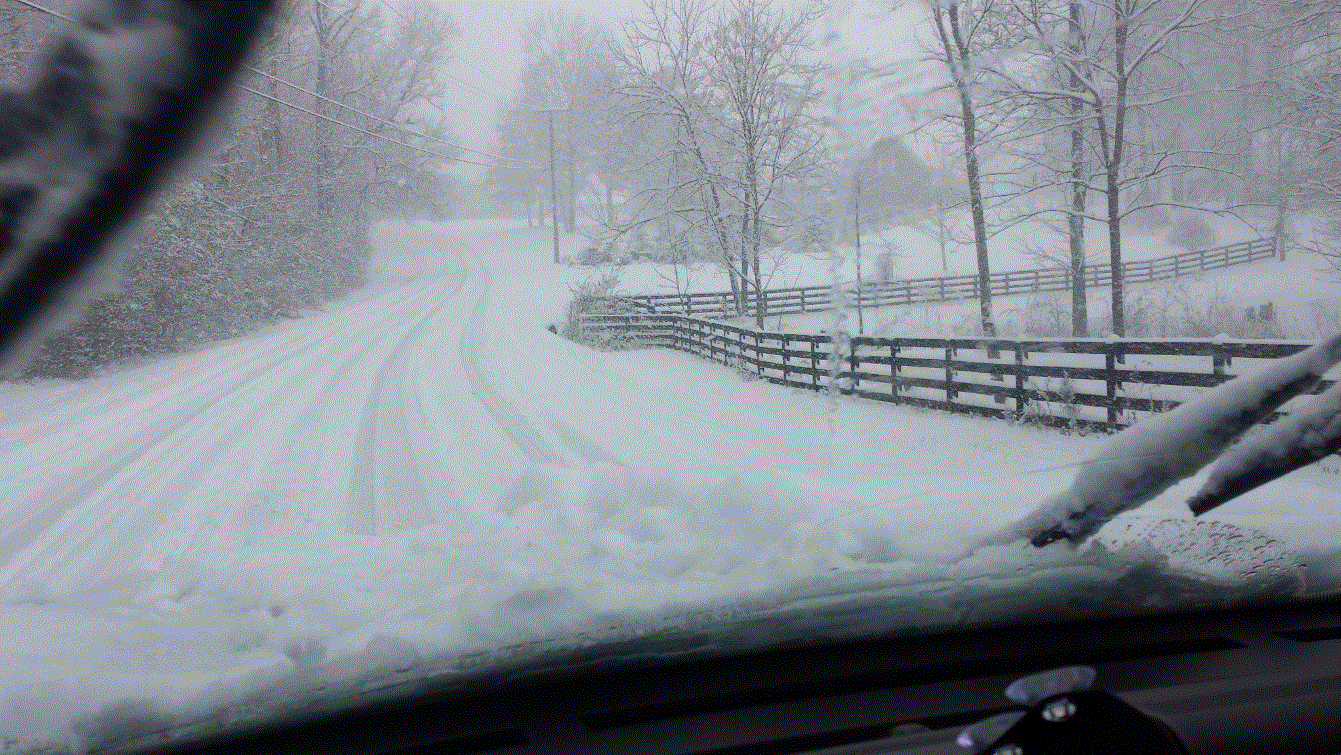
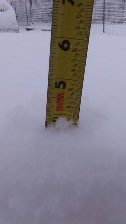
On Wednesday, February 25, 2015, many residents of Alabama experienced one of the largest snow storms on record as over 12 inches of snow were unofficially measured along the Highway 278 corridor in Marion County. In addition, much of the northern two-thirds of the state saw snow during the afternoon and evening hours of the 25th, with totals of 1 and 2 inches near Interstate 20 increasing to between 5 and 12 inches across most of northern Alabama. The exception to these higher amounts were found in Colbert, Lauderdale, and northern Lawrence counties in Alabama, which received between 1 and 6 inches. Two to four inches were common further north in Lincoln, Franklin, and Moore counties in Tennessee, with isolated higher amounts around 5 and 6 inches. The highest unofficial measurement in the state of Alabama came from Guin, Alabama, with 12.7 inches.

A cold front had moved through the region the previous weekend bringing arctic air to the Southeast. Temperatures dropped into the teens and were slow to recover through the first half of the work week due to cloudy skies and several rounds of precipitation Sunday through Tuesday.

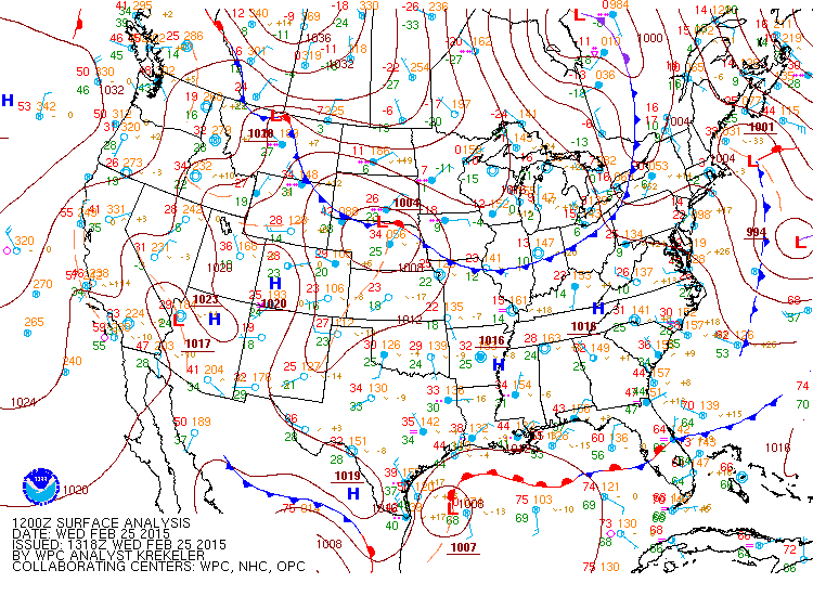
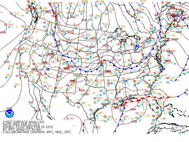
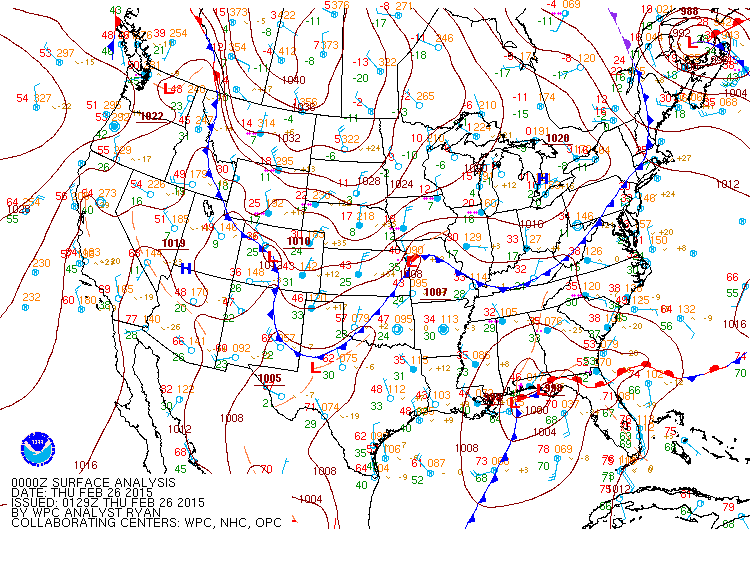
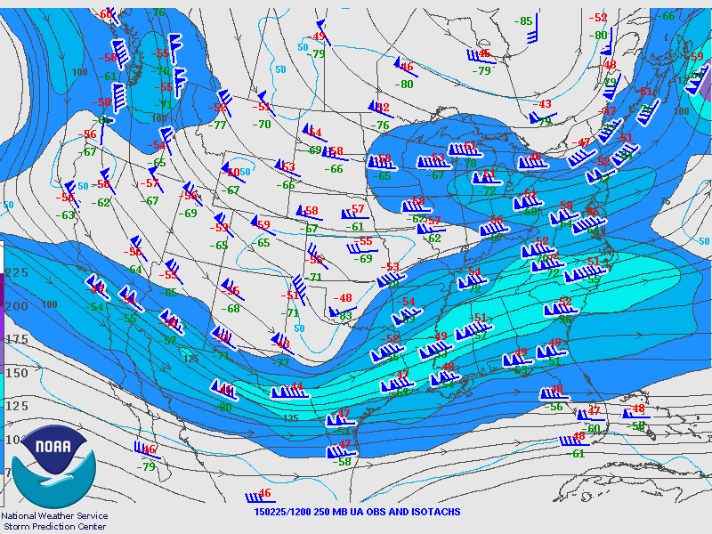
Tuesday night into Wednesday morning,  a 1008 mb area of low pressure developed in the northwestern Gulf of Mexico east of Galveston, TX. This system pushed east by noon to just southwest of New Orleans in the northern Gulf of Mexico. This set the stage for a major winter storm that impacted most of Alabama as the low pressure area moved east northeast across the Jacksonville, Florida area, Wednesday afternoon into Wednesday night. This northern gulf low continued to strengthen through the day into the evening hours, as its central pressure dropped to 1000 mb by 6 PM (only 6 hours!!!!). This system had a tremendous amount of moisture, in fact near the 75th percentile for February.  Combined with the colder air already in place, this system brought the threat for a very heavy snowfall to the northern 2/3 of  the state of Alabama before pushing east into southeastern Georgia by 6 am on Thursday.

One of the interesting things about this storm were the high snowfall rates experienced. Much of the area saw 1 - 2 inches per hour, a rarity for Alabama. The snow was also moisture heavy, making for a very wet and sticky snow, which piled up very quickly. Unfortunately for some, that type of snow also melts very quickly! 

Back to the Top of the Page

 
Snow Totals
Preliminary Snowfall Totals

For a complete list of all snow reports received during/after the event, click here.

Back to the Top of the Page


Photos

NW AL Snow(Huntsville WFO)

Athens
Courtesy of Micheal Becker

Athens
Courtesy of

Phil Campbell
Courtesy of Connie Bolden

Phil Campbell
Courtesy of Connie Bolden

Phil Campbell
Courtesy of Connie Bolden

Phil Campbell
Courtesy of Connie Bolden

Athens, AL
Courtesy of Krissy Hurley

Russellville
Courtesy of Russellville Police Department

Littleville, AL
Courtesy of WHNT 19

Tuscumbia, AL
Courtesy of Shoals News and Channel WHNT 19

Tuscumbia, AL
Courtesy of Shoals News and Channel WHNT 19

Russellville
Courtesy of Shoals News and Channel WHNT 19

Back to the Top of the Page


N Central AL Snow (Huntsville WFO)

Harvest, AL
Courtesy of WHNT 19

Downtown Huntsville
Courtesy of Heather Haley

Downtown Huntsville
Courtesy of Heather Haley

Cullman
Courtesy of Elizabeth McDowell

Downtown Huntsville
Courtesy of Jen Drake

Gurley
Courtesy of Castillo

Cullman, AL
Courtesy of Doug Butts

Falkville, AL
Courtesy of Twitter Handle g4org3hill

Good Hope, AL
Courtesy of Andi Franka

Good Hope
Courtesy of Susan Peek

Madison, ALL
Courtesy of Madison Fire Department

Huntsville, AL
Courtesy of Jeniffer Saari

Gillespie and Wall Triana: Huntsville,AL
Courtesy of 

Eva, AL
Courtesy of Paul Morgan

Trniity, AL
Courtesy of Ken Burrow and WHNT 19

Trinity, AL
Courtesy of WHNT 19

Back to the Top of the Page

NE AL Snow (Huntsville WFO)

Guntersville, AL
Courtesy of Katie Gummerman

Scottsboro, AL
Courtesy of Audrey Broussard

Scottsboro
Courtesy of Dennis Reynolds

Picture of snowfall in the Arab area on Sundown Road

Arab
Courtesy of Channel WHNT 19

Guntersville, AL
Courtesy of Channel WHNT 19


Back to the Top of the Page

S Middle TN (Huntsville WFO)

Decherd, TN
Courtesy of Travis Pack

Back to the Top of the Page


Surface/Upper Air

Surface Charts

Surface Chart at 6am Feb 25th

6am Feb 25th

Surface Chart at 9am Febuary 25th

9am Feb 25th

Surface Chart at 12pm February 25th

12pm Feb 25th

Surface Analysis at 3pm February 25th

3pm Feb 25th

Surface Analysis at 6pm February 25th

6pm Feb 25th

Surface Chart at 9pm February 25th

9pm Feb 25th

Back to the Top of the Page

KBMX Soundings

KBMX Sounding at 12pm February 25th

12pm Feb 25th

KBMX Sounding at 3pm February 25th

3pm Feb 25th

KBMX Sounding at 6pm February 25th

6pm Feb 25th

Back to the Top of the Page

KFFC Soundings

KFFC Sounding at 12pm February 25th (Atlanta)

12pm Feb 25th

KFFC Sounding at 3pm February 25th (Atlanta)

3pm Feb 25th

KFFC Sounding at 6pm February 25th (Atlanta)

6pm Feb 25th

Back to the Top of the Page

KBNA Soundings

KBNA Sounding at 6pm February 25th (Nashville)

12pm Feb 25th

KBNA Sounding at 6am February 26th (Nashville)

6am Feb 26th


Back to the Top of the Page

Upper Air Charts

250mb Chart at 6am February 25th

250mb Chart at 6am Feb 25th

500mb Chart at 6am February 25th

500mb Chart at 6am Feb 25th

850mb Chart at 6am February 25th

850mb Chart at 6am Feb 25th

250mb Chart at 6pm February 25th

250mb Chart at 6pm Feb 25th

500mb Chart at 6pm February 25th

500mb Chart at 6pm Feb 25th

850mb Chart at 6pm February 25th

850mb Chart at 6pm Feb 25th

Back to the Top of the Page


Other Links

NWS Birmingham, AL
NWS Jackson, MS
NWS Atlanta

Back to the Top of the Page