National Weather Service United States Department of Commerce


Freezing rain this morning into early afternoon, then again Sunday and Sunday night.

This Weekend

  • Potential ice accumulations through late Sunday night:  (these are subject to change as the storm system develops)
    • Between a tenth and two tenths of an inch of ice is expected along and south of I-72 through Sunday morning.
    • Around one tenth inch of ice accumulation north of I-72 through Sunday night.
    • Freezing rain moving across central and southeast Illinois this morning, then diminishing and shifting south this afternoon as high temperatures climb slightly above freezing south of I-74. Areas from Bloomington and Peoria northward to see ice accumulations mainly Sunday and Sunday night. 

Forecast Concerns

  • Be aware of the potential for travel difficulties across a large part of the Midwest with this system. The highest ice accumulations are expected from the St. Louis area west through western Missouri and into Kansas.
  • Monitor the latest forecasts from a trusted weather source.
Additional Information:
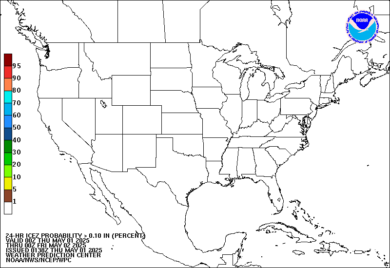
Ice Day 1 Outlook

Ice Day 1 Outlook - TEXT

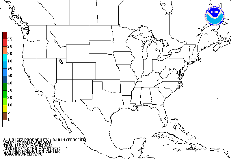
Ice Day 2 Outlook

Ice Day 2 Outlook - TEXT

  Submit Report
Hazardous Weather Outlook
Latest Winter Statement
Latest Storm Reports


Weather Graphic

Weather Story

Composite Reflectivity

Radar