
Numerous severe thunderstorms are expected across a broad region from the Ohio Valley to the Mid-Atlantic and Northeast States today into tonight. Swaths of damaging wind gusts are expected and some tornadoes are possible. Bertha is expected to bring tropical storm conditions to portions of the Gulf Coast from the Florida Panhandle westward to southeastern Louisiana later today and Wednesday. Read More >
Last Map Update: Tue, Jul 21, 2026 at 2:50:40 pm PDT
|
Text Product Selector (Selected product opens in current window)
|
|


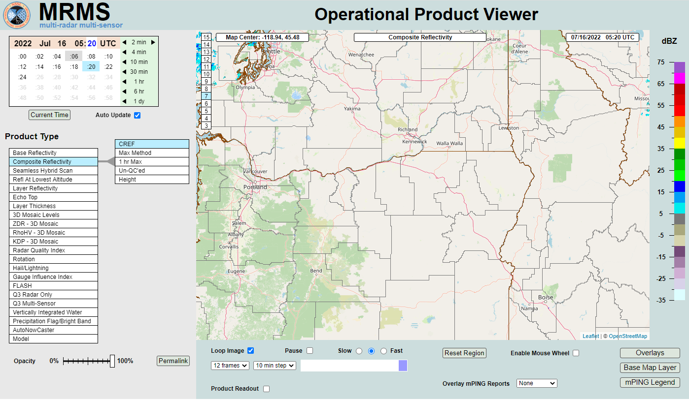 MRMS Radar Imagery
 Radar
Radar Satellite
 Graphical Forecasts
 Forecast Discussion
 Current Weather
 Climate
 Recent Weather
 Hour by Hour Forecast
 Alternate Point Forecast
 Forecast Maps
 Fire Weather
 Precipitation Amount Potential
 Rivers & Lakes
 Drought
 Air Quality
 Weather Stats