
Print This Forecast (Printer-Friendly)
FNUS51 KRNK 092024
FWFRNK
Fire Weather Planning Forecast for SW VA...SE WV and NW NC
National Weather Service Blacksburg VA
324 PM EST Tue Dec 9 2025
.DISCUSSION...
No fire weather concerns for the remainder of the week.
Weather is expected to remain unsettled.
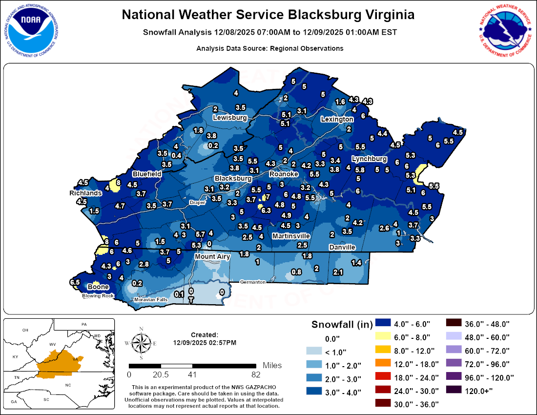
A strong cold front will pass across the region Wednesday
afternoon, bringing wind, and triggering another round of snow
showers that will mainly impact the mountains, particularly the
higher mountains from southeast West Virginia through the High
Country of North Carolina. Another disturbance has the potential
to bring a mixture of mountain rain and snow on Friday,
followed by a strong cold front during the coming weekend.
VAZ013-100915-
Pulaski-
Including the cities of Radford and Pulaski
324 PM EST Tue Dec 9 2025
Tonight Wed Wed Night Thu
Cloud Cover Pcldy Mcldy Mcldy Pcldy
Precip Type None Rain Snow/Rain None
Chance Precip (%) 0 40 50 0
Chance of Thunder (%) 0 0 0 0
Min/Max Temp 26 47 26 35
Max/Min RH % 89 59 83 58
Wind 20ft/early(mph) SW 5 SW 9 G23 W 12 G25 NW 9 G23
Wind 20ft/late(mph) SW 6 G19 SW 11 G23 NW 11 G24 W 8 G18
Precip Amount 0.00 0.01 0.01 0.00
Precip Duration 1 2
Precip Begin 1 PM Continuing
Precip End Continuing 6 AM
Mixing Hgt(ft-agl) 3460 3860
Transport Wnd (mph) W 38 W 18
Vent Rate (mph-ft) 131480 69480
Dispersion Fair Excellent
Max ADI Early 6 Very Poor 69 Good 17 Gen Poor 54 Gen Good
Max ADI Late 7 Poor 94 Good 36 Fair 52 Gen Good
Max LVORI Early 5 3 4 3
Max LVORI Late 5 3 3 2
Remarks...None.
.FORECAST FOR DAYS 3 THROUGH 7...
.FRIDAY...Mostly cloudy with a slight chance of snow and rain.
Lows in the lower 20s. Highs around 40. Minimum RH 61 percent.
West winds 5 to 10 mph.
.SATURDAY...Mostly cloudy. A slight chance of rain and snow. Lows
in the upper 20s. Highs in the mid 40s. Minimum RH 51 percent.
West winds 10 to 15 mph.
.SUNDAY...Mostly cloudy. A chance of rain and a slight chance of
snow. Lows in the mid 20s. Highs in the mid 30s. Minimum RH
49 percent. Northwest winds 5 to 10 mph.
.MONDAY...Partly cloudy. Lows around 12. Highs in the mid 30s.
Minimum RH 34 percent. West winds 5 to 10 mph.
.TUESDAY...Mostly cloudy. A slight chance of rain and freezing
rain. Lows in the lower 20s. Highs in the lower 40s. Minimum RH
48 percent. West winds around 5 mph.
.OUTLOOK 8 TO 14 DAYS...
Temperatures near normal. Precipitation below normal.

