National Weather Service United States Department of Commerce

Heavy Rainfall and Severe Thunderstorms in the Midwest and Ohio Valley Tuesday

Multiple rounds of severe thunderstorms appear likely Tuesday across the Midwest and Ohio Valley, with severe wind gusts in excess of 75 mph as the primary threat. Heavy to excessive rainfall may lead to considerable flash and urban flooding impacts Tuesday across portions of the Ohio Valley. A Moderate Risk (level 3 of 4) of excessive rainfall has been issued. Read More >


SPOT Request Page 


Google Form (when SPOT request page is not working)


New NOAA/NWS Spot Training Materials


Were you looking for the National Fire Weather Page?


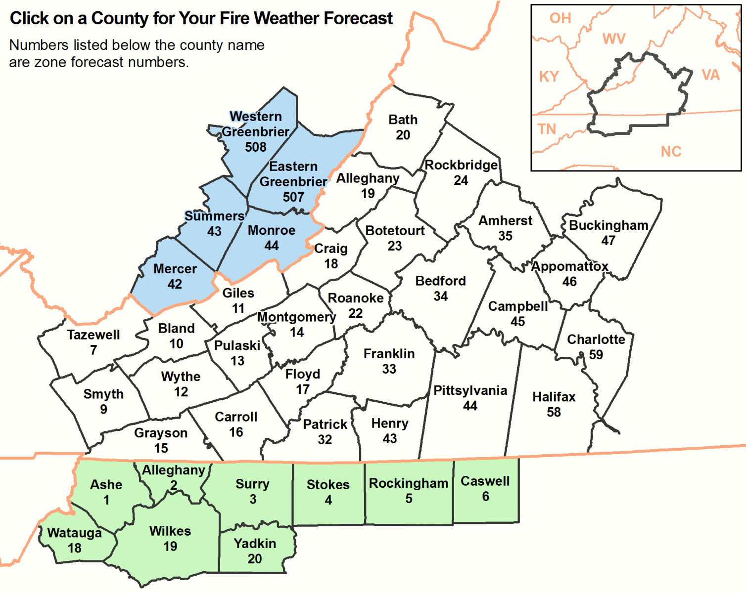
Map of Fire Weather ZonesCaswell Fire Weather Forecast Rockingham Fire Weather Forecast Stokes Fire Weather Forecast Yadkin Fire Weather Forecast Wilkes Fire Weather Forecast Watauga Fire Weather Forecast Surry Fire Weather Forecast Alleghany, NC Fire Weather Forecast Ashe Fire Weather Forecast Henry Fire Weather Forecast Patrick Fire Weather Forecast Carroll Fire Weather Forecast Grayson Fire Weather Forecast Floyd Fire Weather Forecast Smyth Fire Weather Forecast Wythe Fire Weather Forecast Pulaski Fire Weather Forecast Franklin Fire Weather Forecast Montgomery Fire Weather Forecast Roanoke Fire Weather Forecast Pittsylvania Fire Weather Forecast Halifax Fire Weather Forecast Charlotte Fire Weather Forecast Campbell Fire Weather Forecast Bedford Fire Weather Forecast Appomattox Fire Weather Forecast Buckingham Fire Weather Forecast Amherst Fire Weather Forecast Botetourt Fire Weather Forecast Rockbridge Fire Weather Forecast Bath Fire Weather Forecast Alleghany, VA Fire Weather Forecast Craig Fire Weather Forecast Giles Fire Weather Forecast Bland Fire Weather Forecast Tazewell Fire Weather Forecast Mercer Fire Weather Forecast Monroe Fire Weather Forecast Summers Fire Weather Forecast Western Greenbrier Fire Weather Forecast Eastern Greenbrier Fire Weather Forecast

NOTE: IF FORECAST ABOVE IS UNAVAILABLE, PLEASE REFERENCE THE BACKUP SERVER FOR YOUR FIRE WEATHER FORECAST! THANK YOU.


LATEST FIRE WEATHER WATCHES AND RED FLAG WARNINGS!

Spot Forecasts:

Wildfire Forecasts:

Experimental Fire Applications

George Washington and Jefferson National Forest Presuppresion Forecasts: RAWS Point Forecasts:

Observation Sites

Planning

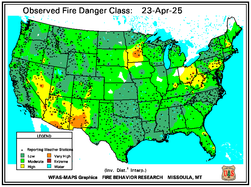
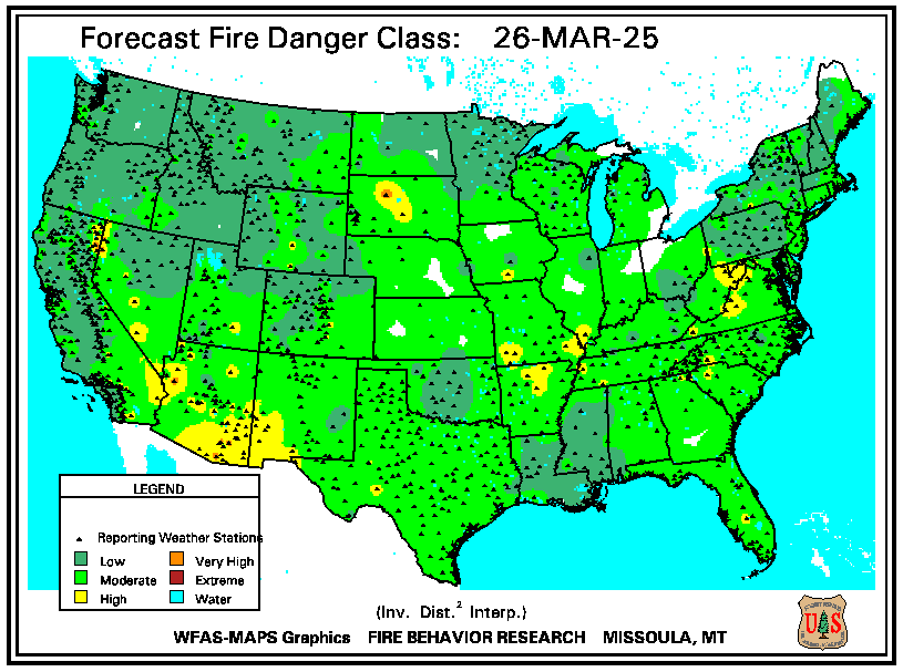
National Fire Potential Maps

National Weather Service

Agencies:

Help

Product Browser