National Weather Service United States Department of Commerce

Strong to Severe Storms in the Upper Midwest; Bering Sea Low Continues to Impact Southwest Alaska

Scattered severe thunderstorms are possible Thursday across central and eastern Minnesota, Iowa, and western Wisconsin. A few tornadoes, isolated very large hail, and damaging winds may occur. In southwest Alaska, a Bering Sea low continues to cause strong winds, significant rainfall, and high seas, with further impacts expected Friday into the weekend from a North Pacific storm. Read More >

Click a location below for detailed forecast.

Last Map Update: Thu, Sep 19, 2024 at 4:02:56 am CDT

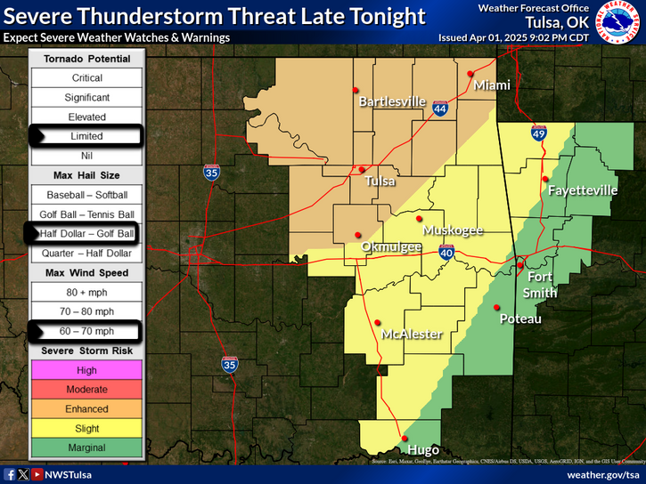
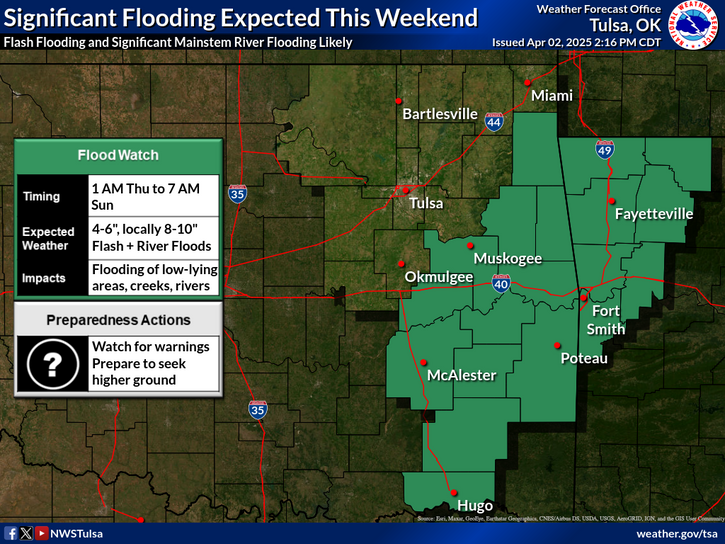
Rain & storm chances return late tonight into mid morning Thursday across mainly northeast Oklahoma. Additional storm chances expand across much of eastern Oklahoma and northwest Arkansas Thursday afternoon and evening as a frontal boundary approaches. Locally strong winds are the primary threat Thursday afternoon and evening.
A slight risk of severe weather is outlooked for locations near the Kansas border Thursday. Also, a marginal severe weather risk is outlooked for much of northeast Oklahoma into far northwest Arkansas. Thursday late afternoon through the evening hours is the forecast timing of the greater potential, with locally strong winds the primary threat and large hail being a secondary threat.
Low to moderate heat impacts are expected on Thursday. Please take appropriate heat precautions if spending extended time outdoors, especially when in full sun.
Latest Text Product Selector (Selected product opens in a new window)

Decision Support Hazards Models Observations Climate Hydrology
 
 
Social Media Satellite Fire Weather Weather Radio Spotter Training Text Products