
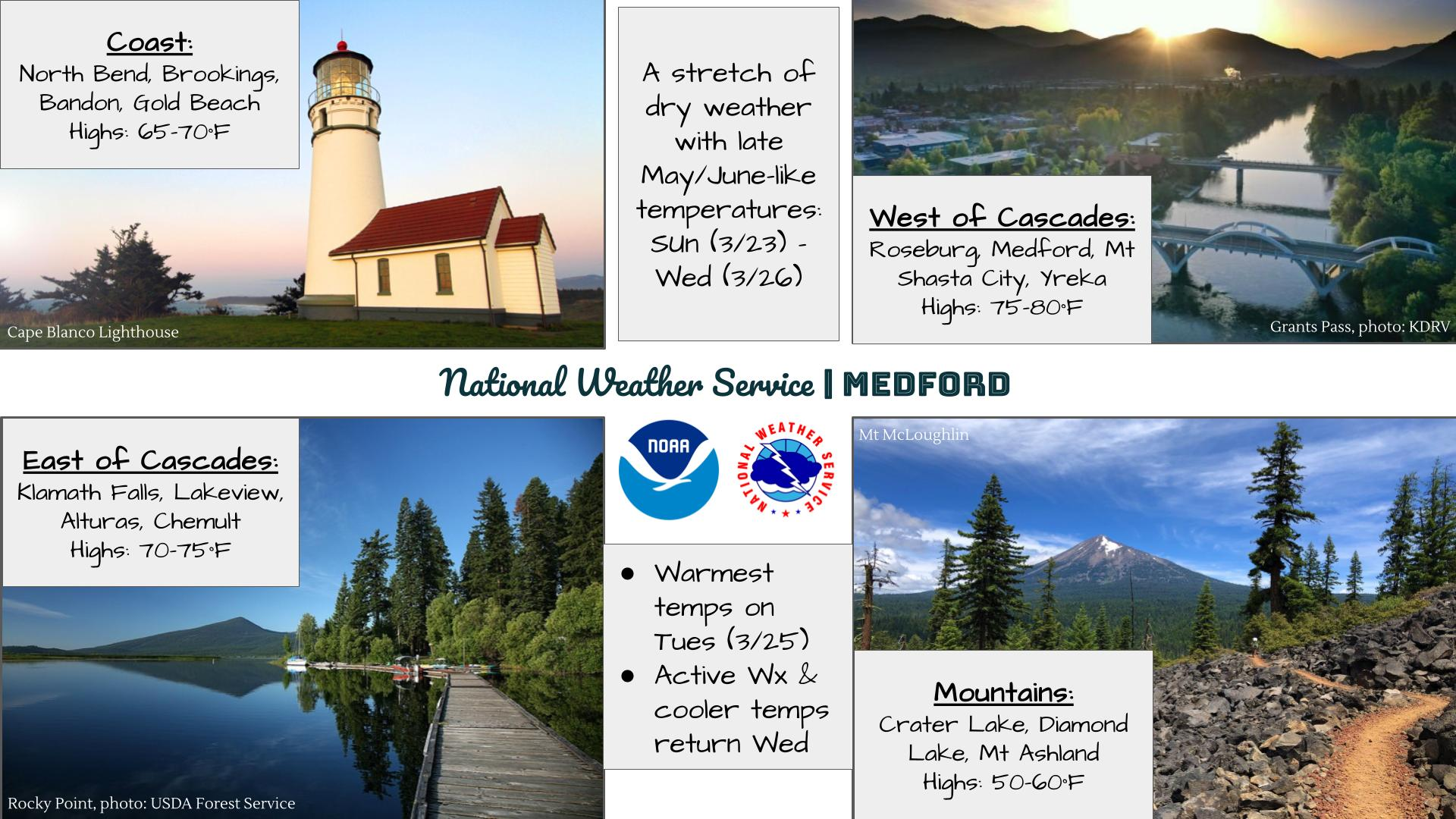
Tropical system in the Gulf expected to gradually strengthen the next couple of days off the Florida Panhandle and Alabama coasts. Instances of flash flooding will be possible through Thursday along the eastern and central Gulf Coast. Severe thunderstorms will develop and move along a cold front crossing the Upper Midwest, and through the Ohio Valley/Mid-Atlantic on Tuesday. Read More >
Last Map Update: Mon, Jul 20, 2026 at 10:38:37 am PDT


|
Text Product Selector (Selected product opens in current window)
|
|


 Precipitation Tracker
 Graphical Hazards Outlook
 RADAR and Satellite
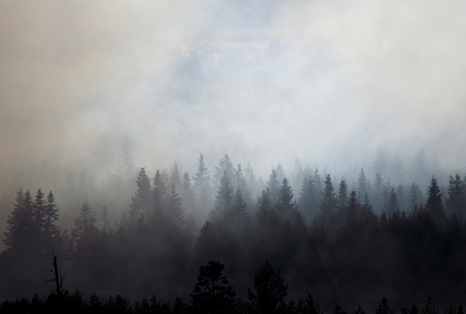 Wildfire Safety
 Forecast Discussion
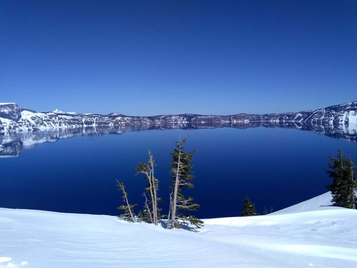 Snowfall and Depth With Crater Lake Details
 Avalanche Guidance
 NESDIS Geocolor
 Weather Map
 Marine
 GOES 18 Water Vapor Imagery
 Local Climate Data
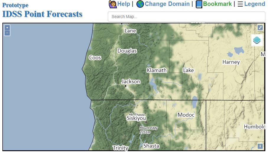 Alternate Point Forecast
 Smoke Forecast
 Weather Stats
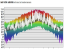 Year Charts
 Fire Weather